MyTopo
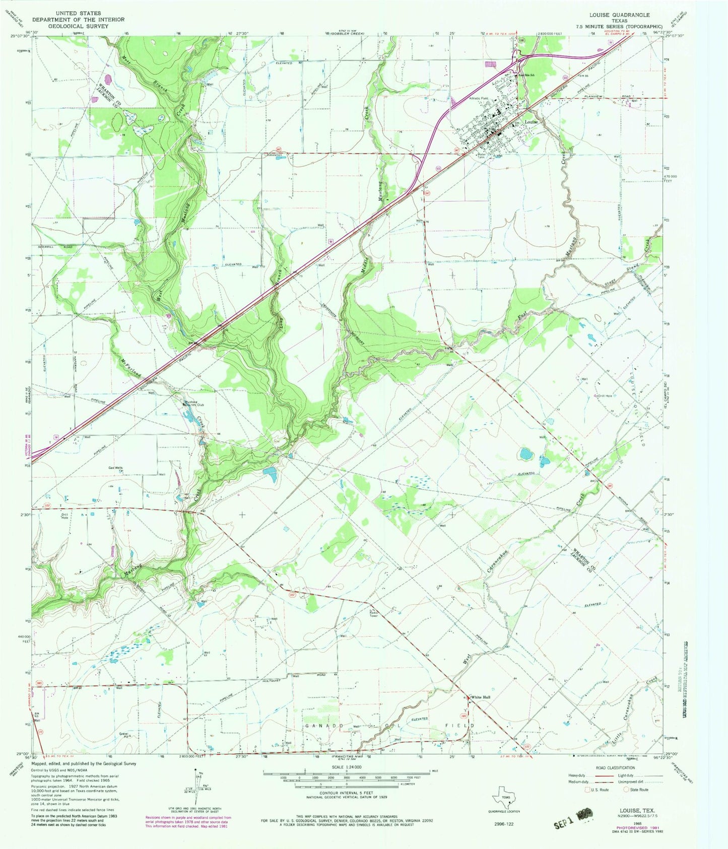
Classic USGS Louise Texas 7.5'x7.5' Topo Map
Couldn't load pickup availability
Historical USGS topographic quad map of Louise in the state of Texas. Map scale may vary for some years, but is generally around 1:24,000. Print size is approximately 24" x 27"
This quadrangle is in the following counties: Jackson, Wharton.
The map contains contour lines, roads, rivers, towns, and lakes. Printed on high-quality waterproof paper with UV fade-resistant inks, and shipped rolled.
Contains the following named places: East Mustang Creek, East Side School, Flying V Ranch Airport, Ganado Division, KIOX-FM (El Campo), Long Branch, Louise, Louise Census Designated Place, Louise Elementary School, Louise High School, Louise Oil Field, Louise Post Office, Louise Volunteer Fire Department, McFarland Creek, Middle Mustang Creek, Mott Branch, Mustang Country Club, Stage Stand Creek, West Mustang Creek, Wharton County Constable's Office Precinct 3, White Hall, ZIP Code: 77962