MyTopo
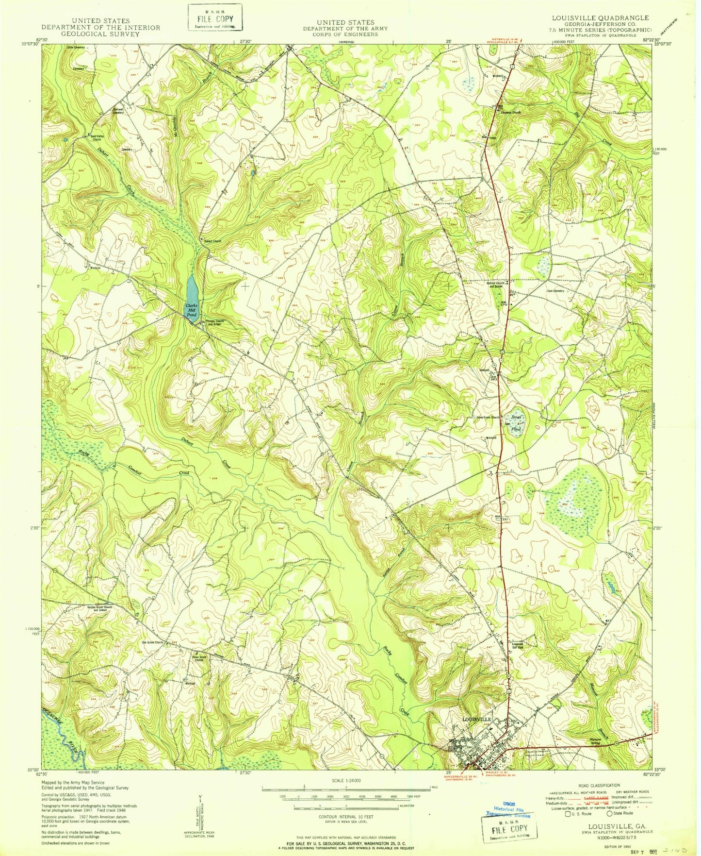
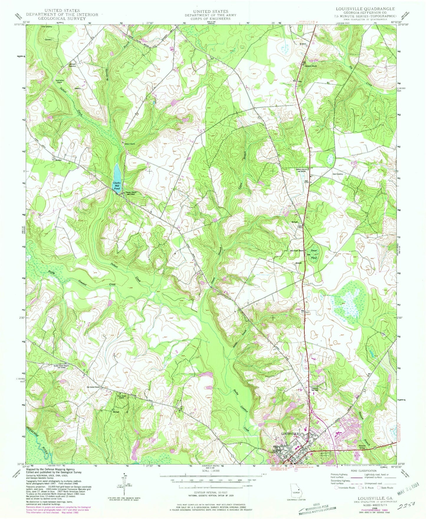
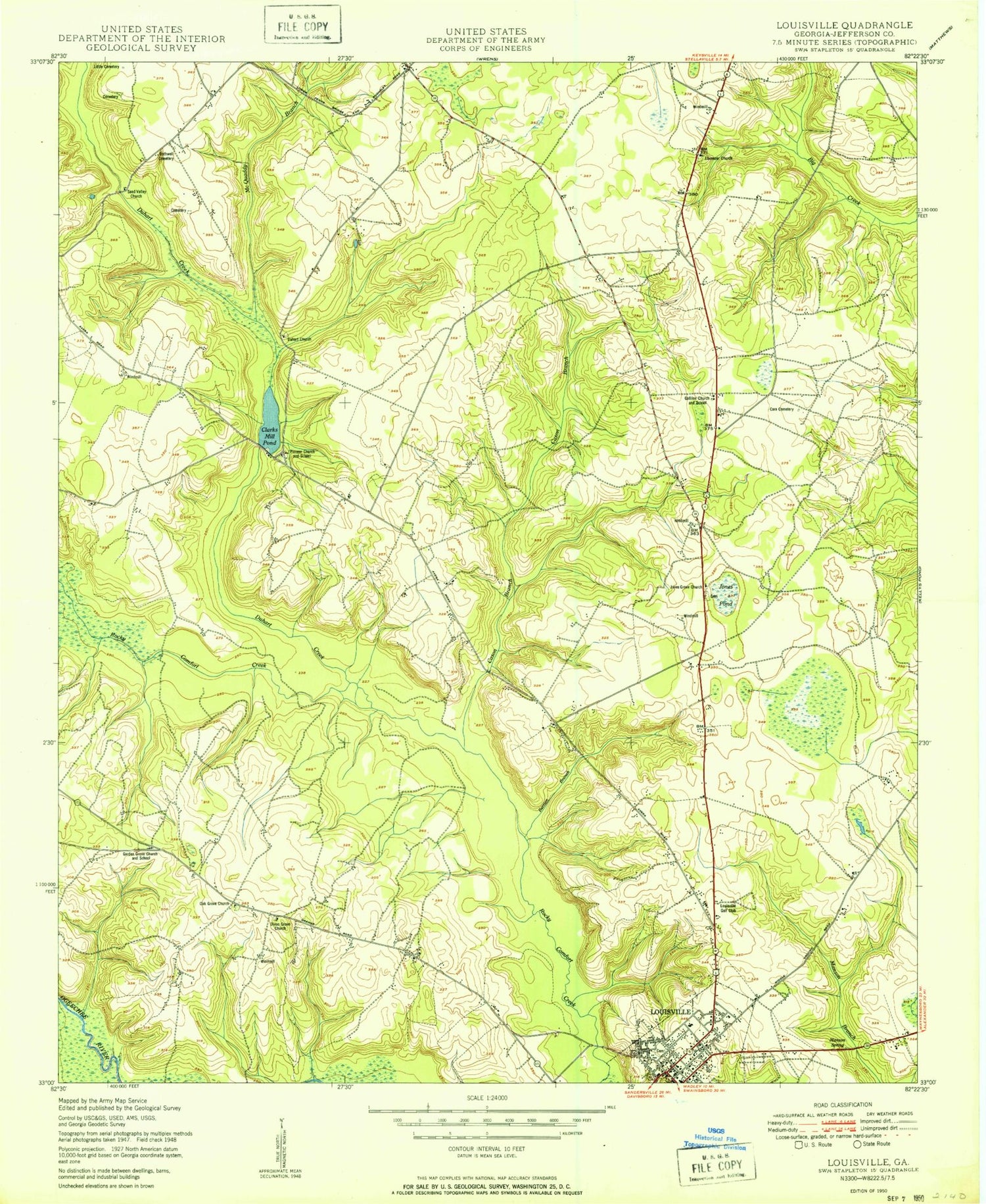
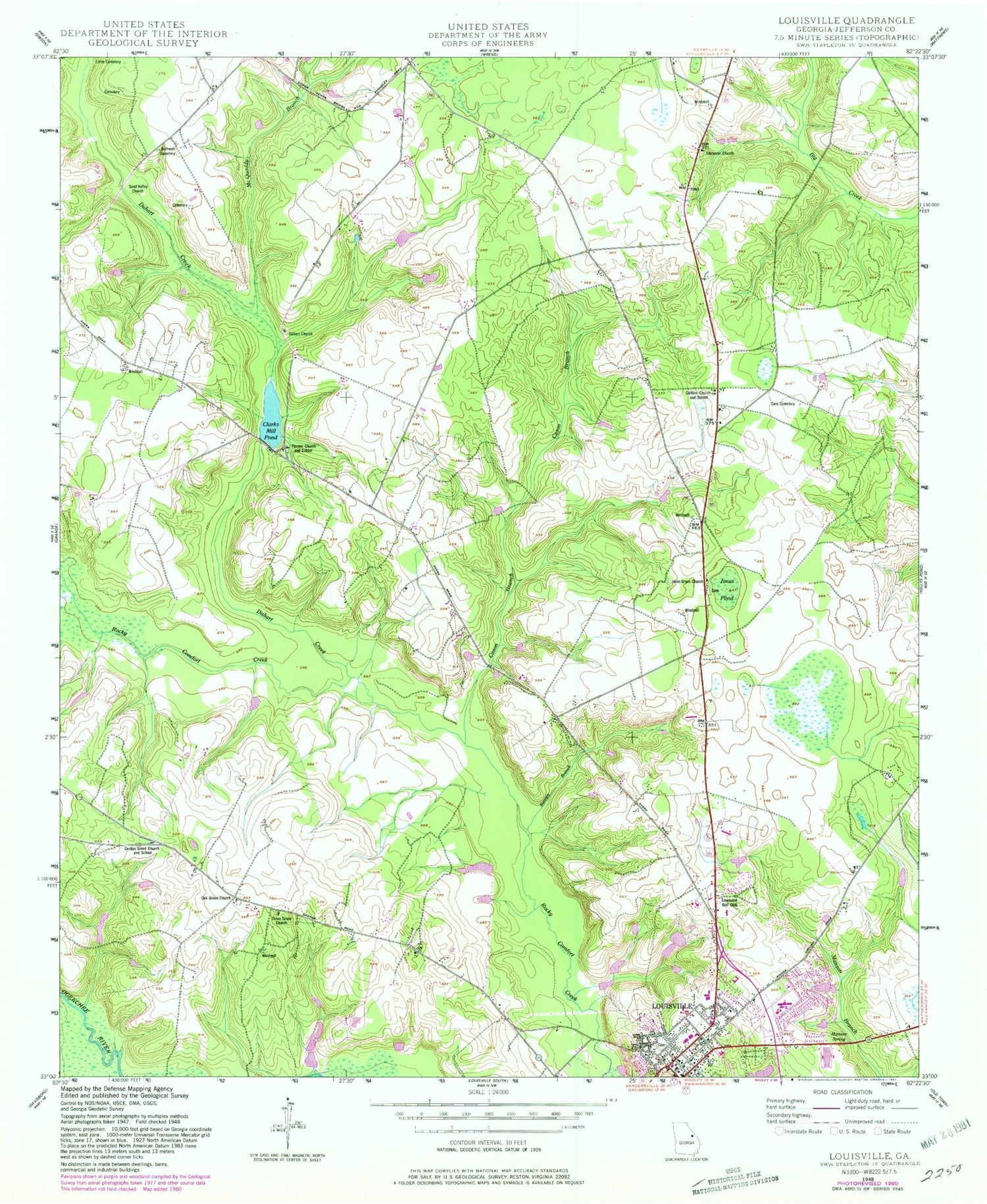
Classic USGS Louisville Georgia 7.5'x7.5' Topo Map
Couldn't load pickup availability
Historical USGS topographic quad map of Louisville in the state of Georgia. Map scale may vary for some years, but is generally around 1:24,000. Print size is approximately 24" x 27"
This quadrangle is in the following counties: Jefferson.
The map contains contour lines, roads, rivers, towns, and lakes. Printed on high-quality waterproof paper with UV fade-resistant inks, and shipped rolled.
Contains the following named places: Aldred Chapel, Berrien Branch, Bothwell Cemetery, Cara Cemetery, Cason Branch, Clarks Mill, Clarks Mill Pond, Davis Lake, Davis Lake Dam, Dixon Grove Cemetery, Dixon Grove Church, Duhart Church, Duhart Church Cemetery, Duhart Creek, Ebenezer Church, Ebenezer Church Cemetery, Gallilee Church, Gallilee School, Garden Grove Church and School, Gardner Lake, Gardner Lake Dam, Gordon Grove Church Cemetery, Henderson Lake, Henderson Lake Dam, Hillcrest Volunteer Fire Department, Jefferson County, Jefferson County Correctional Institution, Jefferson County Jail, Jefferson County Louisville Station Headquarters, Jefferson County Sheriff's Office, Jefferson Hospital, Jefferson Memorial Gardens Cemetery, Jones Grove Church, Jones Grove Church Cemetery, Jones Pond, Lake Marion, Lake Marion Dam, Little Cemetery, Logyard School, Louisville, Louisville Baptist Church, Louisville City Hall, Louisville District School Number 1, Louisville Division, Louisville Golf Club, Louisville High School, Louisville Police Department, Louisville Post Office, Manson Spring, McQuaddy Branch, Oak Grove Cemetery, Oak Grove Church, Pine Hill Church Cemetery, Pinecrest Mennonite Church Cemetery, Pioneer Church, Pioneer School, Rhodes Store, Saint Matthews Methodist Episcopal Church, Saint Paul Baptist Church, Sand Valley Bridge, Sand Valley Church, WPEH-AM (Louisville), WPEH-FM (Louisville), ZIP Code: 30434


