MyTopo
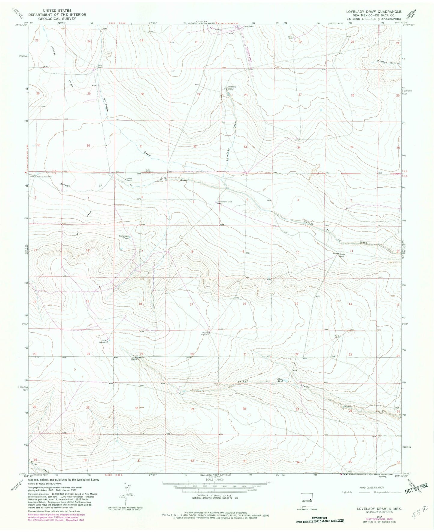
Classic USGS Lovelady Draw New Mexico 7.5'x7.5' Topo Map
Couldn't load pickup availability
Historical USGS topographic quad map of Lovelady Draw in the state of New Mexico. Map scale may vary for some years, but is generally around 1:24,000. Print size is approximately 24" x 27"
This quadrangle is in the following counties: De Baca.
The map contains contour lines, roads, rivers, towns, and lakes. Printed on high-quality waterproof paper with UV fade-resistant inks, and shipped rolled.
Contains the following named places: Baker Ranch, Cottonwood Well, Double V Ranch Airport, Duke Windmill, Galloway Tank, Gibbons Ranch, Gillespie Draw, Hart Draw, Lightfoot Windmill, Lovelady Draw, Lovelady Spring, Lovelady Springs, Pursley Windmill, Shirley Ranch, Short Tank, Simmons Windmill, Small Windmill, Whites Draw