MyTopo
Classic USGS Lovering Mountain New Hampshire 7.5'x7.5' Topo Map
Couldn't load pickup availability
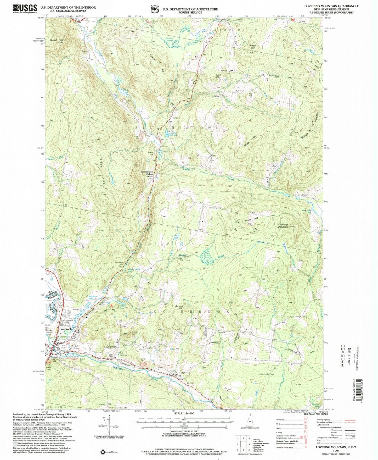
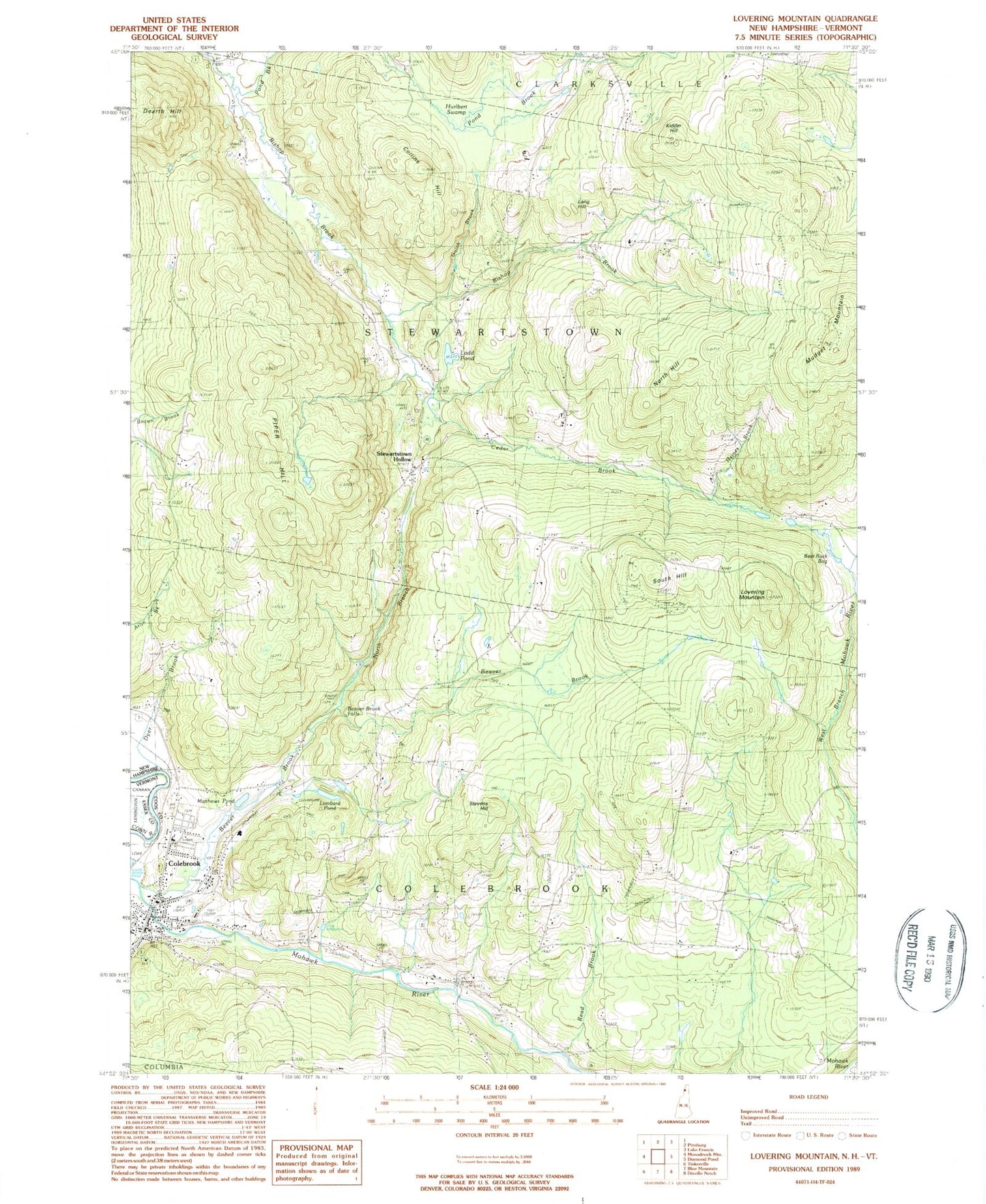
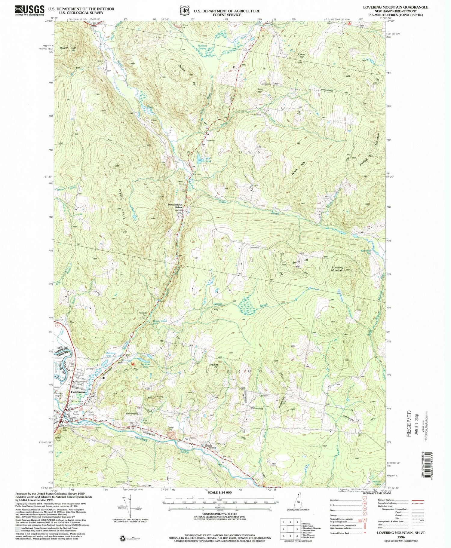
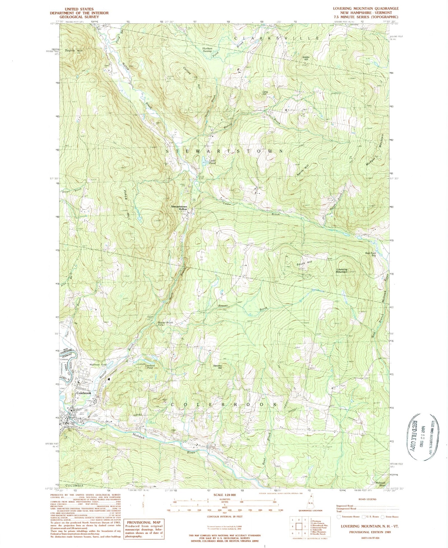
Historical USGS topographic quad map of Lovering Mountain in the state of New Hampshire. Typical map scale is 1:24,000, but may vary for certain years, if available. Print size: 24" x 27"
This quadrangle is in the following counties: Coos, Essex.
The map contains contour lines, roads, rivers, towns, and lakes. Printed on high-quality waterproof paper with UV fade-resistant inks, and shipped rolled.
Contains the following named places: Bear Rock Bog, Beaver Brook, Beaver Brook Falls, Colebrook, Collins Hill, Dearth Hill, Dyer Brook, Gulch Brook, Haines Brook, Hurlbert Swamp, Kidder Hill, Lang Hill, Lombard Pond, Lovering Mountain, Matthews Pond, Mudget Mountain, North Branch Beaver Brook, North Hill, Piper Hill, Pond Brook, Read Brook, South Hill, Stevens Hill, Stewartstown Hollow, Ladd Pond, North Branch Beaver Brook, Town of Stewartstown, Town of Colebrook, Bear Rock School, Brackett School, Cedar Brook, Cedar Brook School (historical), Clarksville Pond School (historical), East Colebrook Church (historical), Factory School (historical), Forbes School (historical), Haines School (historical), North Hill School (historical), Piper Hill School (historical), Piper School (historical), South Hill School (historical), Stewartstown Hollow School (historical), Whittemore School (historical), Kidderville, Beaver Brook Wayside Area, Colebrook Academy, Colebrook Country Club, Colebrook Elementary School, Colebrook Post Office, Colebrook Primary School, Community Baptist School, Numismatic International Book Library, Upper Connecticut Valley Hospital, Colebrook Fire Department, Colebrook Census Designated Place, Colebrook Police Department, Village Cemetery


