MyTopo
Classic USGS Lovington NW New Mexico 7.5'x7.5' Topo Map
Regular price
$16.95
Regular price
Sale price
$16.95
Unit price
per
Couldn't load pickup availability
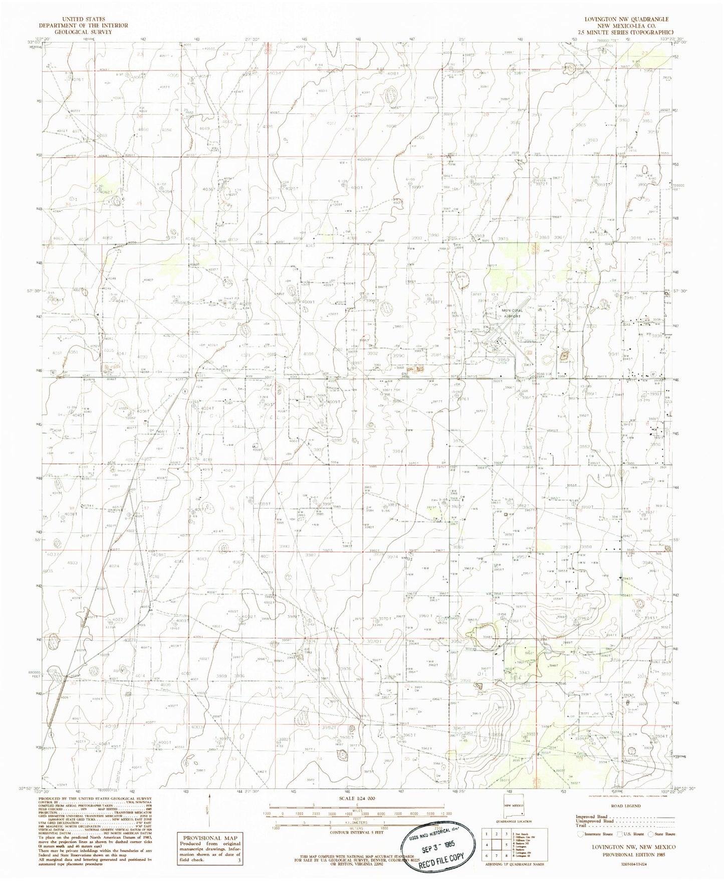
Historical USGS topographic quad map of Lovington NW in the state of New Mexico. Map scale may vary for some years, but is generally around 1:24,000. Print size is approximately 24" x 27"
This quadrangle is in the following counties: Lea.
The map contains contour lines, roads, rivers, towns, and lakes. Printed on high-quality waterproof paper with UV fade-resistant inks, and shipped rolled.
Contains the following named places: Edson Ranch, Eidson Oil Field, Lea County-Zip Franklin Memorial Airport, Lovington Division, Mississippi Chem Corp Tailings Pond Dam, Shoe Bar Oil Field, Townsend Oil Field, ZIP Code: 88260