MyTopo
Classic USGS Lovington Illinois 7.5'x7.5' Topo Map
Couldn't load pickup availability
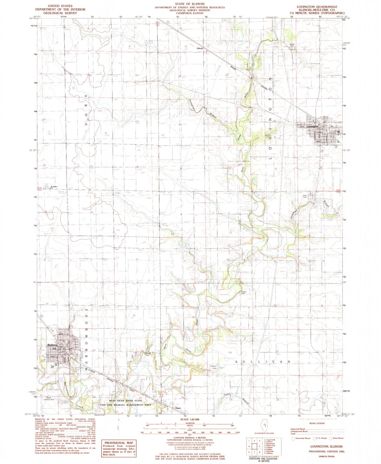
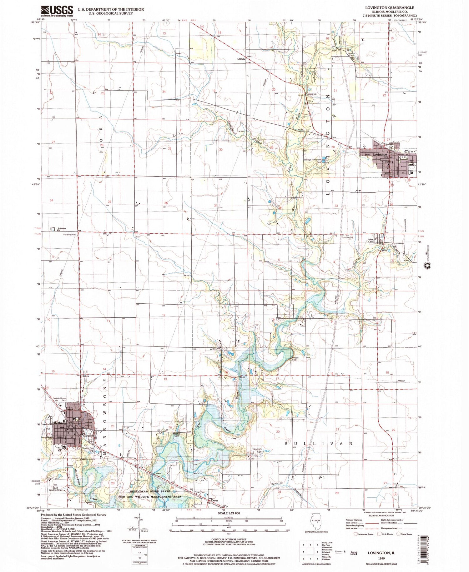
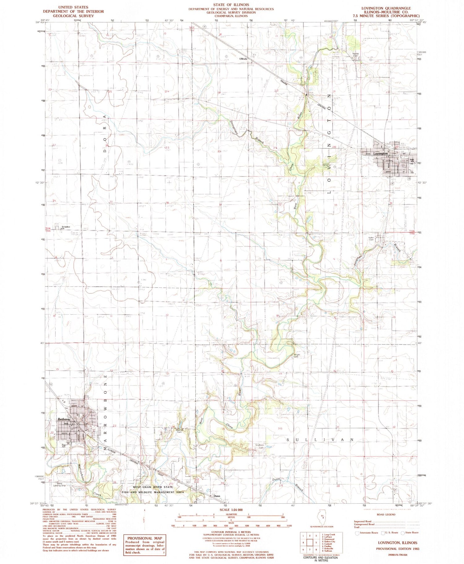
Historical USGS topographic quad map of Lovington in the state of Illinois. Map scale may vary for some years, but is generally around 1:24,000. Print size is approximately 24" x 27"
This quadrangle is in the following counties: Moultrie.
The map contains contour lines, roads, rivers, towns, and lakes. Printed on high-quality waterproof paper with UV fade-resistant inks, and shipped rolled.
Contains the following named places: American School, Bethany, Bethany Elementary School, Bethany Fire Protection District and Ambulance Service, Bethany High School, Bethany Police Department, Bethany Post Office, Bland Landing Strip, Bohler School, Brush Creek, Dunn, East Stringtown School, First Christian Church of Bethany, Forest Hill School, Forest View School, Free Methodist Church, Hewitt Cemetery, Hewitt School, Jonathan Branch, Keller Cemetery, Lovington, Lovington Community Ambulance, Lovington Elementary School, Lovington High School, Lovington Police Department, Lovington Post Office, Lovington Volunteer Fire Protection District, Marrowbone Township Cemetery, Mayflower School, Mitchell Cemetery, Moultrie County Memorial Park Cemetery, Mount Pleasant School, New Castle School, Okaw Valley Orchard, Pea Cemetery, Pulltight School, Saint Isadore Cemetery, Saint Isadore Church, Souther Cemetery, Stringtown Branch, Stringtown School, Township of Dora, Township of Lovington, Ullrich, Village of Bethany, Village of Lovington, White School, ZIP Code: 61937