MyTopo
Classic USGS Low Mountain Arizona 7.5'x7.5' Topo Map
Regular price
$16.95
Regular price
Sale price
$16.95
Unit price
per
Couldn't load pickup availability
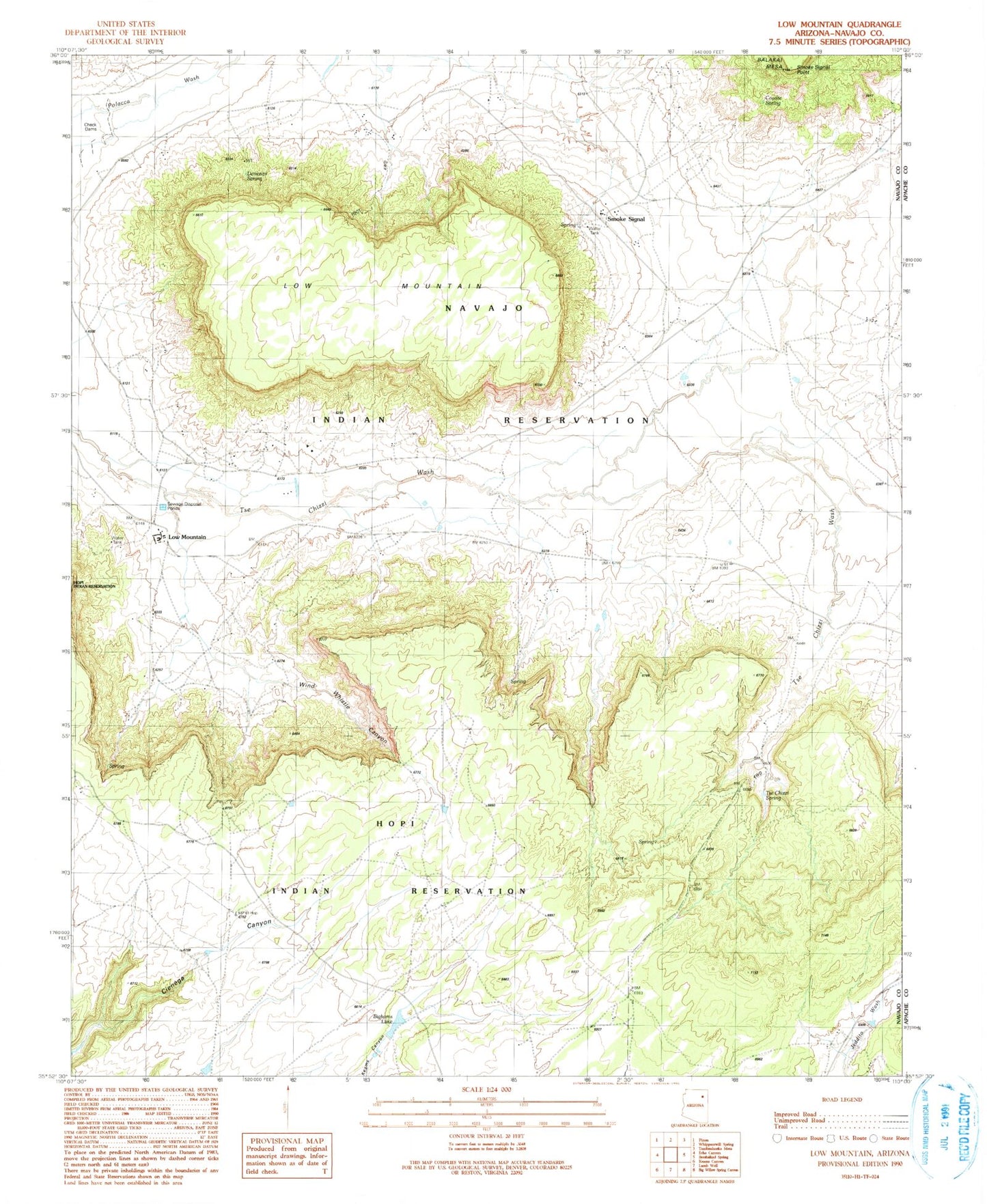
Historical USGS topographic quad map of Low Mountain in the state of Arizona. Map scale may vary for some years, but is generally around 1:24,000. Print size is approximately 24" x 27"
This quadrangle is in the following counties: Apache, Navajo.
The map contains contour lines, roads, rivers, towns, and lakes. Printed on high-quality waterproof paper with UV fade-resistant inks, and shipped rolled.
Contains the following named places: Bighams Lake, Coyote Spring, Denezipi Spring, Hast-clog-toh, Low Mountain, Low Mountain Airport, Low Mountain Boarding School, Low Mountain Census Designated Place, RU573, Smoke Signal, Smoke Signal Point, Tse Chizzi Spring, Wind Whistle Canyon