MyTopo
Classic USGS Lowe Kansas 7.5'x7.5' Topo Map
Regular price
$16.95
Regular price
Sale price
$16.95
Unit price
per
Couldn't load pickup availability
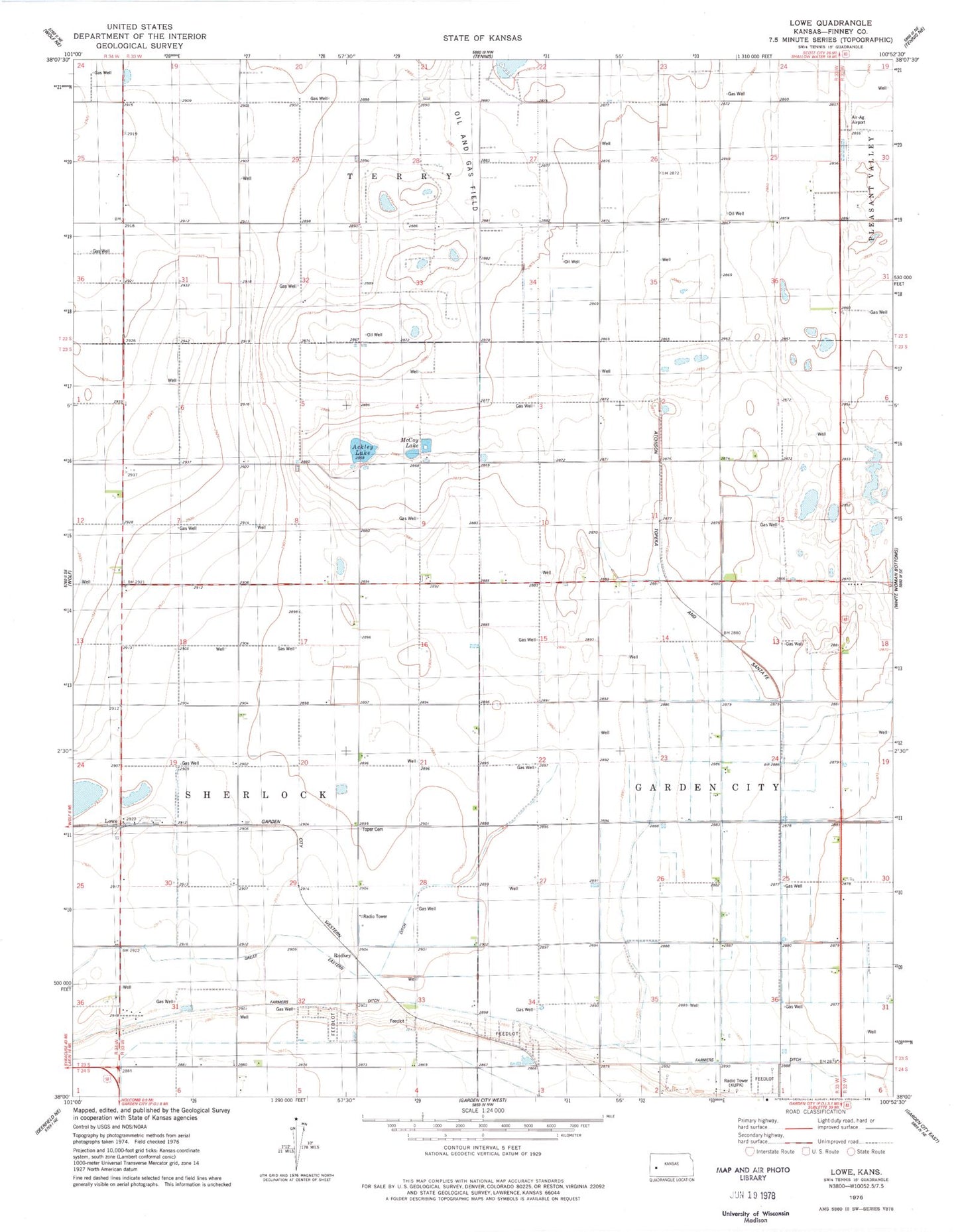
Historical USGS topographic quad map of Lowe in the state of Kansas. Map scale may vary for some years, but is generally around 1:24,000. Print size is approximately 24" x 27"
This quadrangle is in the following counties: Finney.
The map contains contour lines, roads, rivers, towns, and lakes. Printed on high-quality waterproof paper with UV fade-resistant inks, and shipped rolled.
Contains the following named places: Ackley Lake, Air-Ag Airport, Alfalfa, Country Acres Trailer Park, Farmers Ditch, KBUF-FM (Garden City), Lowe, McCoy Lake, Pleasant View School, Rodkey, Roxana School, Terryton, Toper Cemetery, Yeadon Trailer Park