MyTopo
Classic USGS Lowell Oregon 7.5'x7.5' Topo Map
Couldn't load pickup availability
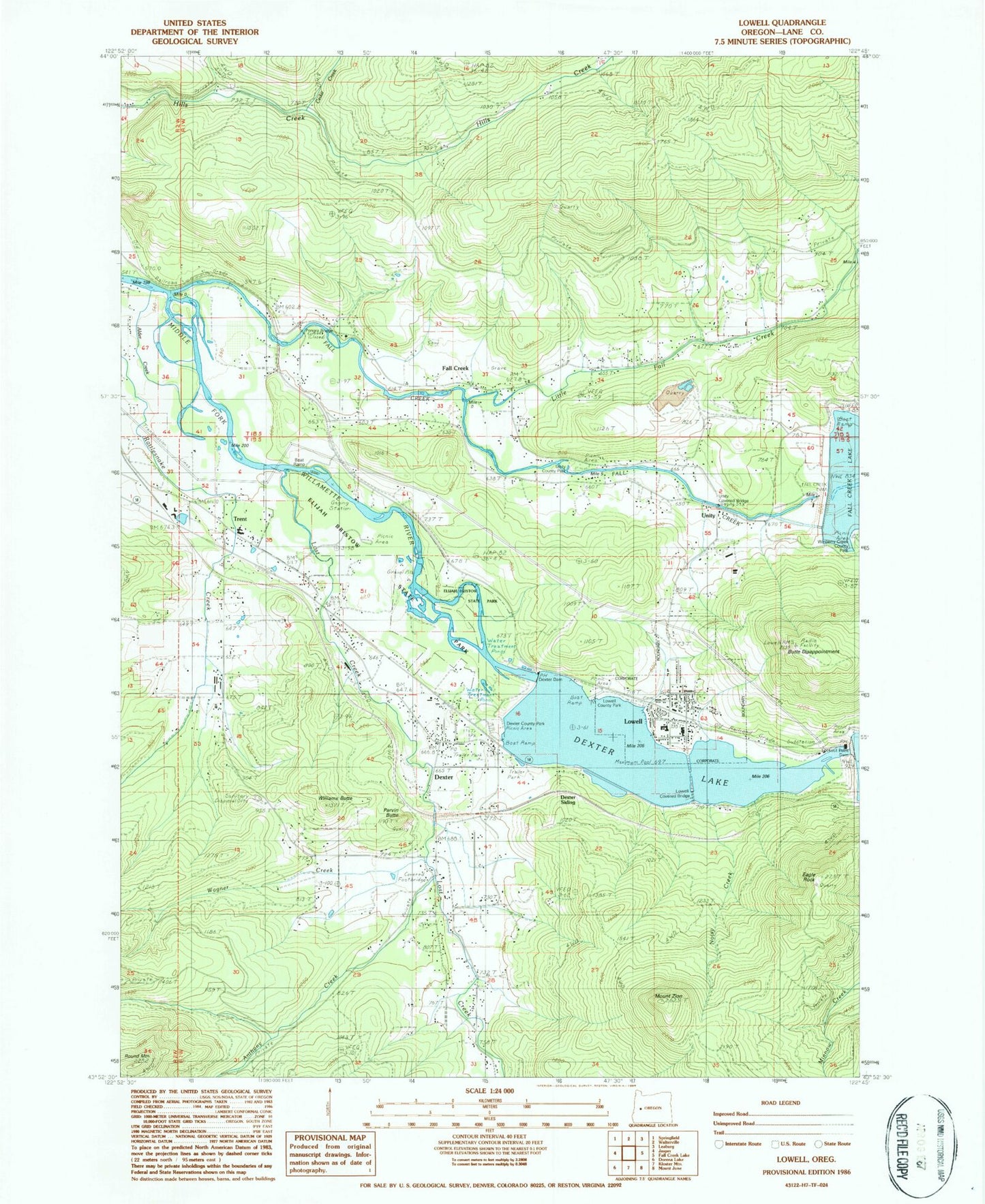
Historical USGS topographic quad map of Lowell in the state of Oregon. Map scale may vary for some years, but is generally around 1:24,000. Print size is approximately 24" x 27"
This quadrangle is in the following counties: Lane.
The map contains contour lines, roads, rivers, towns, and lakes. Printed on high-quality waterproof paper with UV fade-resistant inks, and shipped rolled.
Contains the following named places: Anthony Creek, Butte Disappointment, Cascade Foothills Library, Castle Creek, Cedar Creek, City of Lowell, Dexter, Dexter Census Designated Place, Dexter Creek, Dexter Dam, Dexter Park Boat Ramp, Dexter Post Office, Dexter Reservoir, Dexter Rural Fire Protection District, Dexter Siding, Dexter State Park, Dexter Wastewater Treatment, Eagle Rock, Elijah Bristow State Park, Fall Creek, Fall Creek Christian Church Cemetery, Fall Creek County Park, Fall Creek Dam, Fall Creek Post Office, Fall Creek Station, Green Reservoir, Hyland Cemetery, Jacoby Mountain, Lane County Public Works Shop Zone 3, Little Fall Creek, Lookout Point Dam, Lost Creek, Lost Creek Airport, Lowell, Lowell City Hall, Lowell Covered Bridge, Lowell High School, Lowell Municipal Court, Lowell Park, Lowell Park Boat Ramp, Lowell Post Office, Lowell Service Center, Lowell State Park, Lowell Volunteer Fire Protection District Station 1, Lowell Volunteer Fire Protection District Station 2, Lowell Wastewater Treatment Facility, Lowell Water Treatment, Lundy Elementary School, Mount Zion, Noisy Creek, North Shore Boat Ramp Fall Creek Reservoir, North Shore Boat Ramp Lookout Point Reservoir, Parvin Butte, Pengra, Pengra Access Boat Ramp, Pengra Covered Bridge, Pengra Mountain, Pengra Post Office, Round Mountain, Small Creek, Trent, Trent Census Designated Place, Trent Church of Christ, Trent Elementary School, Trent Post Office, Unity, Unity Covered Bridge, Wagner Creek, Williams Butte, Zion Post Office


