MyTopo
Classic USGS Lower Lake California 7.5'x7.5' Topo Map
Couldn't load pickup availability
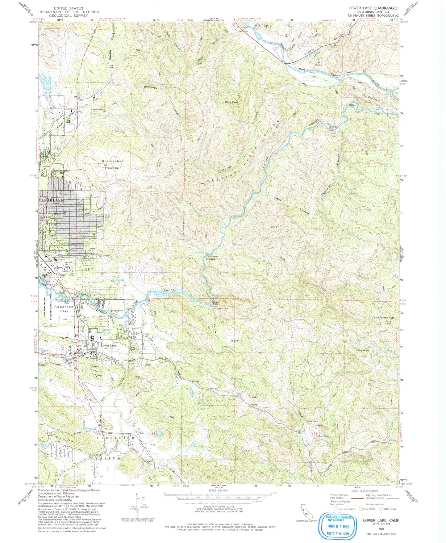
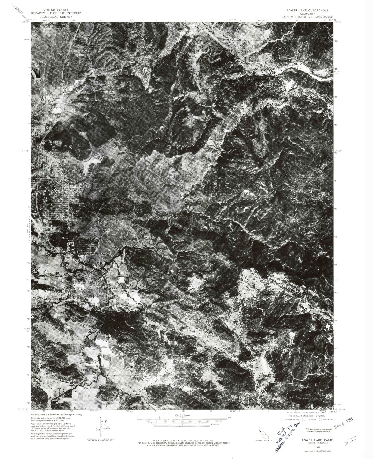
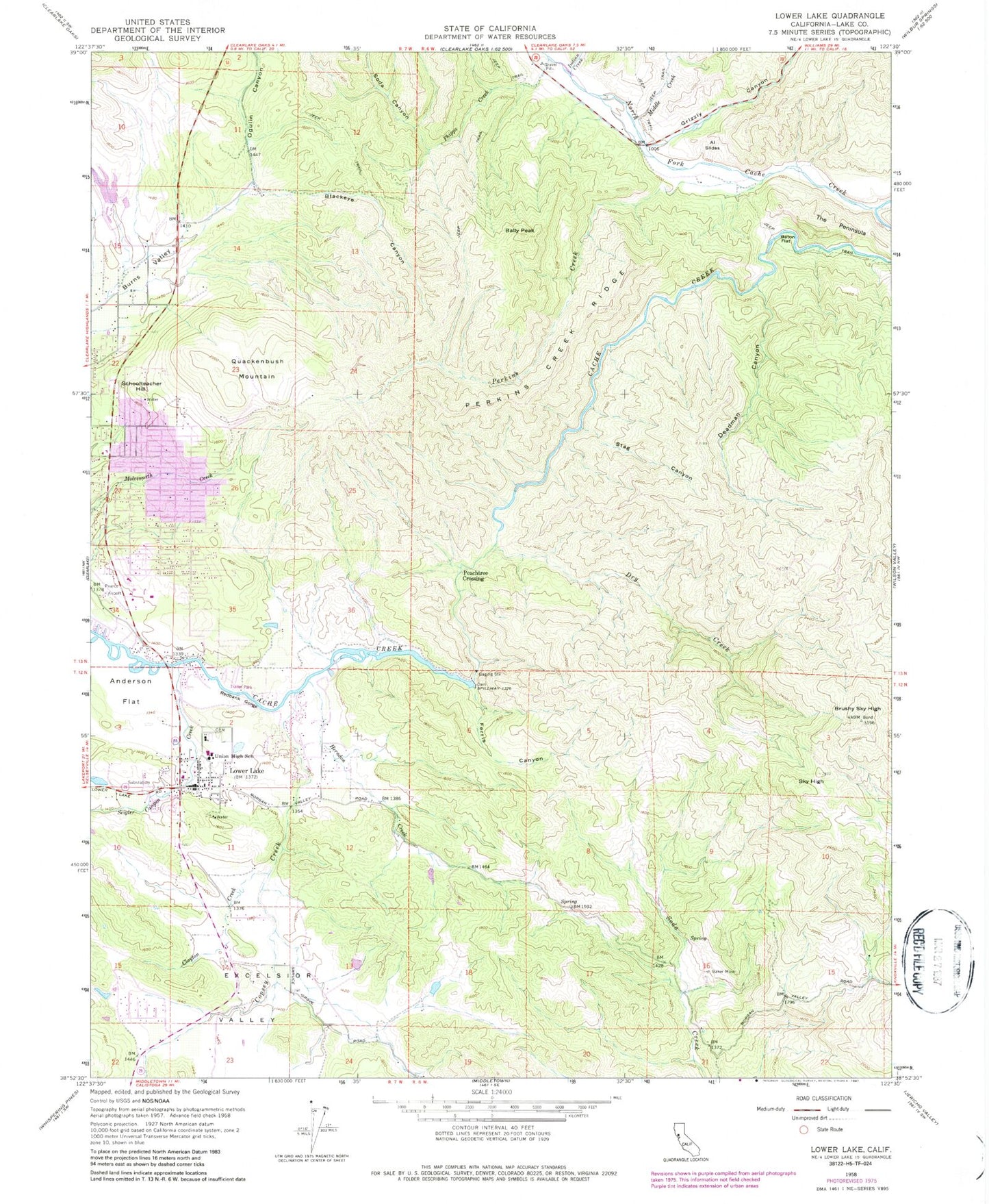
Historical USGS topographic quad map of Lower Lake in the state of California. Typical map scale is 1:24,000, but may vary for certain years, if available. Print size: 24" x 27"
This quadrangle is in the following counties: Lake.
The map contains contour lines, roads, rivers, towns, and lakes. Printed on high-quality waterproof paper with UV fade-resistant inks, and shipped rolled.
Contains the following named places: Al Slides, Anderson Flat, Baker Mine, Bally Peak, Baton Flat, Blackeye Canyon, Brushy Sky High, Clayton Creek, Copsey Creek, Deadman Canyon, Dry Creek, Excelsior Valley, Ferris Canyon, Herndon Creek, Perkins Creek, Perkins Creek Ridge, Phipps Creek, Redbank Gorge, Sky High, North Fork Cache Creek, Stag Canyon, The Peninsula, Lower Lake High School, Seigler Canyon Creek, Indian Creek, Middle Creek, Ogulin Canyon, Grizzly Canyon, Grizzly Creek, Soda Canyon, Lower Lake, Pearce Field (historical), Yuba College, Oak Hill Middle School, Pearce Airport (historical), Peachtree Crossing, Quackenbush Mountain, Schoolteacher Hill, Clear Lake Imp 1080 Dam, Cache Creek School (historical), Clear Lake Water Company Dam, Weiper Mine, Anderson Ranch (historical), Anderson Flats Trail, Cache Creek Trail, Church of Christ, Church of the Nazarene, Clear Lake Shopping Center, Deeper Life Christian Fellowship Church, Highlands Shopping Center, Kingdom Hall of Jehovahs Witnesses, Lower Lake Cemetery, Lower Lake Community United Methodist Church, Lower Lake Elementary School, Lower Lake Post Office, Lower Lake Schoolhouse Historic Site, Lower Lake Stone Jail, Lower Lake Winery, McVicar Trail, Redbud Community Hospital, Twin Lakes, William C Carle High School, Lower Lake Census Designated Place, Richard H Lewis Alternative School, Blue Heron School, Highlands High School, Konocti Adult School, Clearlake Division, Lower Lake Division, Lake County Fire Protection District Station 72, Lake County Fire Protection District Station 65, Hrutky Egg Ranch, Eastlake Landfill, Lake County Sheriff's Office Clearlake Substation, Herndon - Copsey Pioneer Cemetery, Al Slides, Anderson Flat, Baker Mine, Bally Peak, Baton Flat, Blackeye Canyon, Brushy Sky High, Clayton Creek, Copsey Creek, Deadman Canyon, Dry Creek, Excelsior Valley, Ferris Canyon, Herndon Creek, Perkins Creek, Perkins Creek Ridge, Phipps Creek, Redbank Gorge, Sky High, North Fork Cache Creek, Stag Canyon, The Peninsula, Lower Lake High School, Seigler Canyon Creek, Indian Creek, Middle Creek, Ogulin Canyon, Grizzly Canyon, Grizzly Creek, Soda Canyon, Lower Lake, Pearce Field (historical), Yuba College, Oak Hill Middle School, Pearce Airport (historical), Peachtree Crossing, Quackenbush Mountain, Schoolteacher Hill, Clear Lake Imp 1080 Dam, Cache Creek School (historical), Clear Lake Water Company Dam, Weiper Mine, Anderson Ranch (historical), Anderson Flats Trail, Cache Creek Trail, Church of Christ, Church of the Nazarene, Clear Lake Shopping Center, Deeper Life Christian Fellowship Church, Highlands Shopping Center, Kingdom Hall of Jehovahs Witnesses, Lower Lake Cemetery, Lower Lake Community United Methodist Church, Lower Lake Elementary School, Lower Lake Post Office, Lower Lake Schoolhouse Historic Site, Lower Lake Stone Jail, Lower Lake Winery, McVicar Trail, Redbud Community Hospital, Twin Lakes, William C Carle High School, Lower Lake Census Designated Place, Richard H Lewis Alternative School, Blue Heron School, Highlands High School, Konocti Adult School, Clearlake Division, Lower Lake Division, Lake County Fire Protection District Station 72, Lake County Fire Protection District Station 65, Hrutky Egg Ranch, Eastlake Landfill, Lake County Sheriff's Office Clearlake Substation, Herndon - Copsey Pioneer Cemetery


