MyTopo
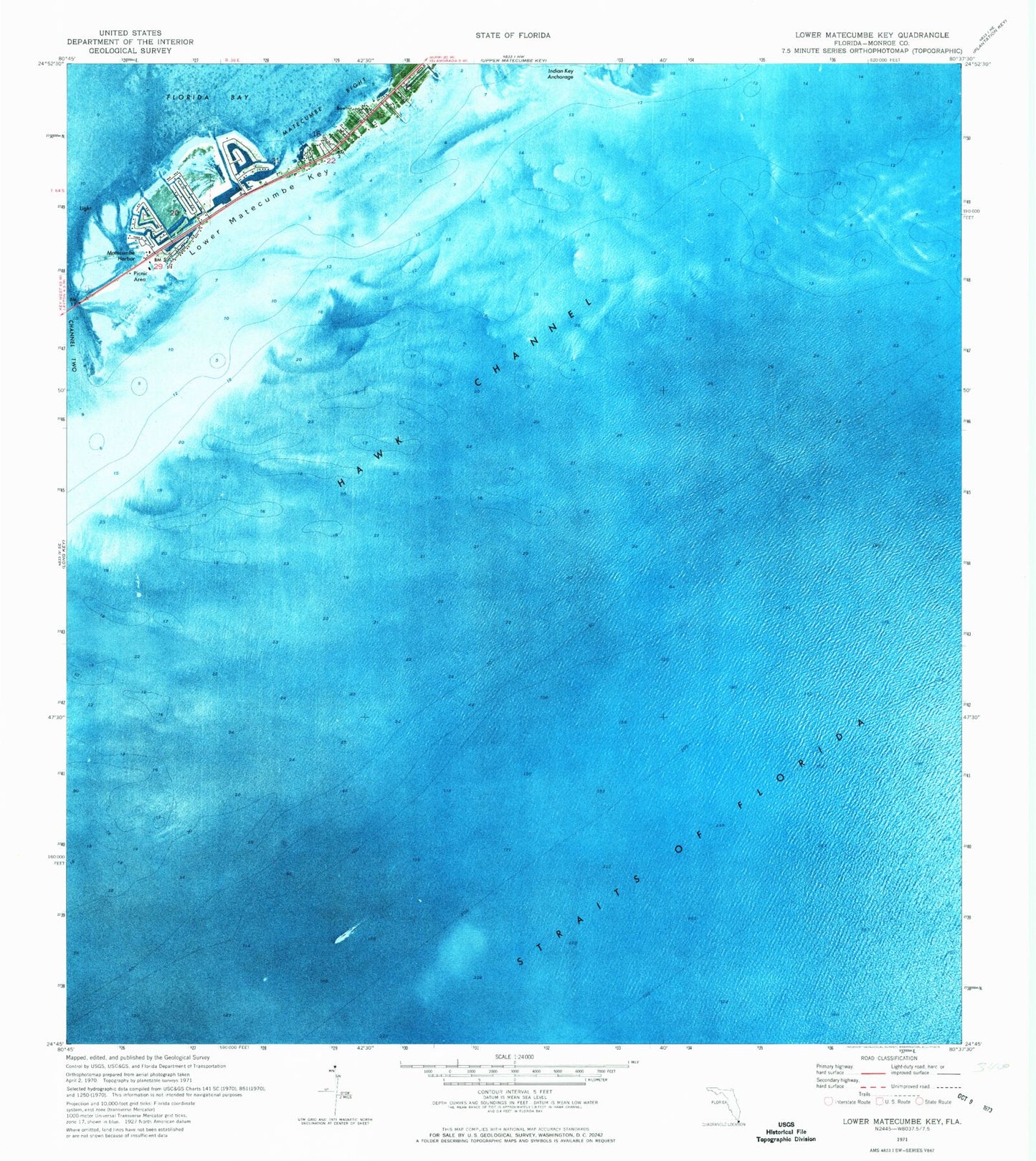
Classic USGS Lower Matecumbe Key Florida 7.5'x7.5' Topo Map
Couldn't load pickup availability
Historical USGS topographic quad map of Lower Matecumbe Key in the state of Florida. Map scale may vary for some years, but is generally around 1:24,000. Print size is approximately 24" x 27"
This quadrangle is in the following counties: Monroe.
The map contains contour lines, roads, rivers, towns, and lakes. Printed on high-quality waterproof paper with UV fade-resistant inks, and shipped rolled.
Contains the following named places: Indian Key Anchorage, Islamorada Fire Department Station 19, Lower Matecumbe Beach, Lower Matecumbe Key, Matecumbe Bight, Matecumbe Harbor, Matecumbe Keys, San Pedro Catholic Church, San Pedro State Underwater Archaelogical Preserve State Park, South Islamorada Underwater Coral Gardens, Veterans Key