MyTopo
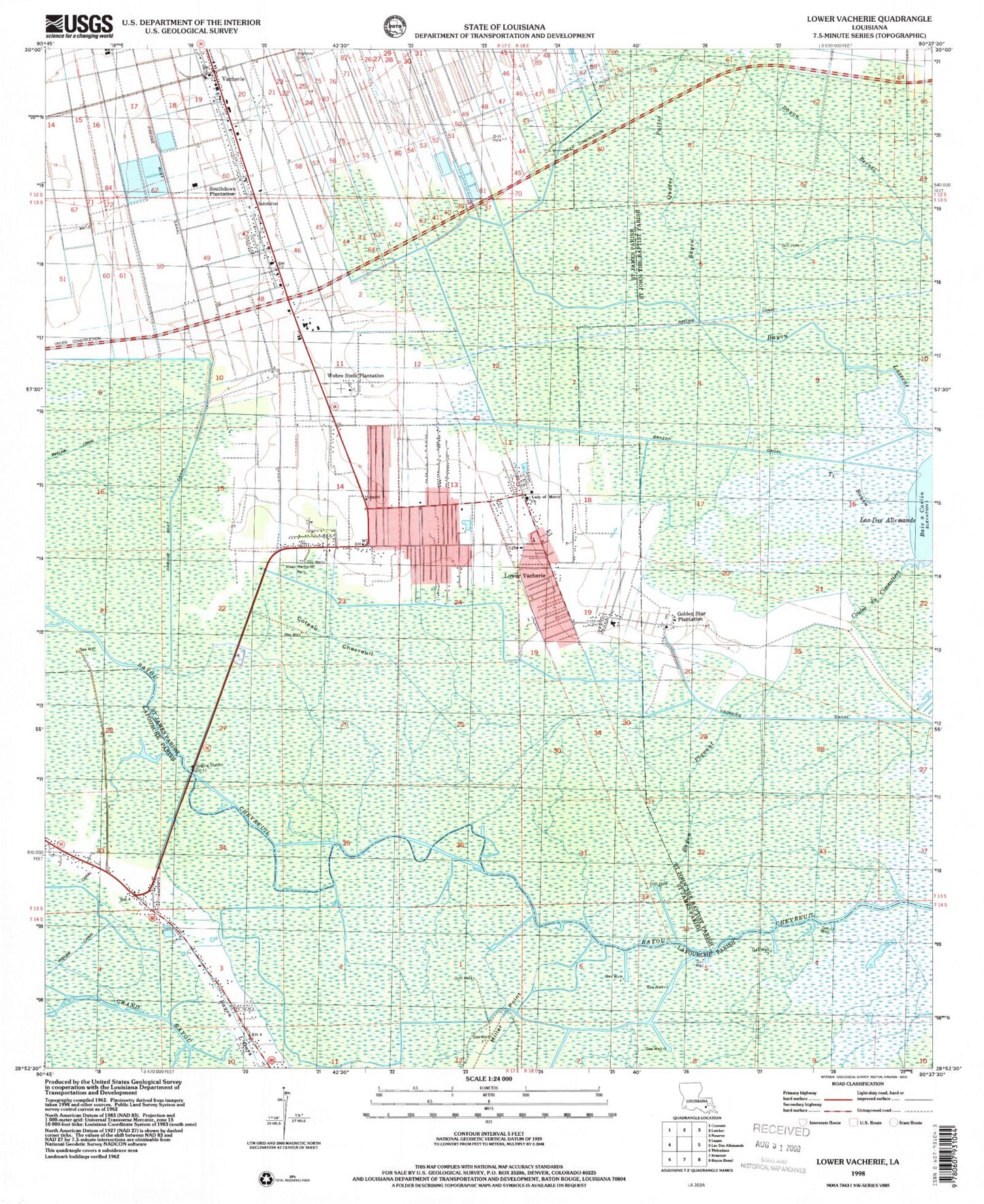
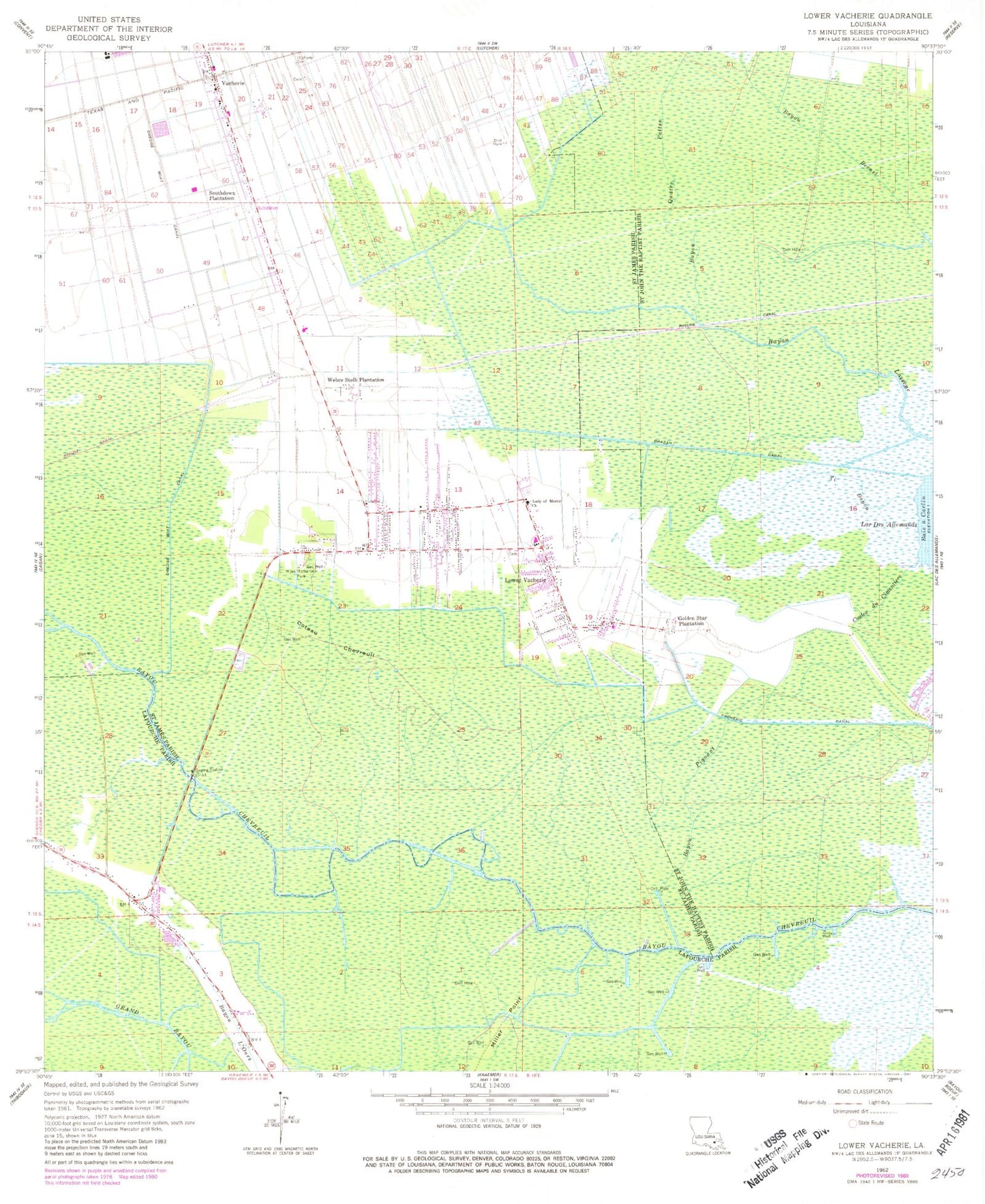
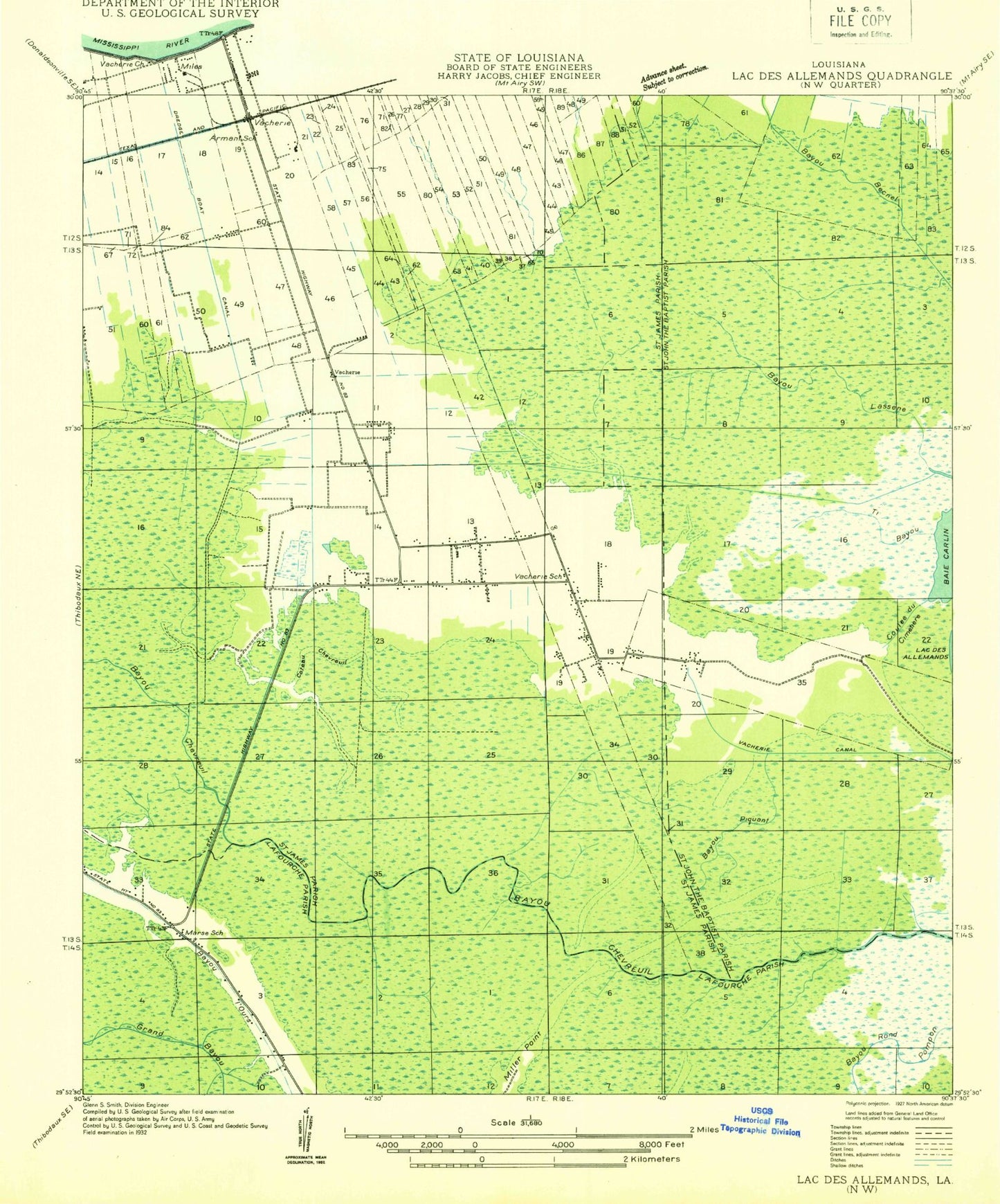
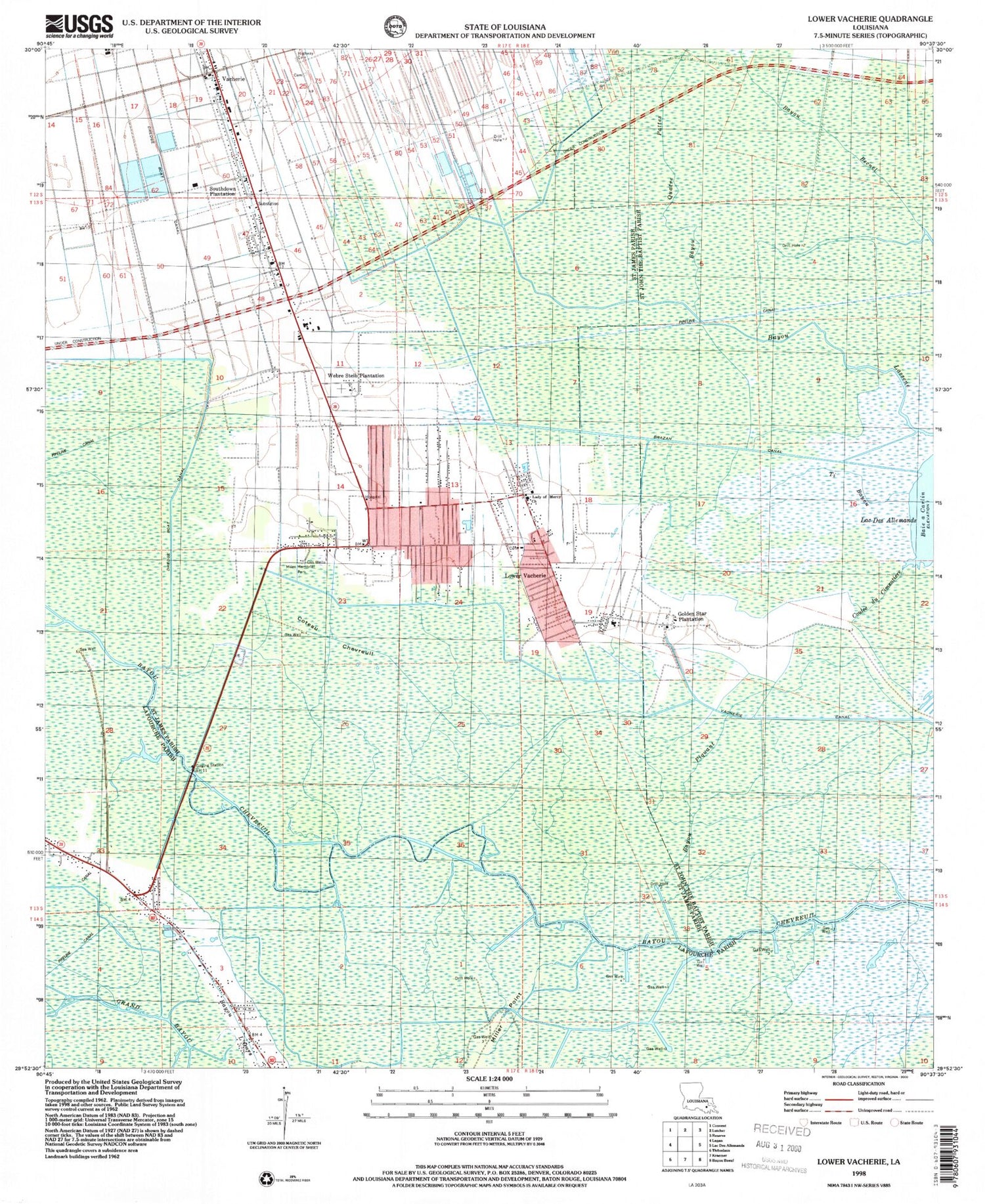
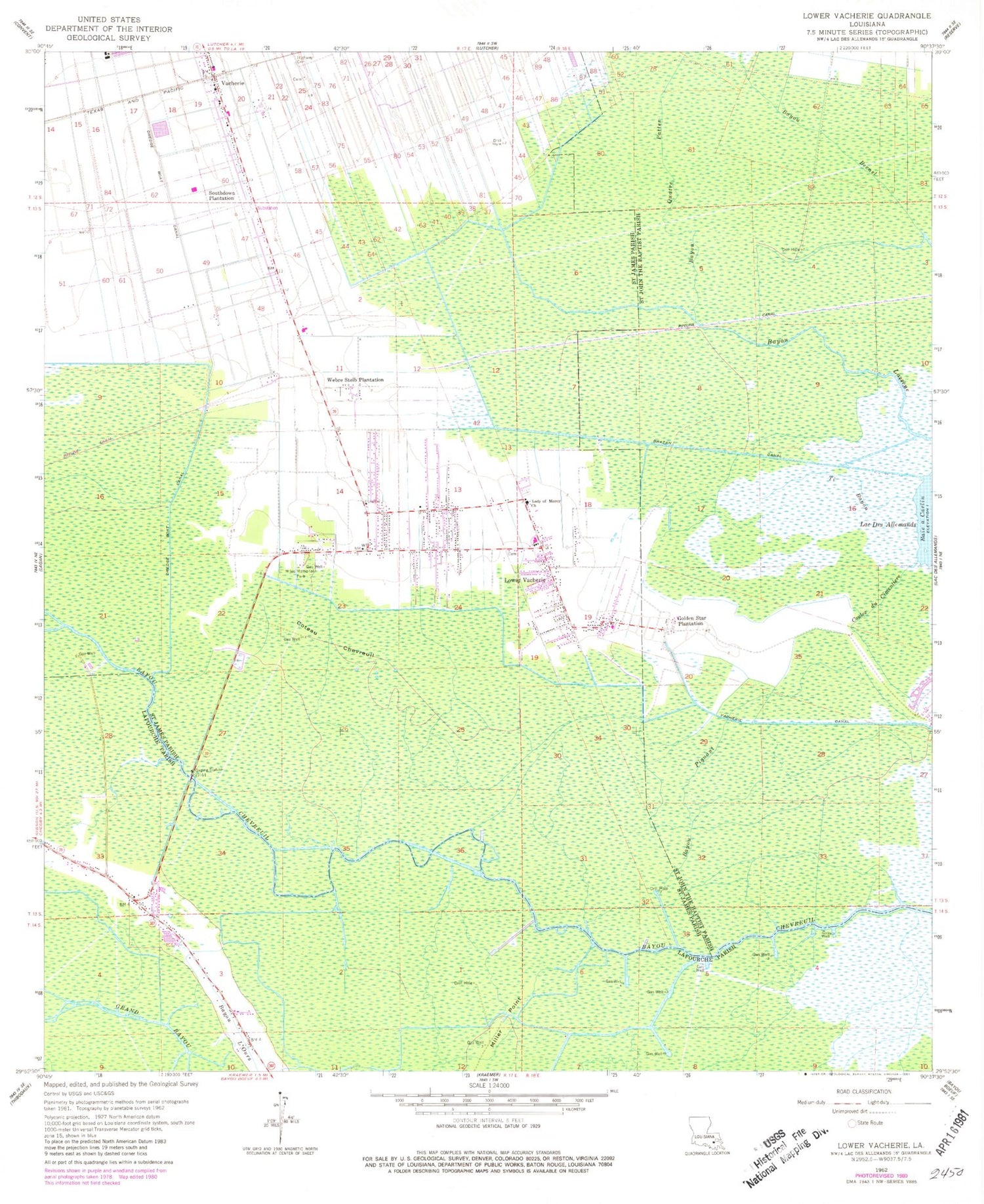
Classic USGS Lower Vacherie Louisiana 7.5'x7.5' Topo Map
Couldn't load pickup availability
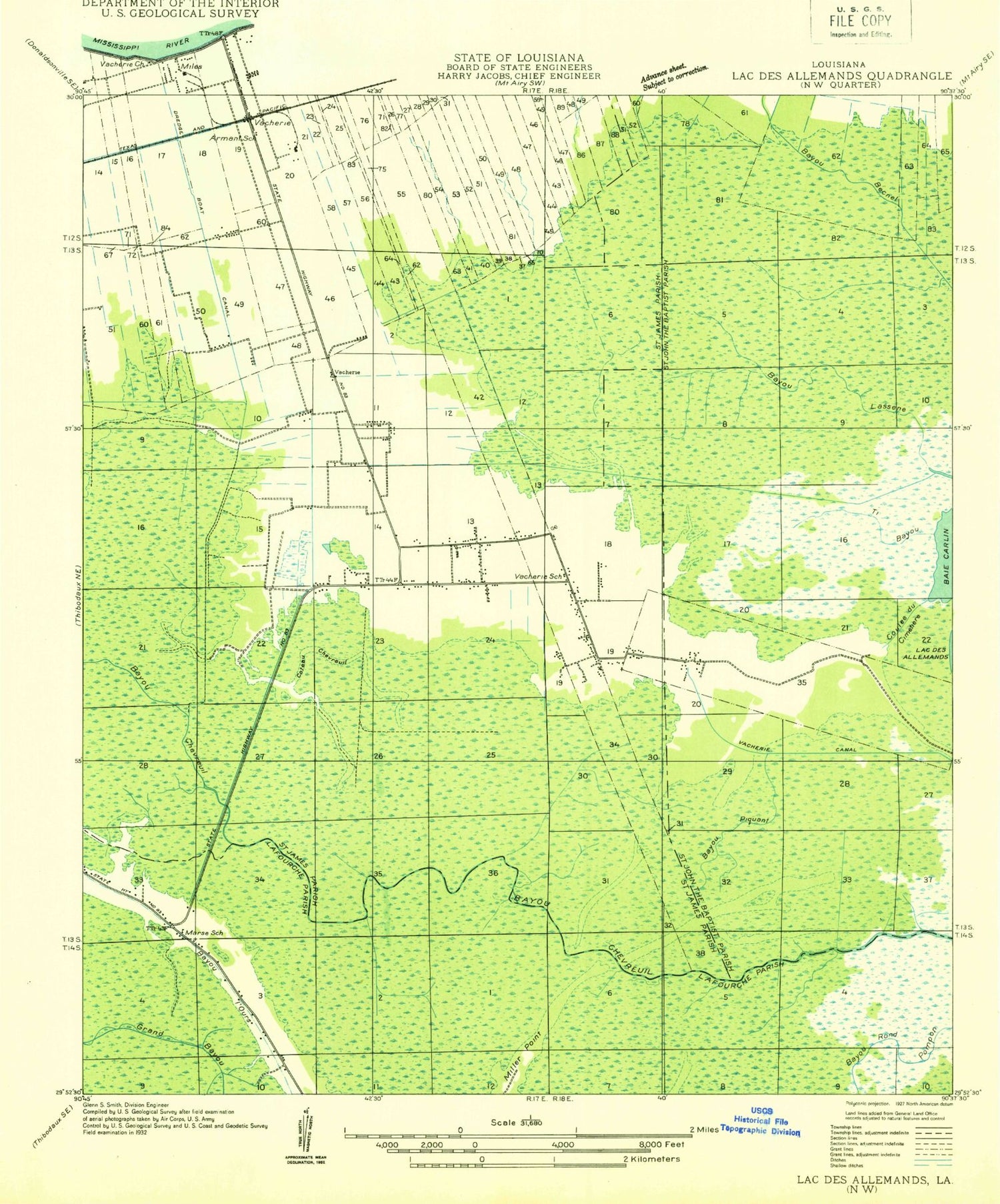
Historical USGS topographic quad map of Lower Vacherie in the state of Louisiana. Map scale may vary for some years, but is generally around 1:24,000. Print size is approximately 24" x 27"
This quadrangle is in the following counties: Lafourche, St. James, St. John the Baptist.
The map contains contour lines, roads, rivers, towns, and lakes. Printed on high-quality waterproof paper with UV fade-resistant inks, and shipped rolled.
Contains the following named places: Armant, Bayou Chevreuil Gas Field, Bayou Piquant, Bayou Quatre Pattes, Brazan Canal, Citamon Bayou Gas Field, Coteau Chevreuil, Coulee du Cimentiere, Golden Star Plantation, Greater Second Baptist Church, Highway Baptist Church Cemetery, KHOM-FM (Houma), Lady of Mercy Church, Life Tabernacle Church, Lower Vacherie, Lower Vacherie Gas Field, Miles Memorial Park, Miller Point, New Creation Life Changing Ministry, New Hope International Ministries, New Horizon Missionary Baptist Church, North Vacherie, Parish Governing Authority District 6, Parish Governing Authority District 7, Pleasure Bend Census Designated Place, Saint James Parish Library Vacherie Branch, Saint James Parish Sheriff's Office, South Vacherie, South Vacherie Census Designated Place, South Vacherie Volunteer Fire Department Station 1, South Vacherie Volunteer Fire Department Station 2, Southdown Plantation, Ti Bayou, Vacherie Canal, Vacherie Day Developmental Training Center, Vacherie Elementary School, Vacherie Primary School, Victory Assembly of God Church, Ward Seven, Ward Six, Ward Three, WCKW-FM (Laplace), Webre Steib Plantation, ZIP Code: 70090
