MyTopo
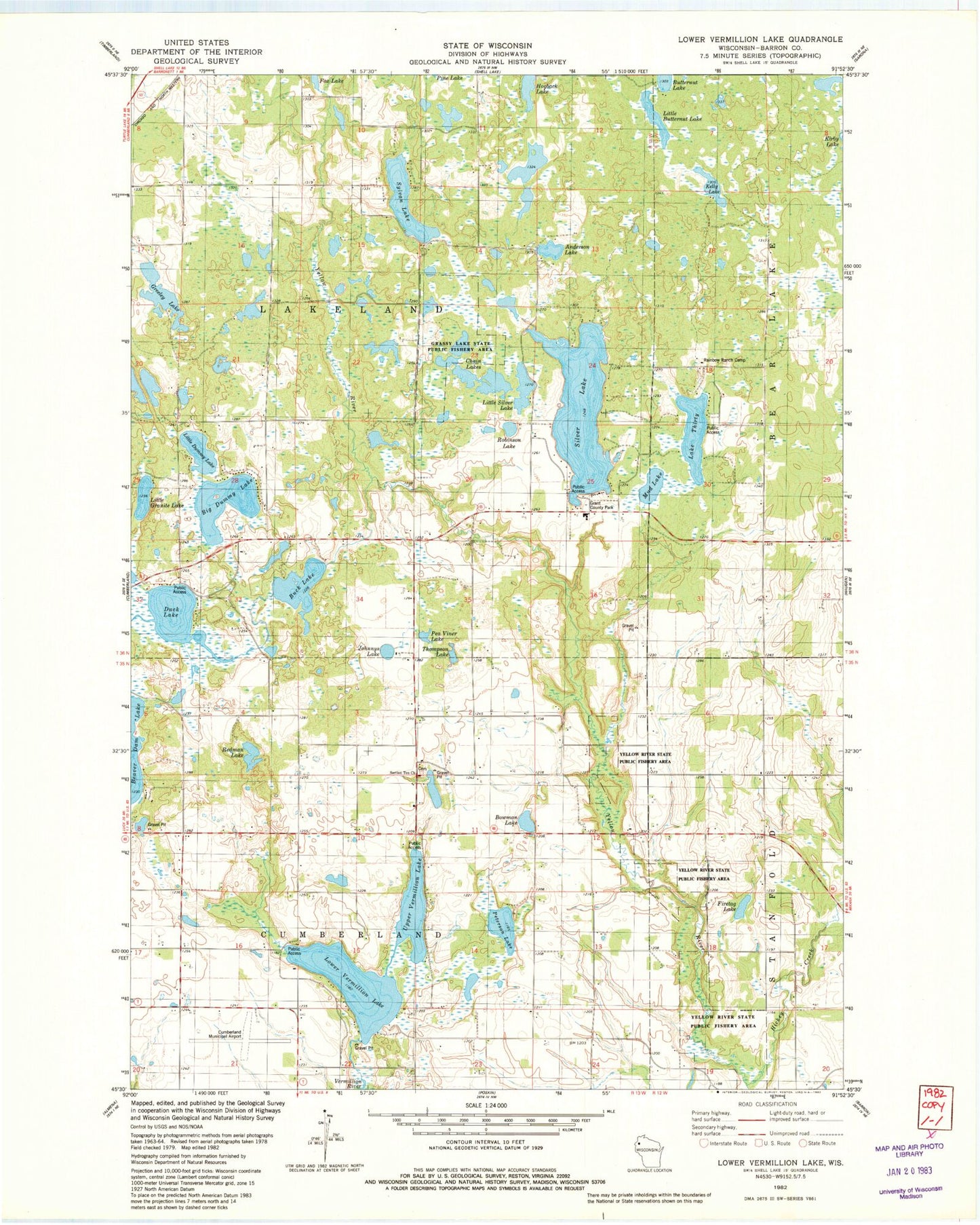
Classic USGS Lower Vermillion Lake Wisconsin 7.5'x7.5' Topo Map
Couldn't load pickup availability
Historical USGS topographic quad map of Lower Vermillion Lake in the state of Wisconsin. Map scale may vary for some years, but is generally around 1:24,000. Print size is approximately 24" x 27"
This quadrangle is in the following counties: Barron.
The map contains contour lines, roads, rivers, towns, and lakes. Printed on high-quality waterproof paper with UV fade-resistant inks, and shipped rolled.
Contains the following named places: Anderson Lake, Big Dummy Lake, Bowman Lake, Buck Lake, Chain Lakes, Cumberland Municipal Airport, Duck Lake, East Cumberland Cemetery, Firetag Lake, Grant County Park, Grant Park, Grassy Lake State Public Fishery Area, Greeley Lake, Hickey Creek, Hogback Lake, Johnnys Lake, Kelly Lake, Lake Thirty, Little Butternut Lake, Little Dummy Lake, Little Granite Lake, Little Silver Lake, Lower Vermillion Lake, Mud Lake, Pea Viner Lake, Peterson Lake, Rainbow Ranch Camp, Redman Lake, Robinson Lake, Section Ten Lutheran Church, Section Ten School, Silver Lake, Sylvan Lake, Thompson Lake, Town of Cumberland, Town of Lakeland, Upper Vermillion Lake, Yellow River State Public Fishery Area


