MyTopo
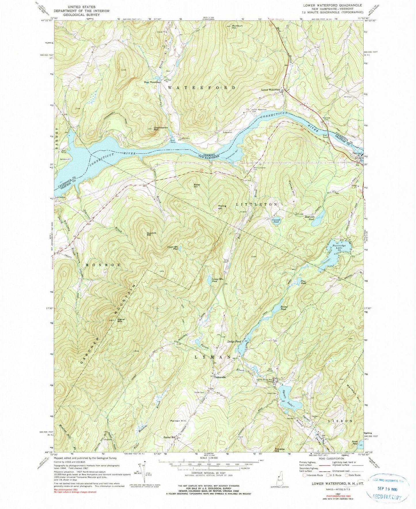
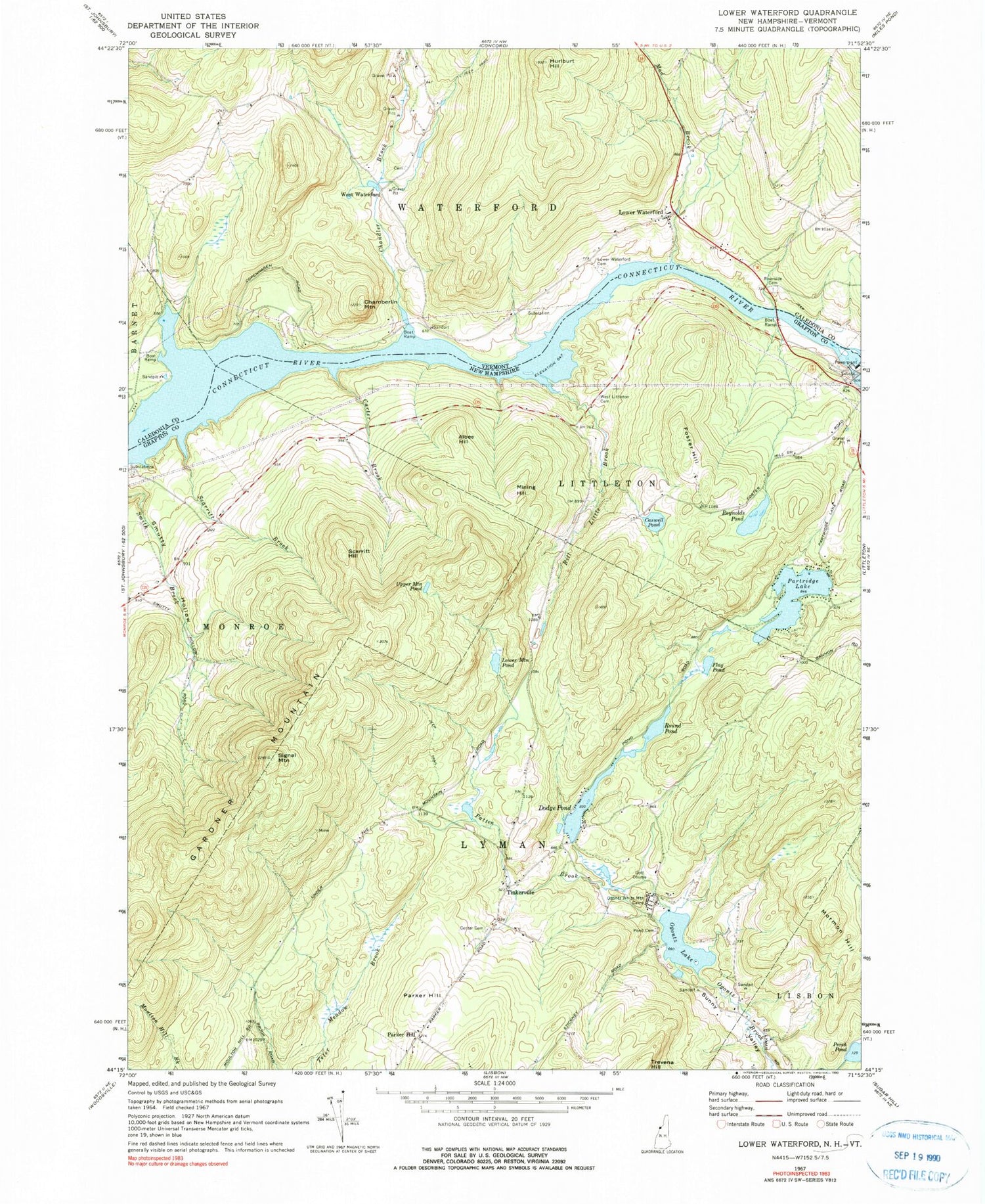
Classic USGS Lower Waterford Vermont 7.5'x7.5' Topo Map
Couldn't load pickup availability
Historical USGS topographic quad map of Lower Waterford in the states of Vermont, New Hampshire. Typical map scale is 1:24,000, but may vary for certain years, if available. Print size: 24" x 27"
This quadrangle is in the following counties: Caledonia, Grafton.
The map contains contour lines, roads, rivers, towns, and lakes. Printed on high-quality waterproof paper with UV fade-resistant inks, and shipped rolled.
Contains the following named places: Chamberlin Mountain, Chandler Brook, Hurtburt Hill, Lower Waterford, Lower Waterford Cemetery, Mad Brook, Riverside Cemetery, West Waterford, Connecticut River Reservoir, Hill School (historical), Lower Waterford Post Office, Albee Hill, Bill Little Brook, Carter Brook, Caswell Pond, Dodge Pond, Flag Pond, Foster Hill, Gardner Mountain, Lower Mountain Pond, Mining Hill, Mormon Hill, Ogontz Lake, Ogontz White Mountain Camp, Parker Hill, Parker Hill, Partridge Lake, Patten Brook, Perch Pond, Pond Cemetery, Reynolds Pond, Round Pond, Scarritt Brook, Scarritt Hill, Signal Mountain, Tinkerville, Upper Mountain Pond, West Littleton Cemetery, Town of Lyman, Dodge Pond Dam, North Monroe School (historical), Monroe Fire Department Station 2


