MyTopo
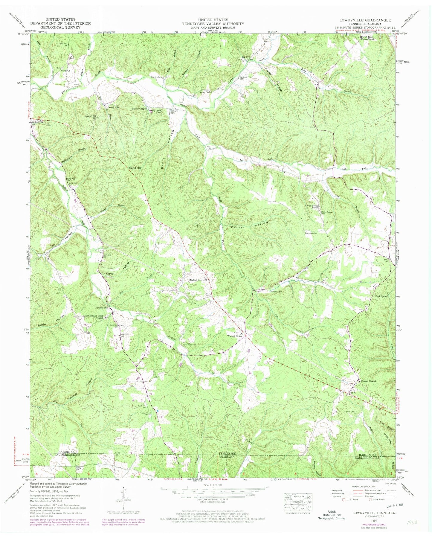
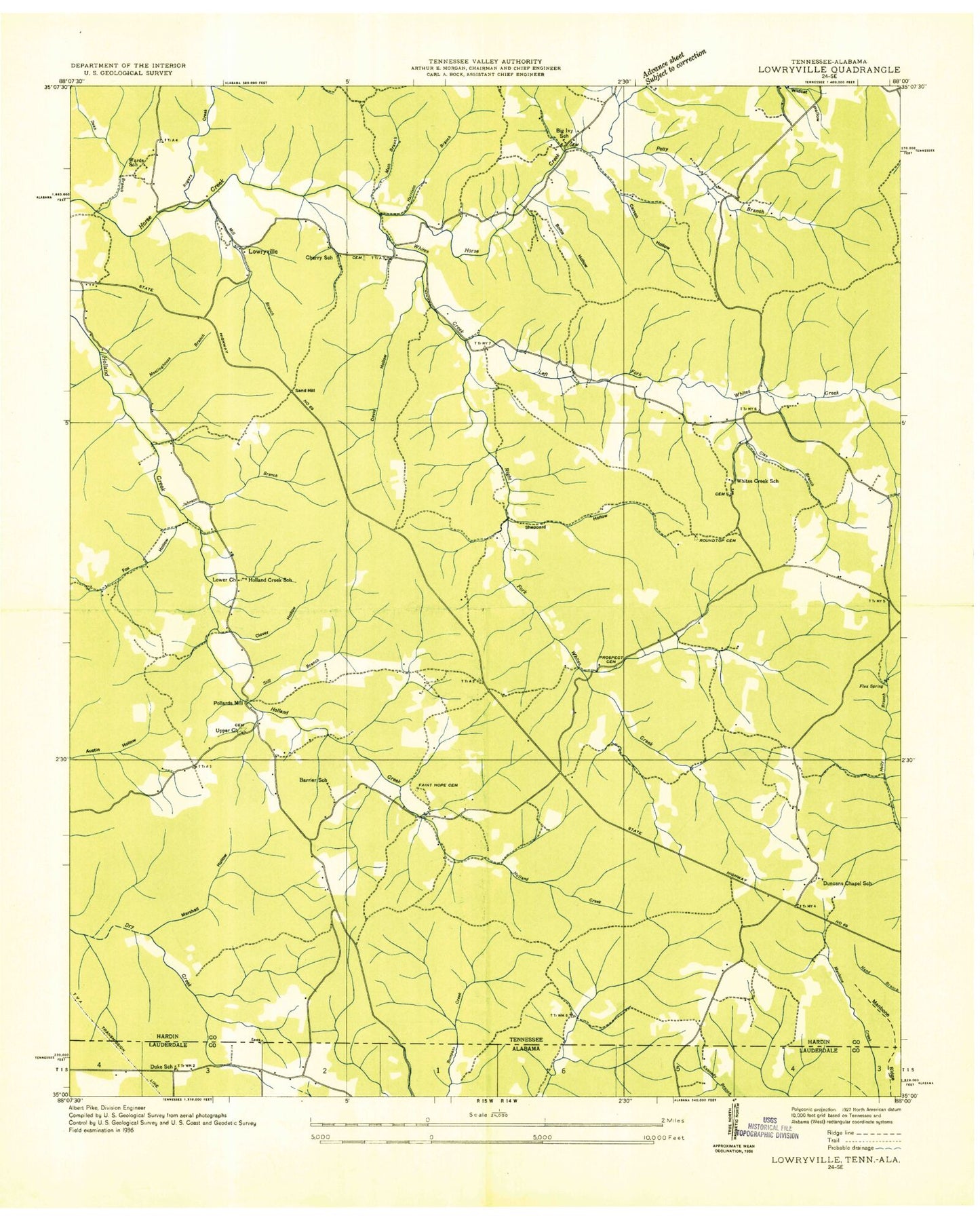
Classic USGS Lowryville Tennessee 7.5'x7.5' Topo Map
Couldn't load pickup availability
Historical USGS topographic quad map of Lowryville in the states of Tennessee, Alabama. Map scale may vary for some years, but is generally around 1:24,000. Print size is approximately 24" x 27"
This quadrangle is in the following counties: Hardin, Lauderdale.
The map contains contour lines, roads, rivers, towns, and lakes. Printed on high-quality waterproof paper with UV fade-resistant inks, and shipped rolled.
Contains the following named places: Barrier School, Big Ivy, Big Ivy Cemetery, Boltie Hollow, Brown Cemetery, Cantrell-Johnson Cemetery, Cave Hollow Cemetery, Cherry Cemetery, Cherry Chapel, Cherry Chapel Cemetery, Cherry School, Church Cemetery, Clack Spring, Clay Branch, Clover Hollow, Commissioner District 7, Cossey Cemetery, Davis Hollow, Dean Branch, District 7, Duke School, Duncan Chapel, Duncans Chapel School, Faint Hope Cemetery, Fielder Cemetery, Forest Ridge Union Church, Fox Hollow, Franks Store Cemetery, Frazier Hollow, Hardin County Fire Department / Emergency Management District 11 Station 1, Harrison Branch, Holland Creek School, Hollands Creek Cemetery, Holly Branch, Johnson Branch, Jones Store, Left Fork Whites Creek, Lower Church, Lowryville, Marshall Hollow, Math Branch, Meetinghouse Branch, Mill Branch, Parker Hollow, Petty Branch, Petty Branch Cemetery, Pollards Mill, Porter Cemetery, Prospect Cemetery, Right Fork Whites Creek, Rogers Creek, Roundtop Cemetery, Roundtop Church, Russell Cemetery, Sand Hill, Still Branch, Stricklin Cemetery, Upper Holland Creek Church, Walnut Grove, Walnut Grove Cemetery, Walnut Grove Census Designated Place, Walnut Grove Church, Walnut Grove Elementary School, Wards Cemetery, Wards Church, Wards School, Weatherford Cemetery, Whites Creek, Whites Creek Cemetery, Whites Creek Church, Whites Creek School


