MyTopo
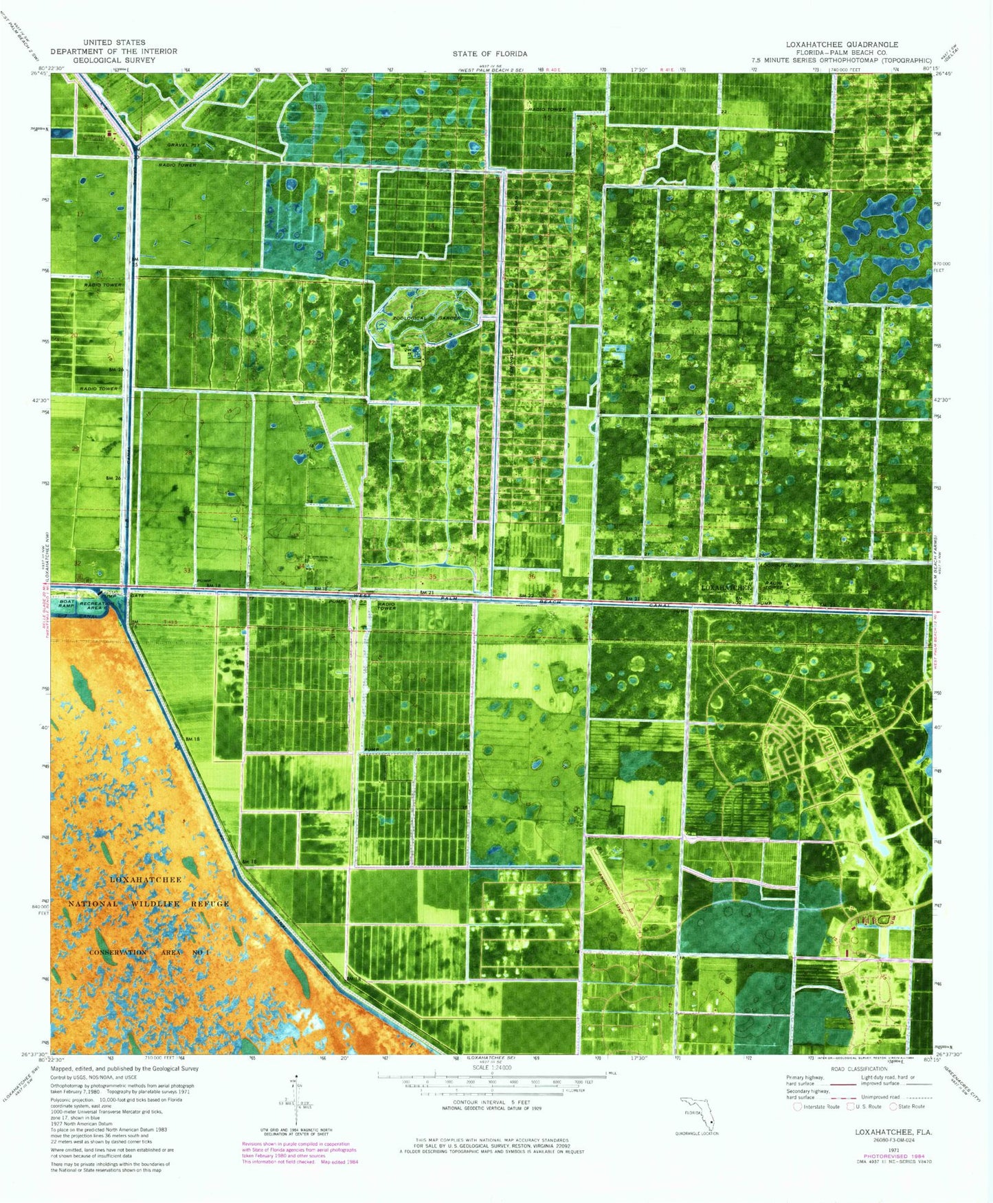
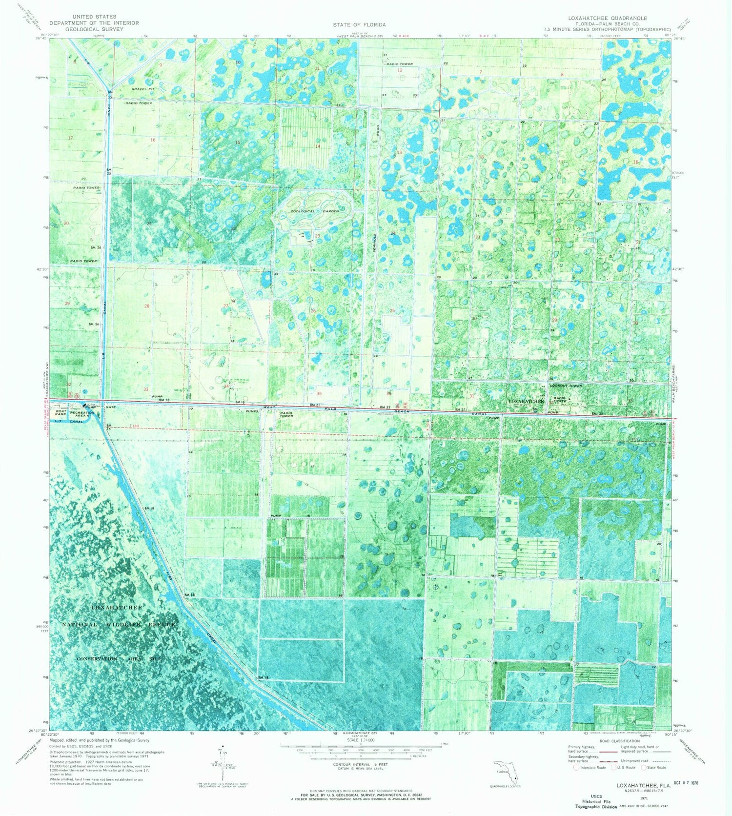
Classic USGS Loxahatchee Florida 7.5'x7.5' Topo Map
Couldn't load pickup availability
Historical USGS topographic quad map of Loxahatchee in the state of Florida. Map scale may vary for some years, but is generally around 1:24,000. Print size is approximately 24" x 27"
This quadrangle is in the following counties: Palm Beach.
The map contains contour lines, roads, rivers, towns, and lakes. Printed on high-quality waterproof paper with UV fade-resistant inks, and shipped rolled.
Contains the following named places: Binks Forest Elementary School, Fire Station Number 21, Fire Station Number 27, Loxahatchee Groves, Loxahatchee Groves Elementary School, Loxahatchee Post Office, New Horizons Elementary School, Palm Beach County Fire Rescue Station 20, Palm Beach County Fire Rescue Station 21, Palm Beach County Fire Rescue Station 27, Palm Beach County Sheriff's Office District 8, Palms West Hospital, Palms West Hospital Helistop, Recreation Area Six, Sunsport Gardens Mobile Home Park, Town of Loxahatchee Groves, Village of Wellington, Wellington Aero Club Airport, Wellington Country Club, Wellington Elementary School, Wellington High School, Wellington Landings Middle School, West Bay Club, West End Golf Club, West Meadows Golf Club, Western Pines Community Middle School, WoeQ-AM (Royal Palm Beach), ZIP Code: 33470