MyTopo
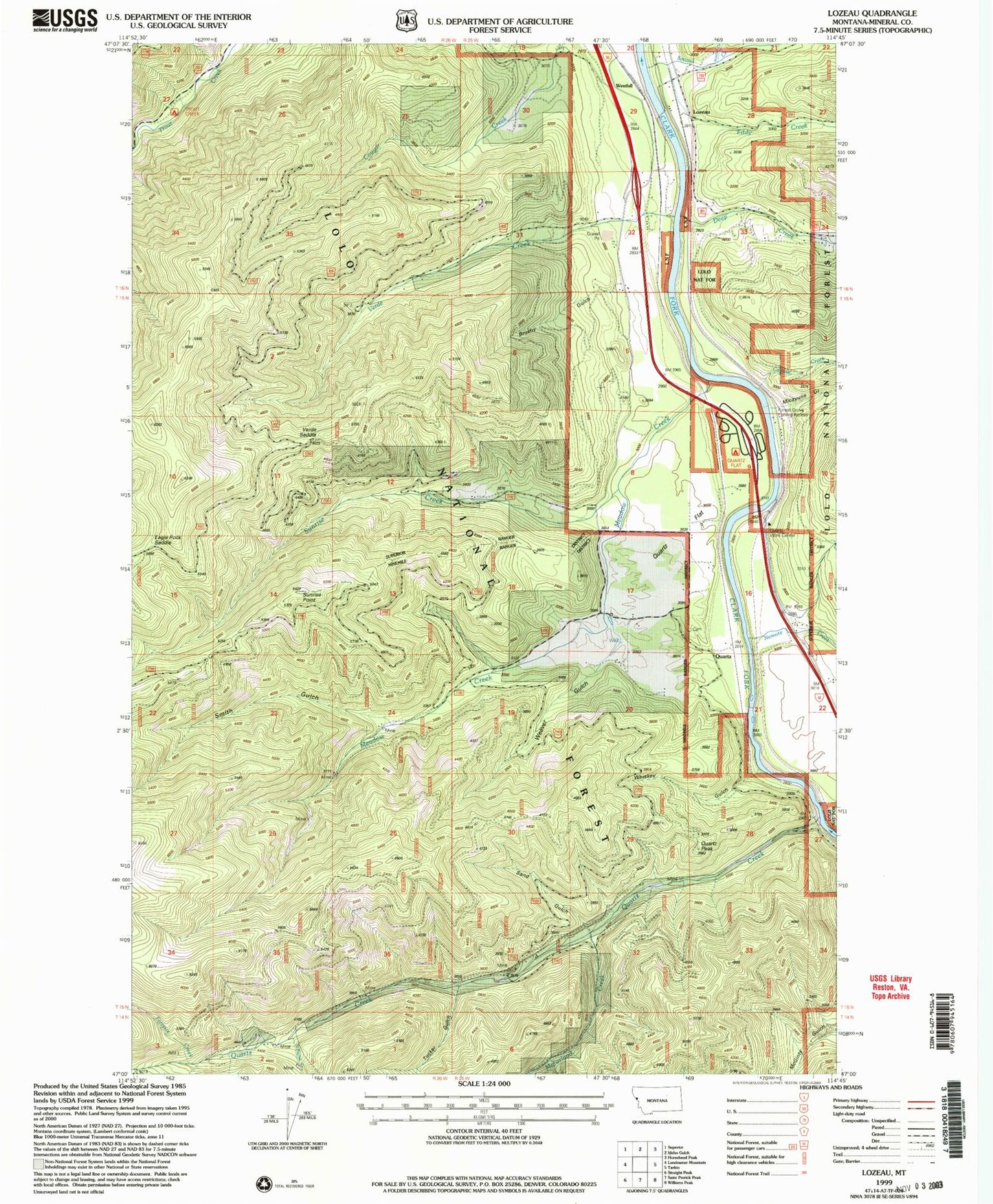
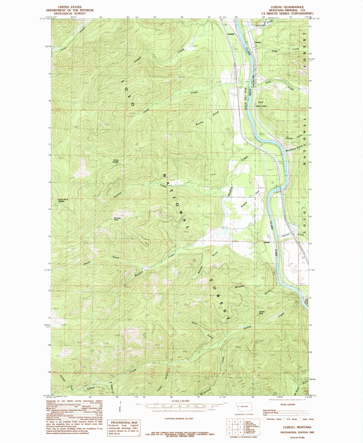
Classic USGS Lozeau Montana 7.5'x7.5' Topo Map
Couldn't load pickup availability
Historical USGS topographic quad map of Lozeau in the state of Montana. Map scale may vary for some years, but is generally around 1:24,000. Print size is approximately 24" x 27"
This quadrangle is in the following counties: Mineral.
The map contains contour lines, roads, rivers, towns, and lakes. Printed on high-quality waterproof paper with UV fade-resistant inks, and shipped rolled.
Contains the following named places: Bluff City, Brushy Gulch, Cayuse Creek, Cobden, Cobden School, Crescent City, Deep Creek, Eagle Rock Saddle, Eddy Creek, Forest Grove Fishing Access Site, Fortysix Creek, Iron Mountain Mine Historical Marker, Joe Doris Mine, Louisiana Gulch, Lozeau, Lozeau Post Office, Lucky 7 Mine, Magone Mountain, McFarland Creek, Meadow Creek, Micayune Gulch, Nellie Creek, Nemote Creek, Purtle, Quartz, Quartz Cemetery, Quartz Creek, Quartz Creek Mine, Quartz Fishing Access Site, Quartz Flat, Quartz Flat Campground, Quartz Flats Rest Area, Quartz Guard Station, Quartz Peak, Quartz Post Office, Quartz School, Saint Patrick Creek, Sand Gulch, Second Creek, Smith Gulch, Sunrise Creek, Sunrise Point, Texas Bar, Triangle Mine, Trout Creek Campground, Tucker Gulch, Verde Creek, Verde Saddle, Weaver Gulch, Westfall, Westfall Creek, Westfall School, Whiskey Gulch, Wingo Mine, X-Ray Vision Mine


