MyTopo
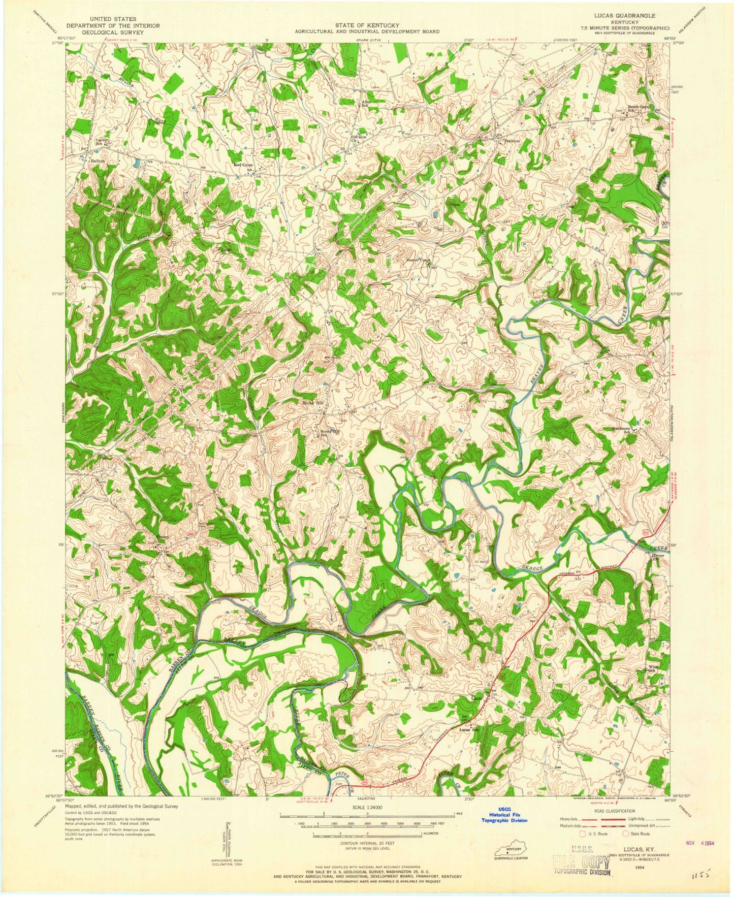
Classic USGS Lucas Kentucky 7.5'x7.5' Topo Map
Couldn't load pickup availability
Historical USGS topographic quad map of Lucas in the state of Kentucky. Typical map scale is 1:24,000, but may vary for certain years, if available. Print size: 24" x 27"
This quadrangle is in the following counties: Allen, Barren.
The map contains contour lines, roads, rivers, towns, and lakes. Printed on high-quality waterproof paper with UV fade-resistant inks, and shipped rolled.
Contains the following named places: Beach Grove Church, Beaver Creek, Beaver Creek Church, Beckton, Cooks Creek, Coon Creek, Finney, Hanging Fork Church, Henderson Cemetery, Lucas, Old Zion Church, Peter Creek, Railton, Red Cross School, Shiloh Church, Skaggs Creek, The Narrows, The Narrows Boat Ramp, Red Cross, Rocky Hill, Baileys Point Boat Ramp, Beaver Creek Boat Ramp, Peninsula Boat Ramp, Allen Cemetery Number 5, Rocky Hill Division, South Barren Fire Department, South Barren Fire Department - Substation, Settles Rifles Historical Marker


