MyTopo
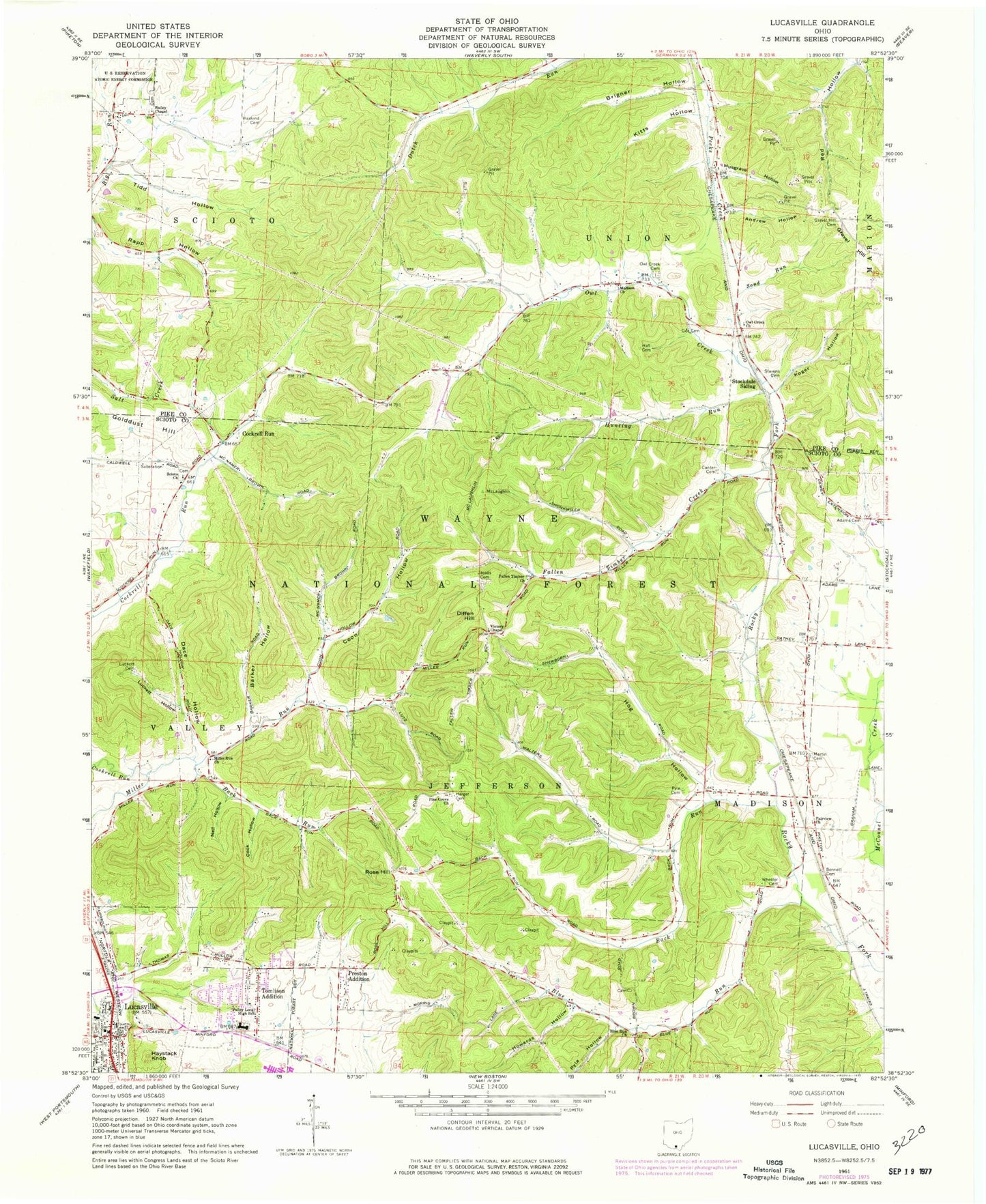
Classic USGS Lucasville Ohio 7.5'x7.5' Topo Map
Couldn't load pickup availability
Historical USGS topographic quad map of Lucasville in the state of Ohio. Map scale may vary for some years, but is generally around 1:24,000. Print size is approximately 24" x 27"
This quadrangle is in the following counties: Pike, Scioto.
The map contains contour lines, roads, rivers, towns, and lakes. Printed on high-quality waterproof paper with UV fade-resistant inks, and shipped rolled.
Contains the following named places: Adams Cemetery, Adams School, Andrew Hollow, Back Run, Bailey Chapel, Bailey Chapel Cemetery, Barker Hollow, Bennett Cemetery, Blue Run, Blue Run Cemetery, Blue Run Church, Blue Run School, Brigner Hollow, Buck Run, Bull Run, Canter Cemetery, Cockrell Run, Cockrell School, Cook Hollow, Coon Hollow, County Line Siding, Dace Hollow, Diffen Hill, Fairview Church, Fairview School, Fallen Timber Church, Fallen Timber Creek, Fallen Timber School, Gee Cemetery, Gravel Hill, Gravel Hill Cemetery, Hall Cemetery, Harger Cemetery, Haskind Cemetery, Haystack Knob, Hockenberry Hollow, Hog Hollow, Howard Cemetery, Howards Hollow, Hunting Run, Jacobs Cemetery, Koger Hollow, Lucasville, Lucasville Cemetery, Lucasville Post Office, Luckett Cemetery, Luckett Hollow, Madison Church, Martin Cemetery, Miller Run Church, Miller Run School, Musgrave Hollow, Nail Hollow, New Scioto Cemetery, Owl Creek, Owl Creek Cemetery, Owl Creek Church, Pine Grove Church, Preston Addition, Pyle Cemetery, Pyle Hollow, Rose Hill, Sand Run, Scioto Ambulance District Squad 5, Scioto Church, Slavens Cemetery, Southern Ohio Correctional Facility, Stockdale Siding, Tidd Hollow, Tomlison Addition, Township of Jefferson, Township of Scioto, Township of Union, Township of Valley, Valley Elementary School, Valley Local High School, Valley School, Valley Township Volunteer Fire Department, Victory Chapel, Wheeler Cemetery


