
MyTopo
Classic USGS Lucre Mississippi 7.5'x7.5' Topo Map
Couldn't load pickup availability
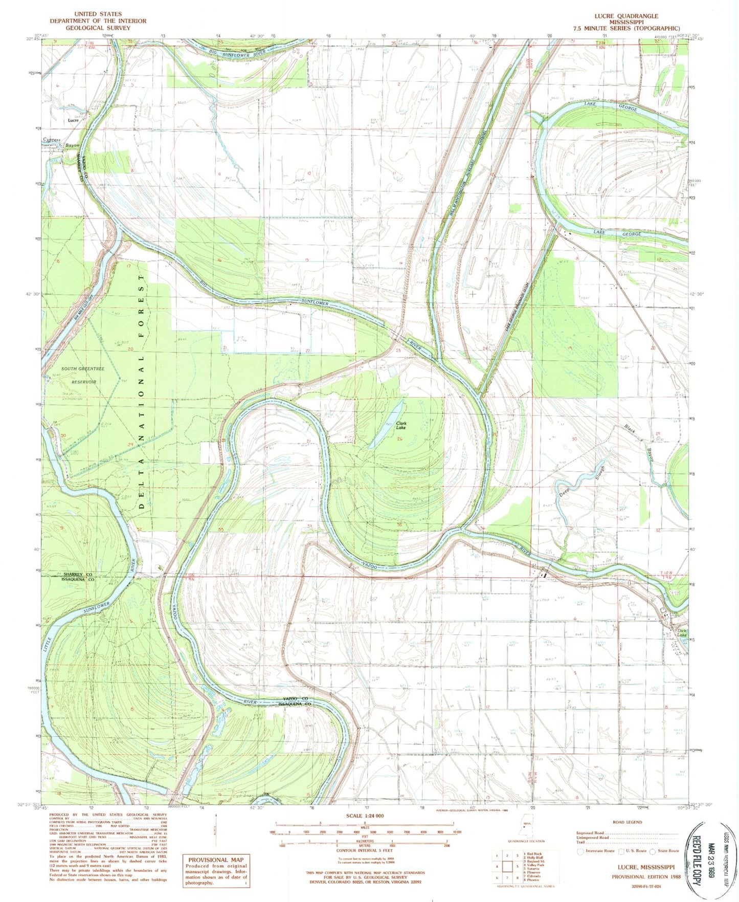
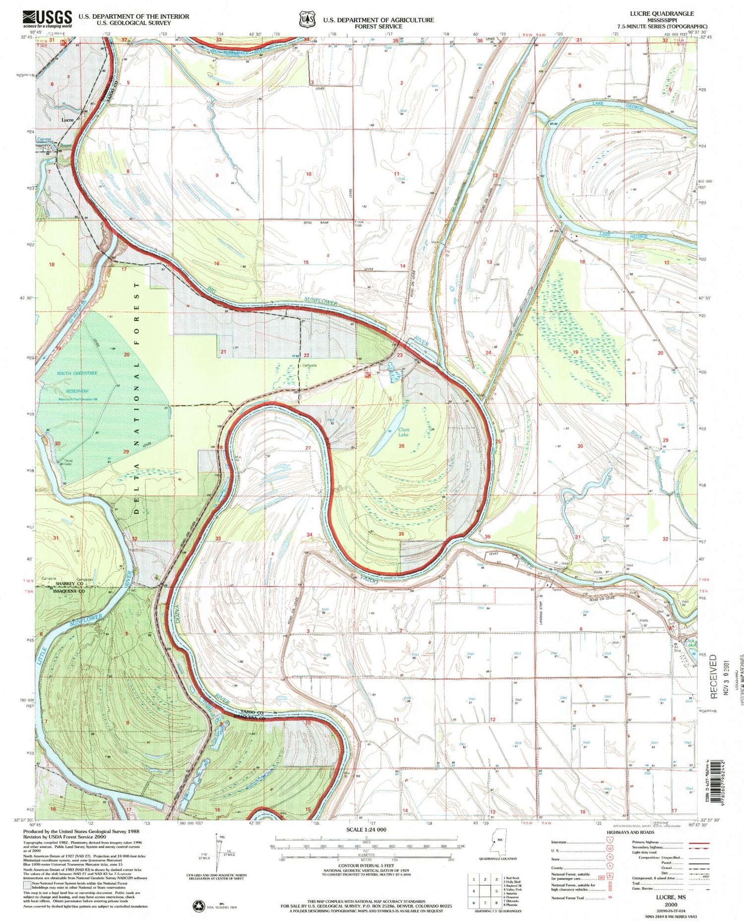
Historical USGS topographic quad map of Lucre in the state of Mississippi. Map scale may vary for some years, but is generally around 1:24,000. Print size is approximately 24" x 27"
This quadrangle is in the following counties: Issaquena, Sharkey, Yazoo.
The map contains contour lines, roads, rivers, towns, and lakes. Printed on high-quality waterproof paper with UV fade-resistant inks, and shipped rolled.
Contains the following named places: Belle Yazoo Plantation, Big Sunflower River, Black Bayou, Clark Lake, Cypress Bayou, Deep Slough, Ellwood Landing, Fairview Landing, Fairview Plantation, Harworth, Horn Place Landing, Kansas Landing, Lake George Drainage Ditch, Leats Landing, Little Sunflower Landing, Little Sunflower River, Lucre, Madisons Woodyard Landing, Miller Landing, Nelsons Place Landing, Pilgrim Rest Church, Pleasant Home Landing, Ryans L'Argent Landing, Shell Mound Landing, Six Mile Cut-Off, South Greentree Reservoir, Spanish Fort Landing, Trucks Woodyard Landing, Yazoo Backwater Levee, Yucatan Plantation