MyTopo
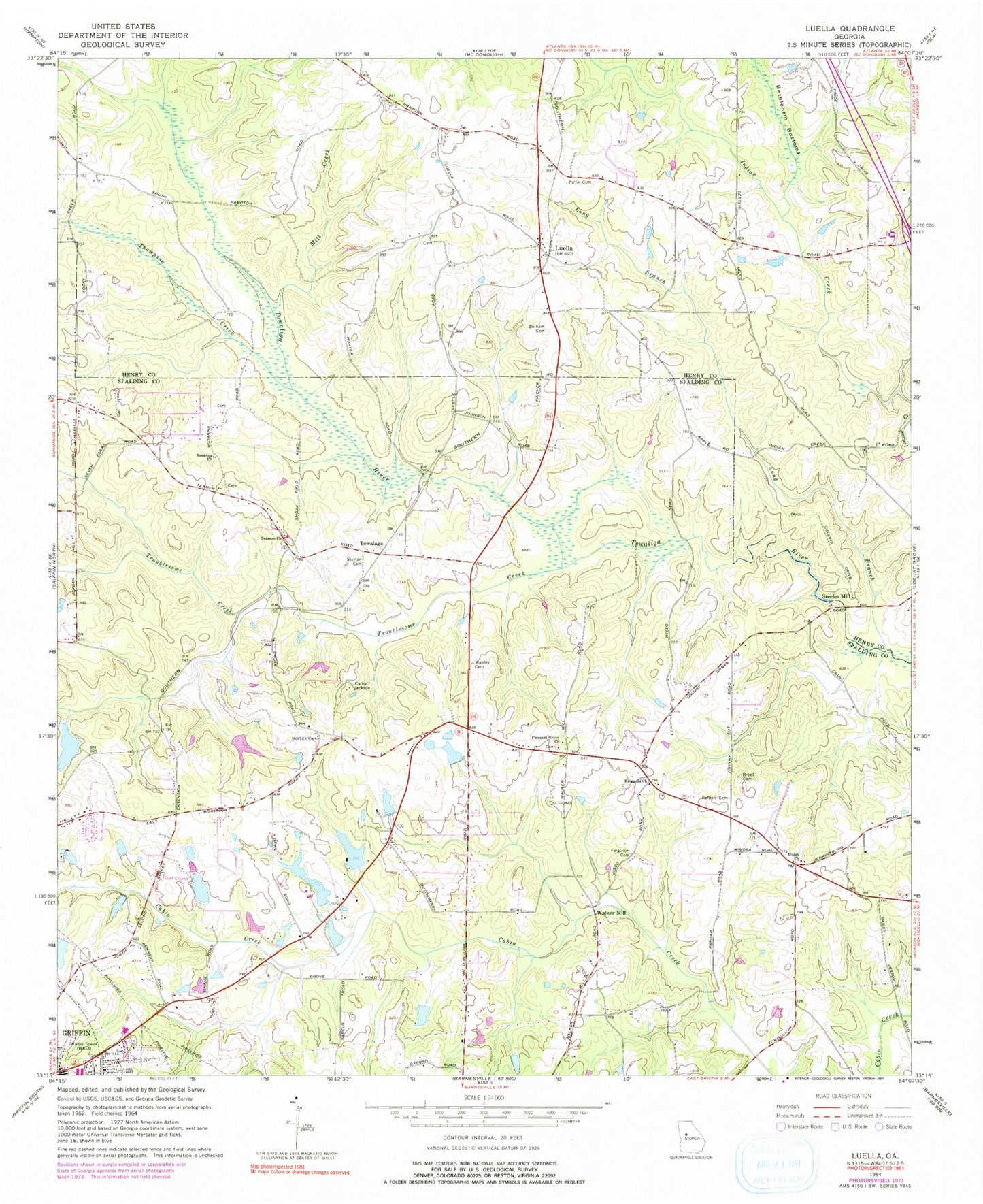
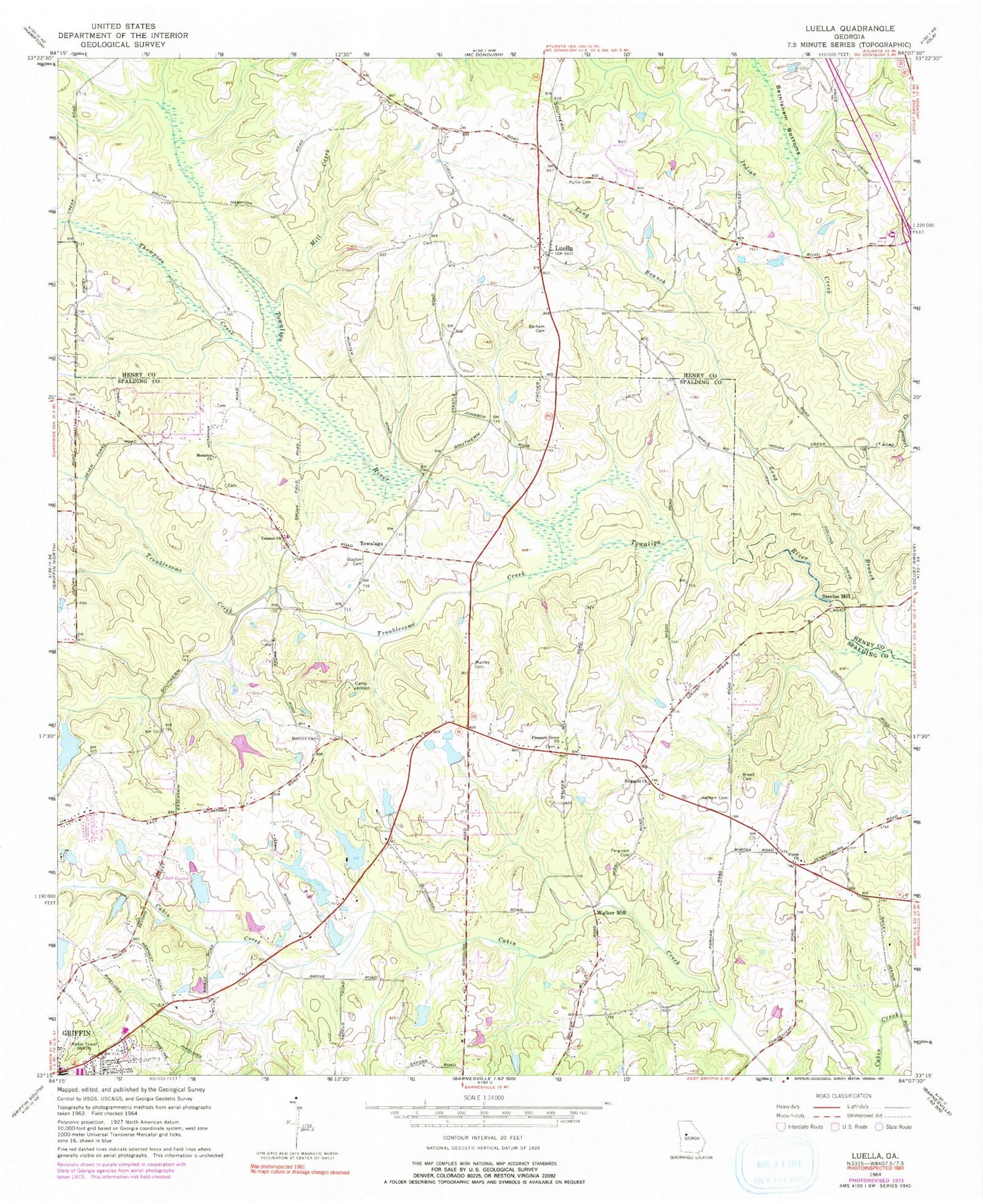
Classic USGS Luella Georgia 7.5'x7.5' Topo Map
Couldn't load pickup availability
Historical USGS topographic quad map of Luella in the state of Georgia. Map scale may vary for some years, but is generally around 1:24,000. Print size is approximately 24" x 27"
This quadrangle is in the following counties: Henry, Spalding.
The map contains contour lines, roads, rivers, towns, and lakes. Printed on high-quality waterproof paper with UV fade-resistant inks, and shipped rolled.
Contains the following named places: Barham Cemetery, Bostick Cemetery, Breed Cemetery, Cabin Creek Golf Course, Camp Jackson, Chigger Hill Airport, Christ our Savior Lutheran Church, Dougherty Lake, Dougherty Lake Dam, Dundee Lake, Dundee Lake Dam, Ferguson Cemetery, Heron Bay Census Designated Place, Heron Bay Golf & Country Club, Holders Field, Horton Lake, Horton Lake Dam, Hosama Church, Jackson Road Elementary School, Kennedy Road Middle School, Long Branch, Luella, Luella Baptist Church, Luella Middle School, Mallards Landing, Manley Cemetery, McDonough Road Baptist Church, Mill Creek, Mize Lake, Mize Lake Dam, Mount Calvary Church, Parham Cemetery, Parks Lake, Parks Lake Dam, Pleasant Grove, Pleasant Grove Church, Pullin Cemetery, Regents Lake, Regents Lake Dam, Ringgold Church, Ringold Church Cemetery, Shappard Lake, Shappard Lake Dam, Sharon Baptist Church, Slayton Cemetery, Spalding County Fire Department Station 3, Steeles Mill, Strong Rock Christian School, Teamon Church, Thompson Creek, Towalaga, Towalaga Division, Troublesome Creek, Union Church, Upper Towaliga Reservoir, Walker Mill, Williams Lake, Williams Lake Dam, Wolf Creek Baptist Church


