MyTopo
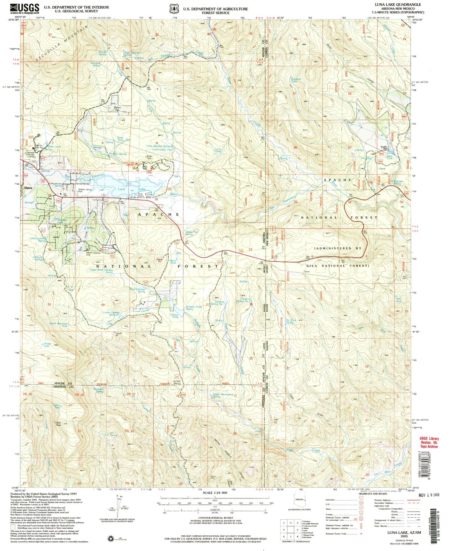
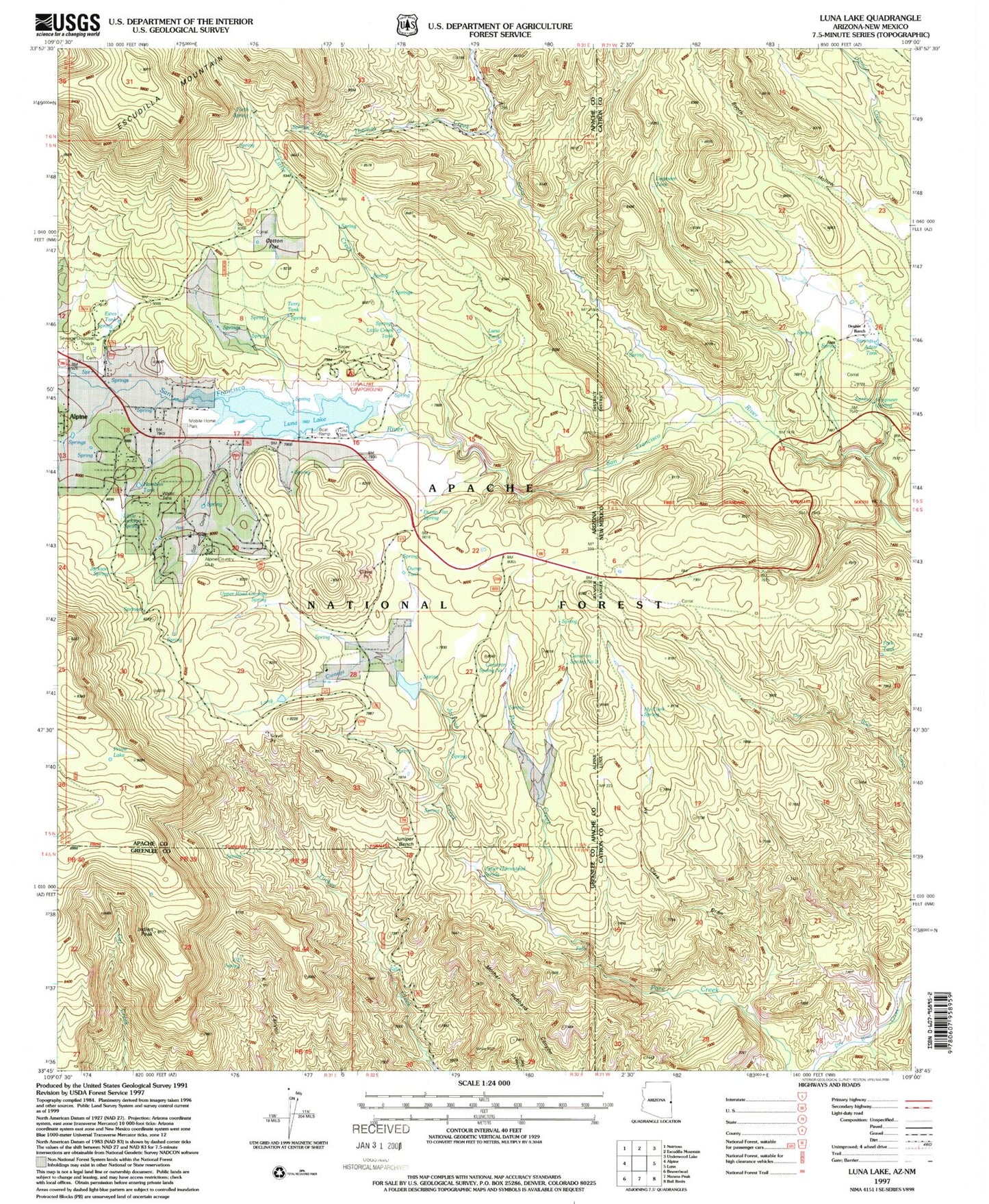
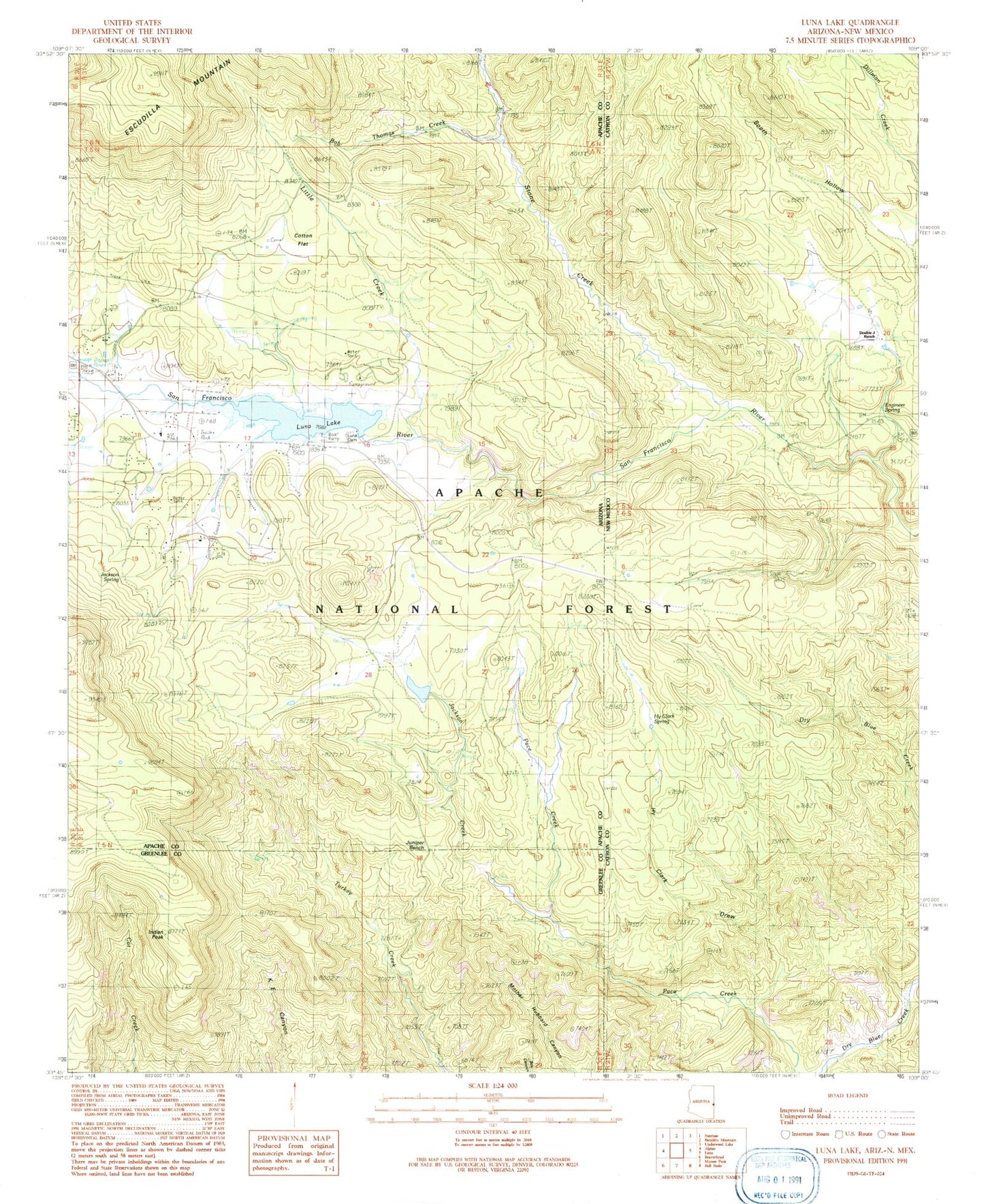
Classic USGS Luna Lake Arizona 7.5'x7.5' Topo Map
Couldn't load pickup availability
Historical USGS topographic quad map of Luna Lake in the states of Arizona, New Mexico. Map scale may vary for some years, but is generally around 1:24,000. Print size is approximately 24" x 27"
This quadrangle is in the following counties: Apache, Catron, Greenlee.
The map contains contour lines, roads, rivers, towns, and lakes. Printed on high-quality waterproof paper with UV fade-resistant inks, and shipped rolled.
Contains the following named places: Adair Tank, Alpine Country Club, Alpine Country CLub Tank, Alpine First Baptist Church, Alpine Forest Service Facility, Alpine Timber Camp, Arroyo Tank, Bob Thomas Creek, Booth Hollow Spring, Booth Hollow Tank, Brown Tank, Cambern, Cameron Spring Number Two, Camp Cienega Spring, Camp Cienega Tank, Canyon Creek Tank, Carmen Spring Number One, Cat Tank, Cotton Flat, Crossing Spring, Double J Ranch, Dry Blue Creek, Dump Flat Spring, Dump Tank, Engineer Spring, Engineer Tank, Estes Tank, Fence Line Spring, Fork Tank, Forth Spring, Frisco Spring, Hall Tank, Hamblin Tank, High Clark Canyon, High Clark Spring, Hy Clark Draw, Hy Clark Spring, Indian Peak, Indian Tank, Jackson Creek, Jackson Spring, Jackson Tank, Juniper Bench, K E Spring, Little Creek, Little Creek Tank, Little Jackson Spring, Little Meadow Spring, Little Spring, Long Cienega, Lower Ke Spring, Lower Little Creek Spring, Luna Dam, Luna Lake, Luna Lake Boat Launch, Luna Lake Campground, Luna Lake Group Campground, Luna Lake Marina, Luna Lake Well, Luna Tank, Prime Lake, Pumpkin Spring, Rincon Spring, Road Cienega Spring, Section Line Tank, Skousen Spring, South Mountain Tank, Stanford Spring, Stone Creek, Tenney Meadow Spring, Tenney Pond, Tenney Tank, Terry Tank, Trap Spring, Trap Tank, Upper Homestead Spring, Upper Long Cienega Spring, Upper Road Cienega Spring, Upper Tenney Spring, White Bluff, White Tail Spring


