MyTopo
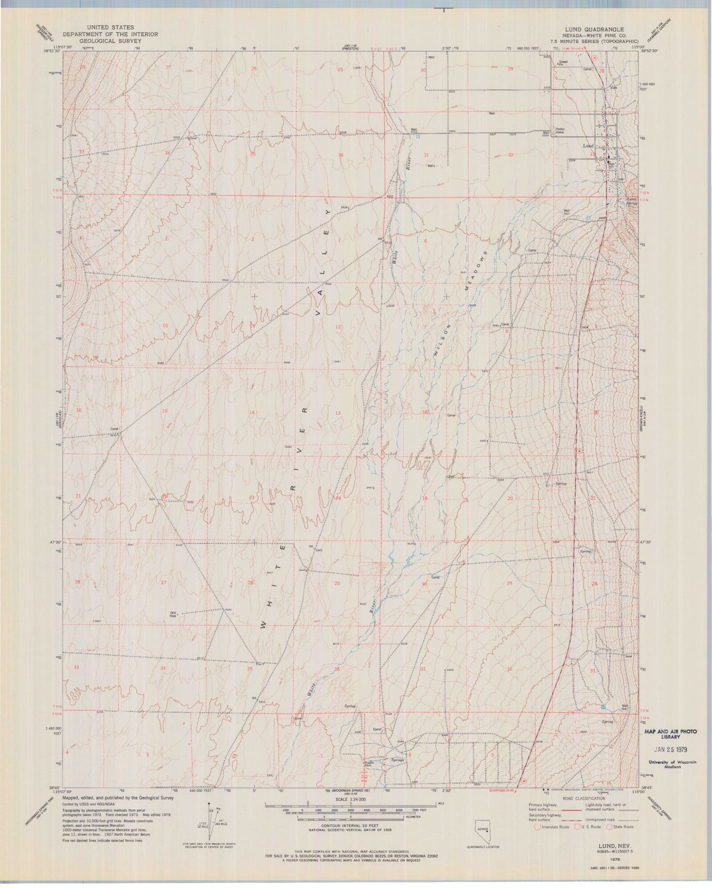
Classic USGS Lund Nevada 7.5'x7.5' Topo Map
Couldn't load pickup availability
Historical USGS topographic quad map of Lund in the state of Nevada. Map scale may vary for some years, but is generally around 1:24,000. Print size is approximately 24" x 27"
This quadrangle is in the following counties: White Pine.
The map contains contour lines, roads, rivers, towns, and lakes. Printed on high-quality waterproof paper with UV fade-resistant inks, and shipped rolled.
Contains the following named places: Douglas Spring, Douglas Well, Fera Well, Indian Springs, Jacob Springs, Lund, Lund Census Designated Place, Lund Elementary School, Lund High School, Lund Holding Corral, Lund Post Office, Lund Spring, Lund Volunteer Fire Department, Preston Well, Ruppes Place, White Pine County Emergency Medical Services - Lund, Wilson Meadows, ZIP Code: 89317