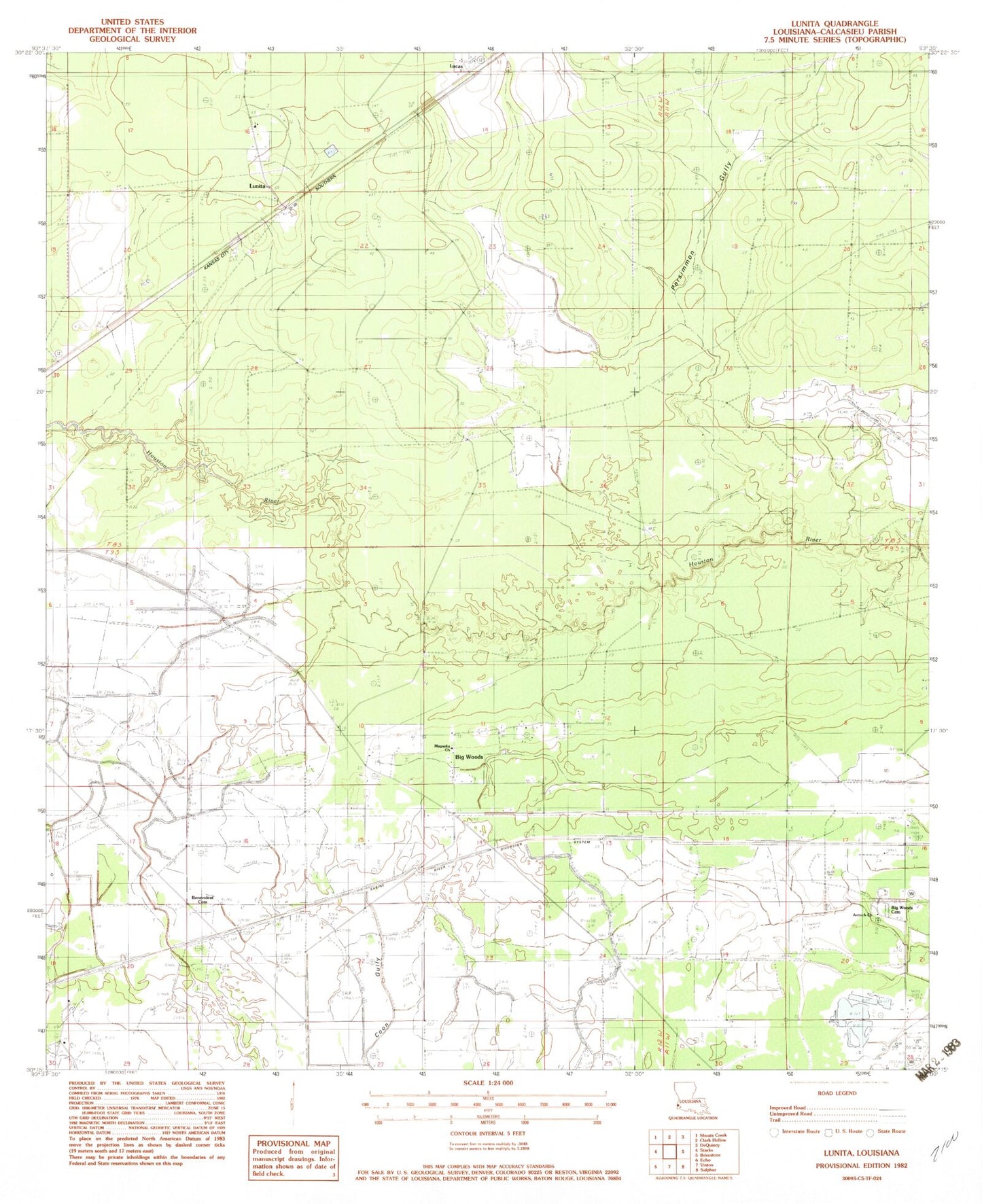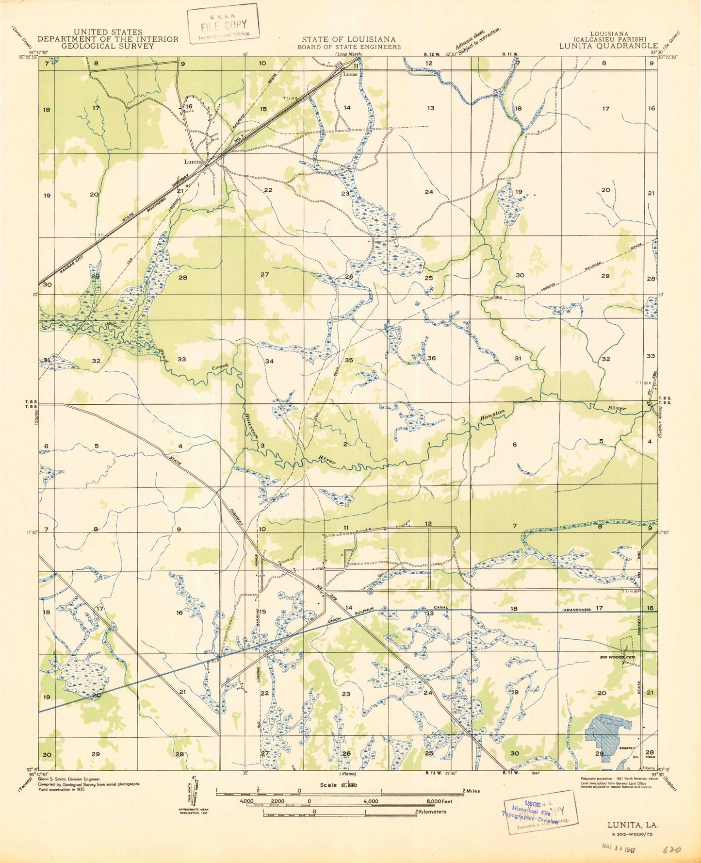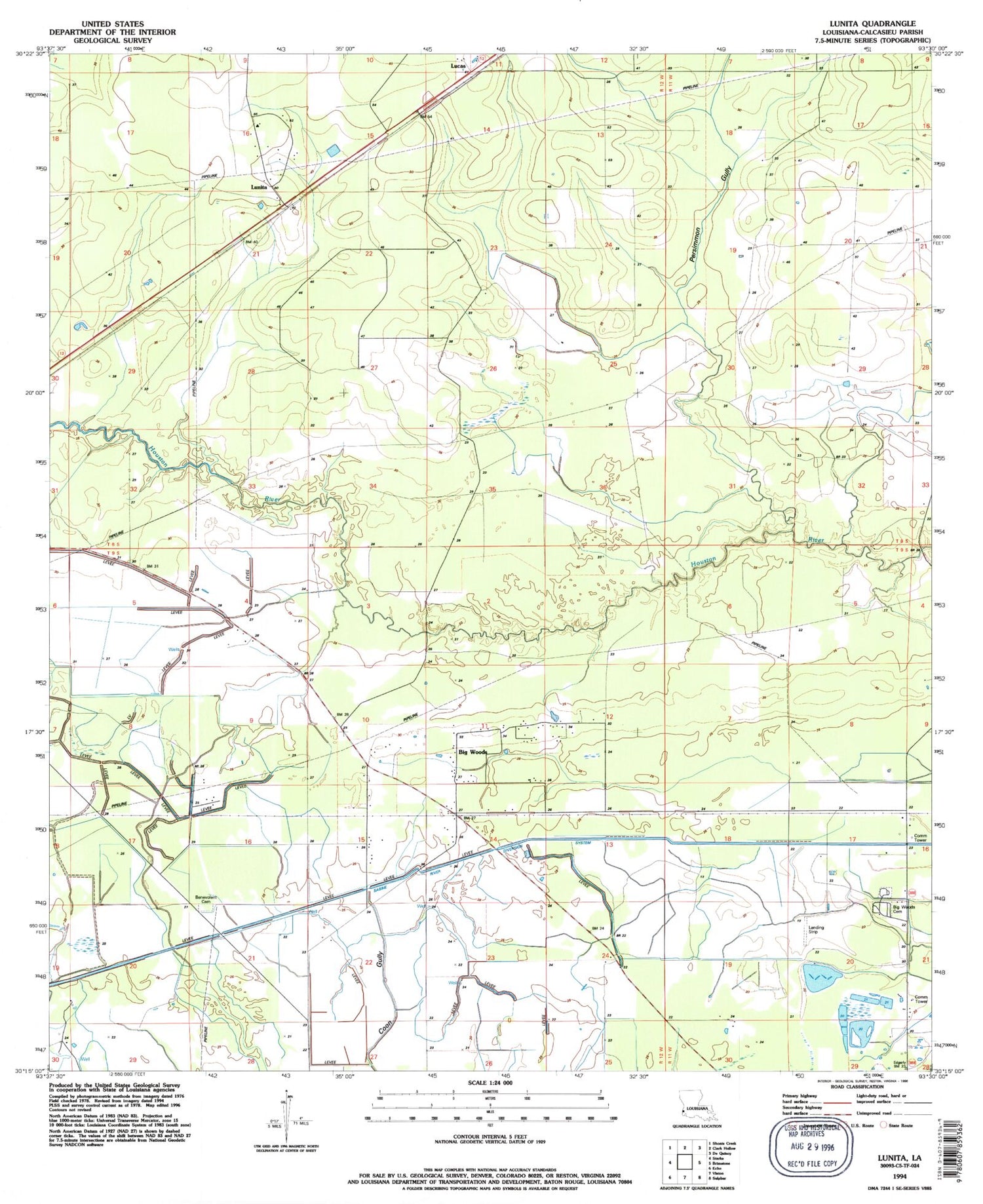

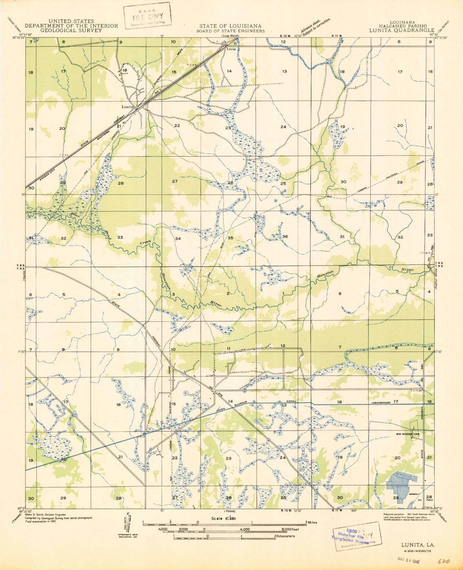
MyTopo
Classic USGS Lunita Louisiana 7.5'x7.5' Topo Map
Couldn't load pickup availability
Historical USGS topographic quad map of Lunita in the state of Louisiana. Map scale may vary for some years, but is generally around 1:24,000. Print size is approximately 24" x 27"
This quadrangle is in the following counties: Calcasieu.
The map contains contour lines, roads, rivers, towns, and lakes. Printed on high-quality waterproof paper with UV fade-resistant inks, and shipped rolled.
Contains the following named places: Antioch Church, Bear Head Creek, Benevolent Cemetery, Big Woods, Big Woods Cemetery, KVHP-TV (Lake Charles), KYKZ-FM (Lake Charles), Lucas, Lunita, Magnolia Church, Parish Governing Authority District 11, Persimmon Gully, Sabine River Diversion System, Starks Compressor Station Heliport