MyTopo
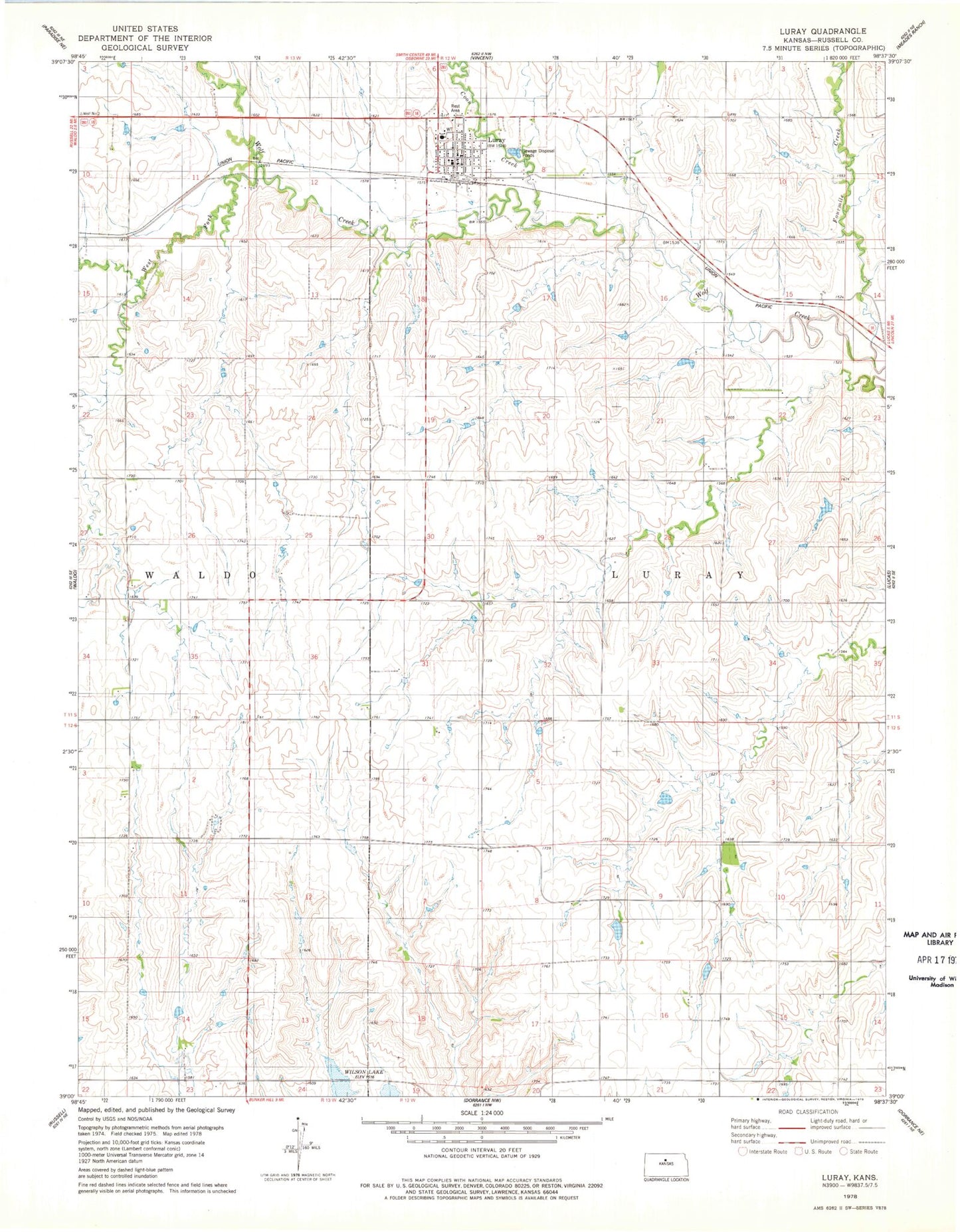
Classic USGS Luray Kansas 7.5'x7.5' Topo Map
Couldn't load pickup availability
Historical USGS topographic quad map of Luray in the state of Kansas. Map scale may vary for some years, but is generally around 1:24,000. Print size is approximately 24" x 27"
This quadrangle is in the following counties: Russell.
The map contains contour lines, roads, rivers, towns, and lakes. Printed on high-quality waterproof paper with UV fade-resistant inks, and shipped rolled.
Contains the following named places: City of Luray, Coon Creek, Fourmile Creek, Luray, Luray - Lucas Elementary School, Luray City Library, Luray City Marshal's Office, Luray Post Office, Luray United Methodist Church, Luray Wastewater Plant, Motor Cross Race Track, Osborne County Rural Fire District 2, Township of Luray, West Fork Wolf Creek