MyTopo
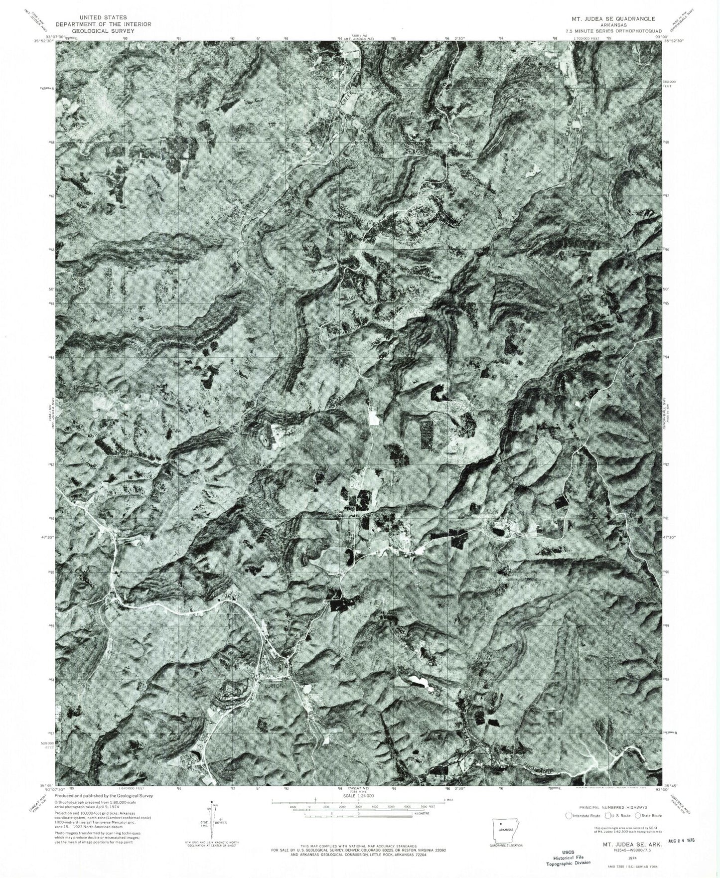
Classic USGS Lurton Arkansas 7.5'x7.5' Topo Map
Couldn't load pickup availability
Historical USGS topographic quad map of Lurton in the state of Arkansas. Map scale may vary for some years, but is generally around 1:24,000. Print size is approximately 24" x 27"
This quadrangle is in the following counties: Newton.
The map contains contour lines, roads, rivers, towns, and lakes. Printed on high-quality waterproof paper with UV fade-resistant inks, and shipped rolled.
Contains the following named places: Battle Creek, Campbell Creek, Cow Creek, Cox Hollow, Dan Heffley Branch, Daniel Mountain, Falls Branch, Greenhaw Hollow, Greenhaw Mountain, Hamilton School, Holt, Hudson Mountain, Ketcherside Fire Tower, Ketcherside Mountain, Lurton, Lurton - Pelsor Rural Fire Department, Macedonia School, Middle Mountain, Rock House Hollow, Sams Throne, Sassafras Knob, Shulers Point, Spence Jucntion, Still Hollow, Tarlton Cemetery, Tarlton Flats, Tilly Creek, Township of Big Creek, Township of Richland, ZIP Code: 72856