
MyTopo
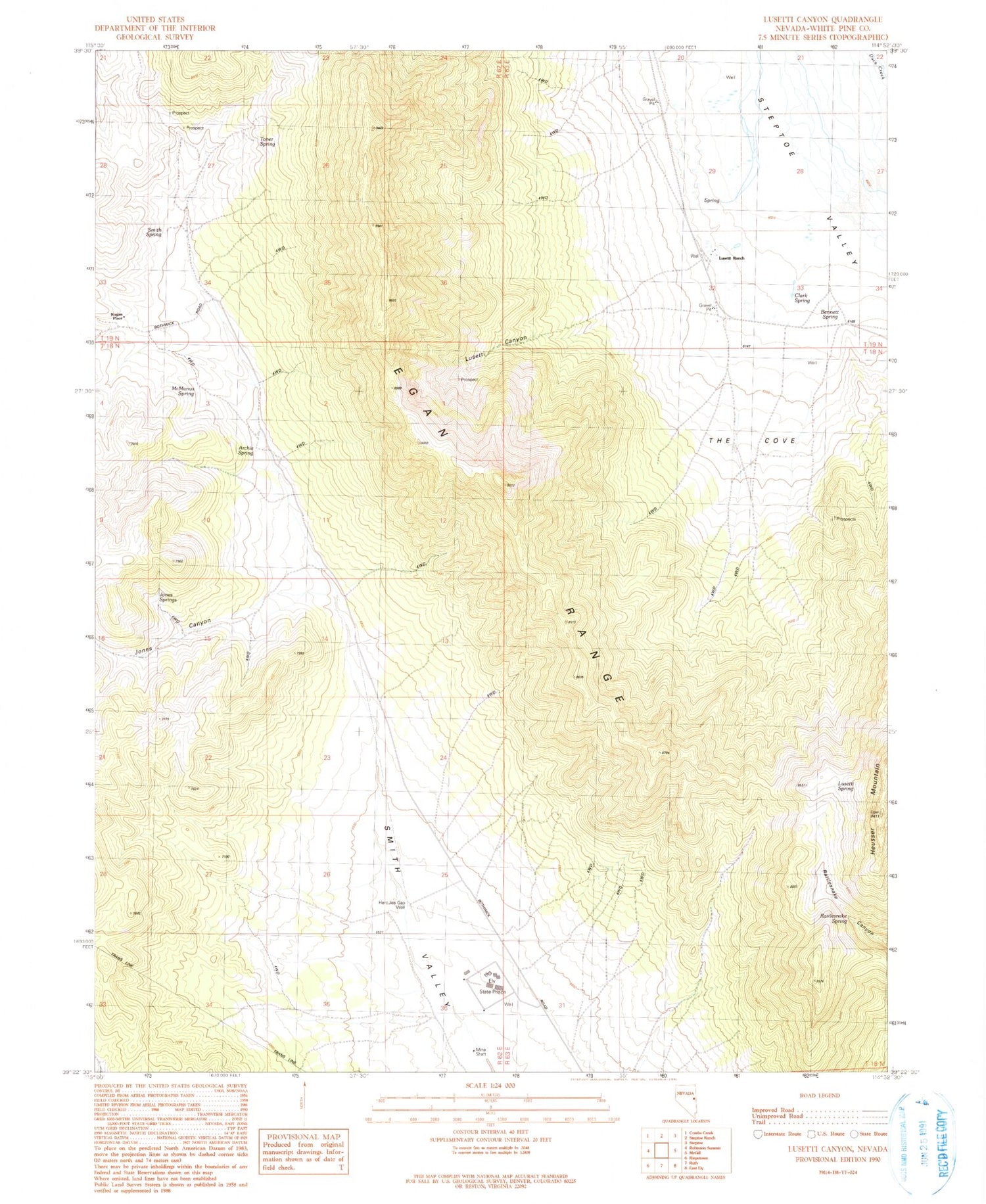
Classic USGS Lusetti Canyon Nevada 7.5'x7.5' Topo Map
Couldn't load pickup availability
Historical USGS topographic quad map of Lusetti Canyon in the state of Nevada. Map scale may vary for some years, but is generally around 1:24,000. Print size is approximately 24" x 27"
This quadrangle is in the following counties: White Pine.
The map contains contour lines, roads, rivers, towns, and lakes. Printed on high-quality waterproof paper with UV fade-resistant inks, and shipped rolled.
Contains the following named places: Archie Spring, Bennett Spring, Bristlecone Wilderness, Clark Spring, Ely State Prison, Fera Forty, Fera Thirtyseven, Hercules Gap Well, Heusser Mountain, Jones Canyon, Jones Springs, Kogan Place, Lusetti Canyon, Lusetti Ranch, Lusetti Spring, McManus Spring, Mountain High School, Rattlesnake Spring, Smith Spring, The Cove, Toner Spring, White Pine County


