MyTopo
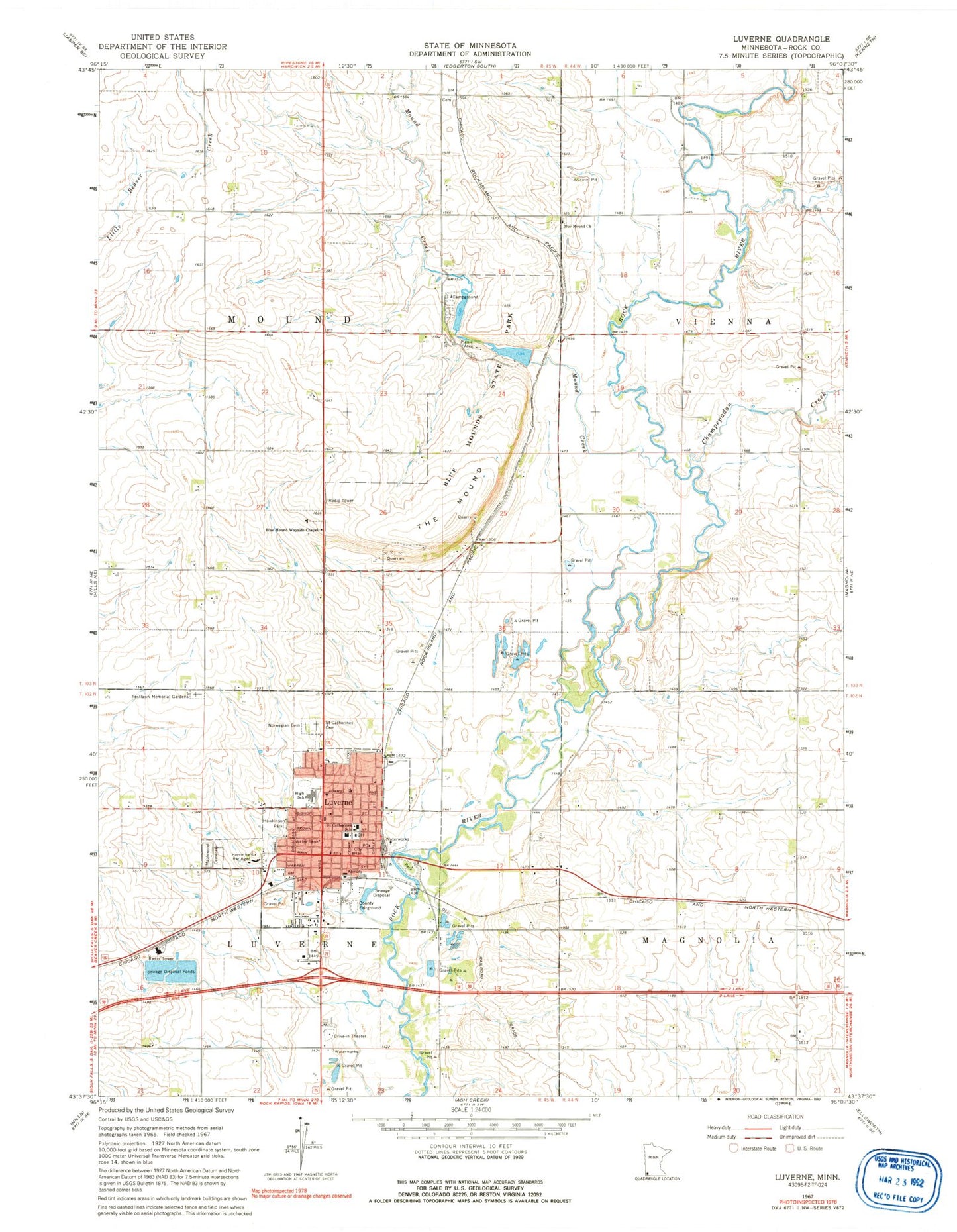
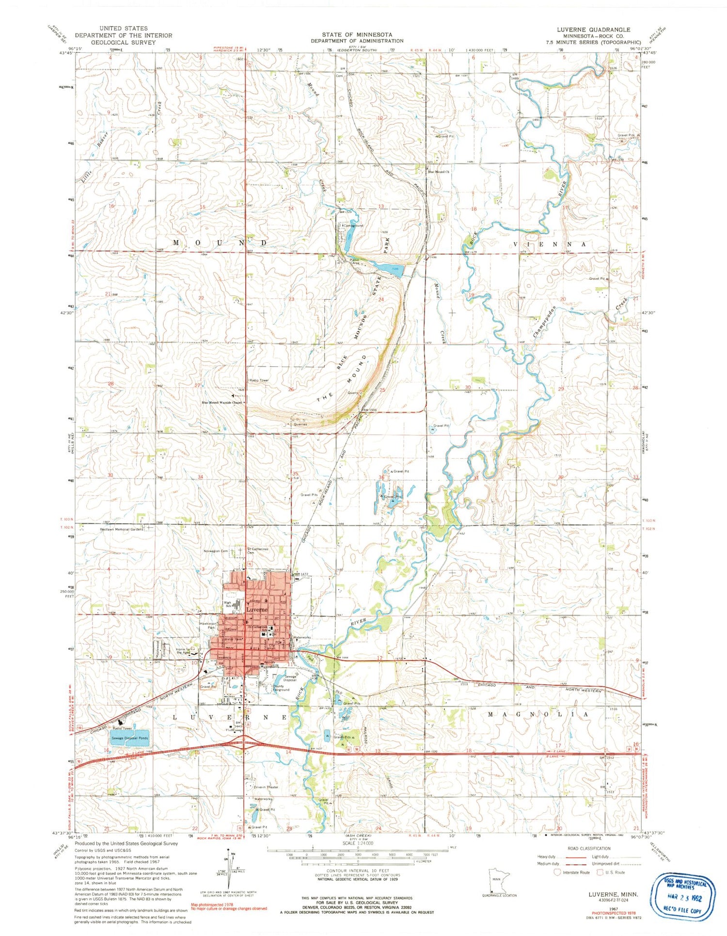
Classic USGS Luverne Minnesota 7.5'x7.5' Topo Map
Couldn't load pickup availability
Historical USGS topographic quad map of Luverne in the state of Minnesota. Map scale may vary for some years, but is generally around 1:24,000. Print size is approximately 24" x 27"
This quadrangle is in the following counties: Rock.
The map contains contour lines, roads, rivers, towns, and lakes. Printed on high-quality waterproof paper with UV fade-resistant inks, and shipped rolled.
Contains the following named places: American Reformed Church, Bethany Lutheran Church, Blue Mound Cemetery, Blue Mound Church, Blue Mound Wayside Chapel, Blue Mounds State Park, Brown Church, Champepadan Creek, Christian Reformed Church, City of Luverne, First Assembly of God Church, First Baptist Church, First Presbyterian Church, Grace Lutheran Church, Hawkinson Park, Hinkly House Museum, Holy Trinity Episcopal Church, Kingdom Hall of Jehovah's Witnesses, KQAD-AM (Luverne), Luverne, Luverne City Hall, Luverne City Park, Luverne Community Hospital, Luverne Country Club, Luverne Fire Department, Luverne High School, Luverne Post Office, Luverne Wastewater Treatment Facility, Maplewood Cemetery, Mary Jane Good Samaritan Home, Minnesota Veterans Home, Mound Creek, North Mound Creek Pool, North Mound Creek Pool Dam, Norwegian Cemetery, Redbird Field, Restlawn Memorial Gardens, Rock County Ambulance, Rock County Community Library, Rock County Courthouse, Rock County Historical Museum, Rock County Sheriff's Office, Rock County Waterfowl Production Area, Rock River Dam, Rock River Reservoir, Saint Catherine Cemetery, Saint Catherine Church, Saint Catherines School, Saint John Lutheran Church, Sanford Luverne Medical Center, Schoeman Park, Sioux Valley Clinic Luverne, South Mound Creek Pool, South Mound Creek Pool Dam, The Mound, Township of Luverne, Township of Mound, United Methodist Church, Vans Dairy, Verne Drive Inn Theatre, Verne Drive-In, ZIP Code: 56156


