MyTopo
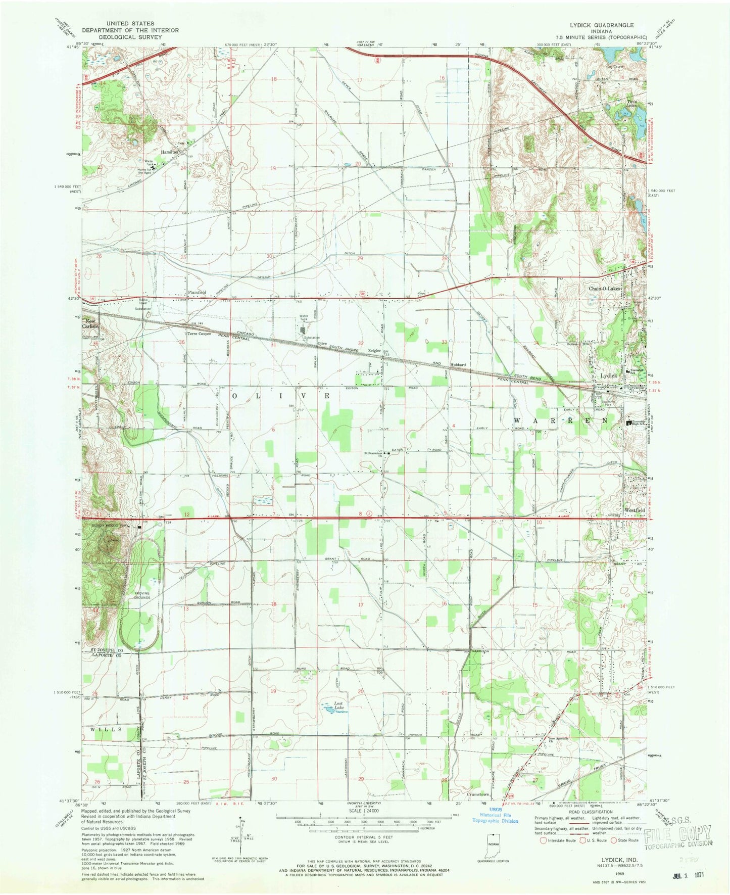
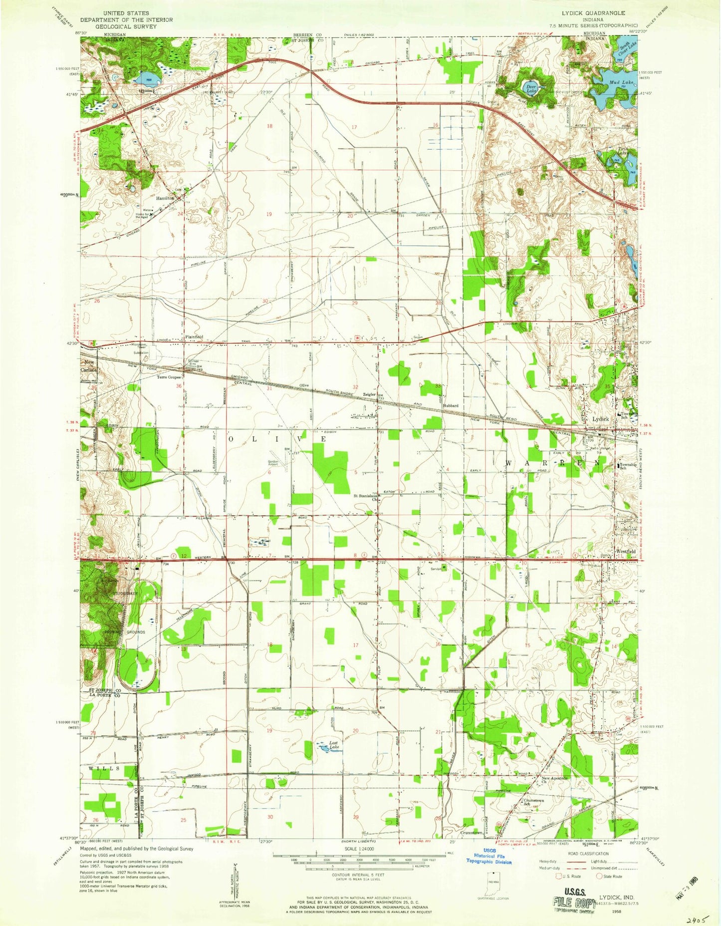
Classic USGS Lydick Indiana 7.5'x7.5' Topo Map
Couldn't load pickup availability
Historical USGS topographic quad map of Lydick in the state of Indiana. Map scale may vary for some years, but is generally around 1:24,000. Print size is approximately 24" x 27"
This quadrangle is in the following counties: LaPorte, St. Joseph.
The map contains contour lines, roads, rivers, towns, and lakes. Printed on high-quality waterproof paper with UV fade-resistant inks, and shipped rolled.
Contains the following named places: Bendix Woods Park, Chain-O-Lakes, Chain-O-Lakes Ditch, Geyer Ditch, Hamilton, Hubbard, Hustons Airport, Lost Lake, Lydick, New Apostolic Church, Olive, Plainfield, Saint Stanislaus Church, Taylor Ditch, Terre Coupee, Town of New Carlisle, Township of Olive, Township of Warren, Twin Lakes, Warren Township Fire Department Station 1, Warren Township Fire Department Station 2, Westfield, Zeigler, ZIP Code: 46552