MyTopo
Classic USGS Lykens Ohio 7.5'x7.5' Topo Map
Couldn't load pickup availability
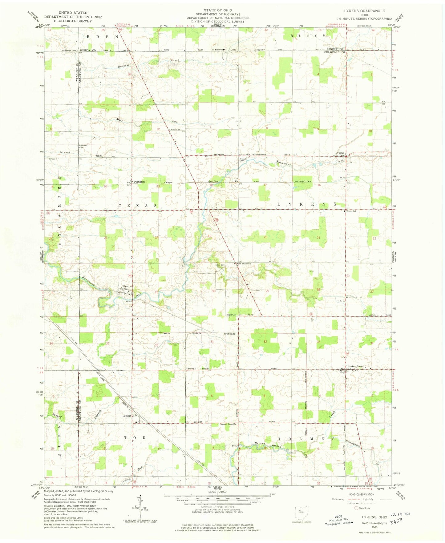
Historical USGS topographic quad map of Lykens in the state of Ohio. Map scale may vary for some years, but is generally around 1:24,000. Print size is approximately 24" x 27"
This quadrangle is in the following counties: Crawford, Seneca, Wyandot.
The map contains contour lines, roads, rivers, towns, and lakes. Printed on high-quality waterproof paper with UV fade-resistant inks, and shipped rolled.
Contains the following named places: Baseline Cemetery, Benton, Brandywine Creek, Broken Sword, Brokensword Cemetery, Brokensword Post Office, Brundedge Cemetery, East Baseline Baptist Cemetery, Eden Cemetery, Freewill Cemetery, Lee Cemetery, Lemert, Lemert Post Office, Lykens, Lykens Post Office, Lykens Township Fire Department, North Branch Spring Branch, Olive Branch Church, Pipetown Cemetery, Plankton, Pleasant Home Church, Saint Johns Church, Seery Cemetery, South Branch Spring Branch, Texas Township Cemetery, Township of Lykens, Township of Texas