MyTopo
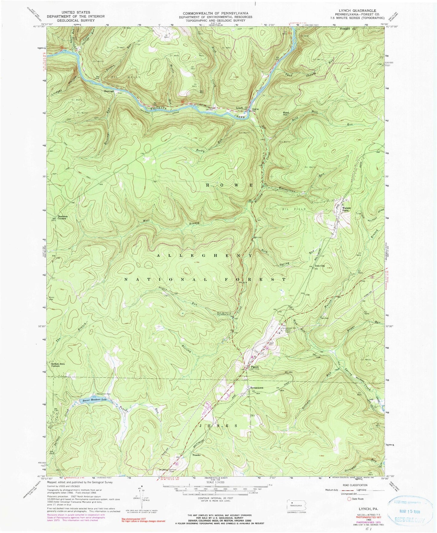
Classic USGS Lynch Pennsylvania 7.5'x7.5' Topo Map
Couldn't load pickup availability
Historical USGS topographic quad map of Lynch in the state of Pennsylvania. Typical map scale is 1:24,000, but may vary for certain years, if available. Print size: 24" x 27"
This quadrangle is in the following counties: Forest, Warren.
The map contains contour lines, roads, rivers, towns, and lakes. Printed on high-quality waterproof paper with UV fade-resistant inks, and shipped rolled.
Contains the following named places: Bald Hill, Bald Hill Run, Beaver Meadows Lake, Blue Jay Spring Recreation Area, Bluejay Creek, Bush Creek, Byromtown, Deadman Corners, Gilfoyle Run, Hastings, Hastings Run, Iron City, Lindsey Hollow, Lower Sheriff Run, Lynch, Martin Run, Penoke, Penoke Run, Rappe Run, Reagan Run, Rock Run, Rock Spring Run, Rocky Run, Slater Run, Straight Run, Thad Shanty Run, Upper Sheriff Run, Watson Branch, Watsontown Run, West Branch Bluejay Creek, Beaver Meadows Dam, Watson Farm, Marienville Rod and Gun Club, Beaver Meadows Recreation Site, Pigeon, Township of Howe, Frost Cemetery


