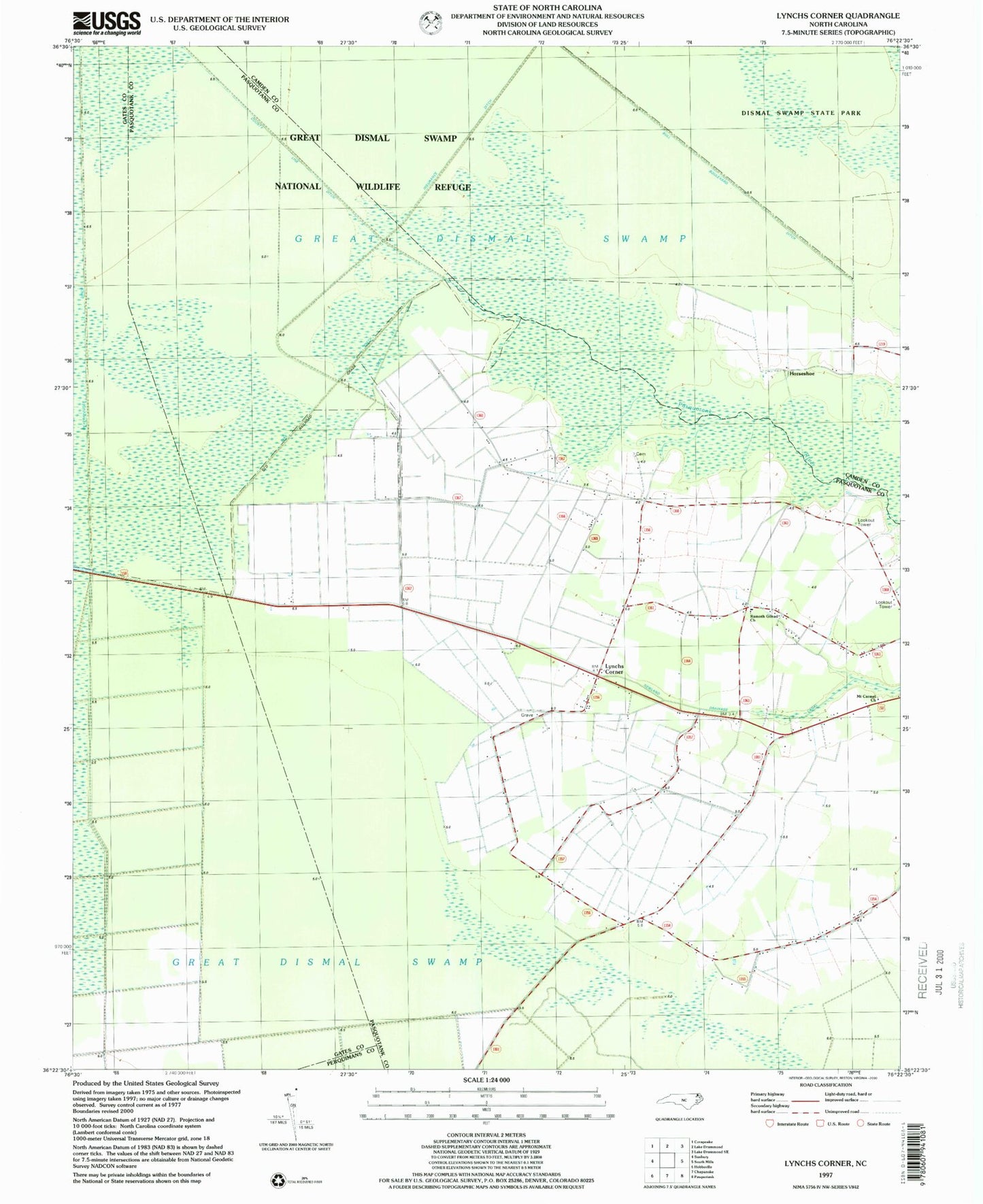
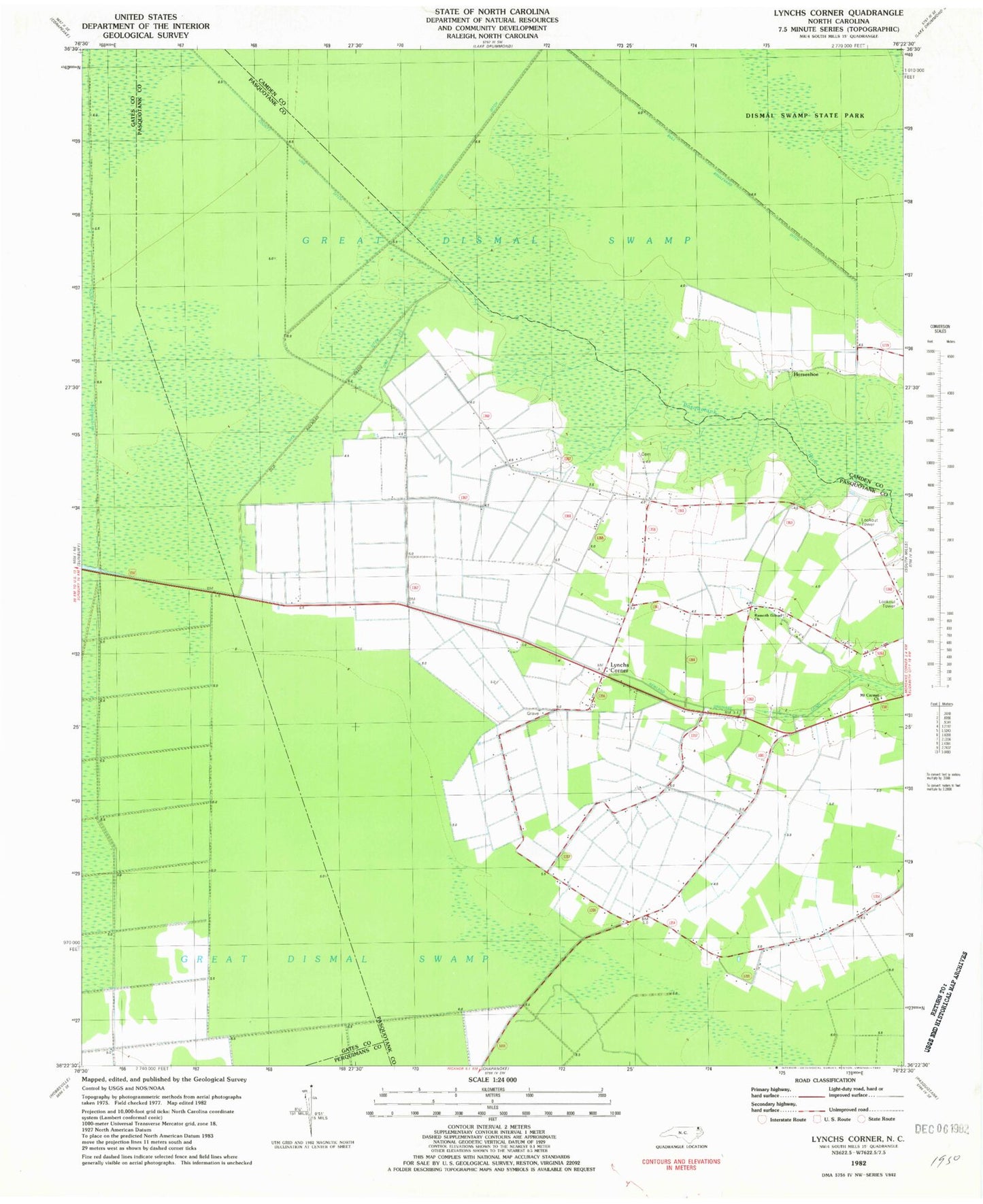
MyTopo
Classic USGS Lynchs Corner North Carolina 7.5'x7.5' Topo Map
Couldn't load pickup availability
Historical USGS topographic quad map of Lynchs Corner in the state of North Carolina. Map scale may vary for some years, but is generally around 1:24,000. Print size is approximately 24" x 27"
This quadrangle is in the following counties: Camden, Gates, Pasquotank, Perquimans.
The map contains contour lines, roads, rivers, towns, and lakes. Printed on high-quality waterproof paper with UV fade-resistant inks, and shipped rolled.
Contains the following named places: Dike Ditch, Dike Leg, Griffin Family Cemetery, Horseshoe, Insurance Ditch, Lambs Grove Baptist Church, Lynchs Corner, Mount Carmel Church, Newland Drainage Canal, Pasquotank Newland Volunteer Fire Department, Ramoth Gilead Church, Tadmore, Township of Newland