MyTopo
Classic USGS Lyndon NW Kansas 7.5'x7.5' Topo Map
Regular price
$16.95
Regular price
Sale price
$16.95
Unit price
per
Couldn't load pickup availability
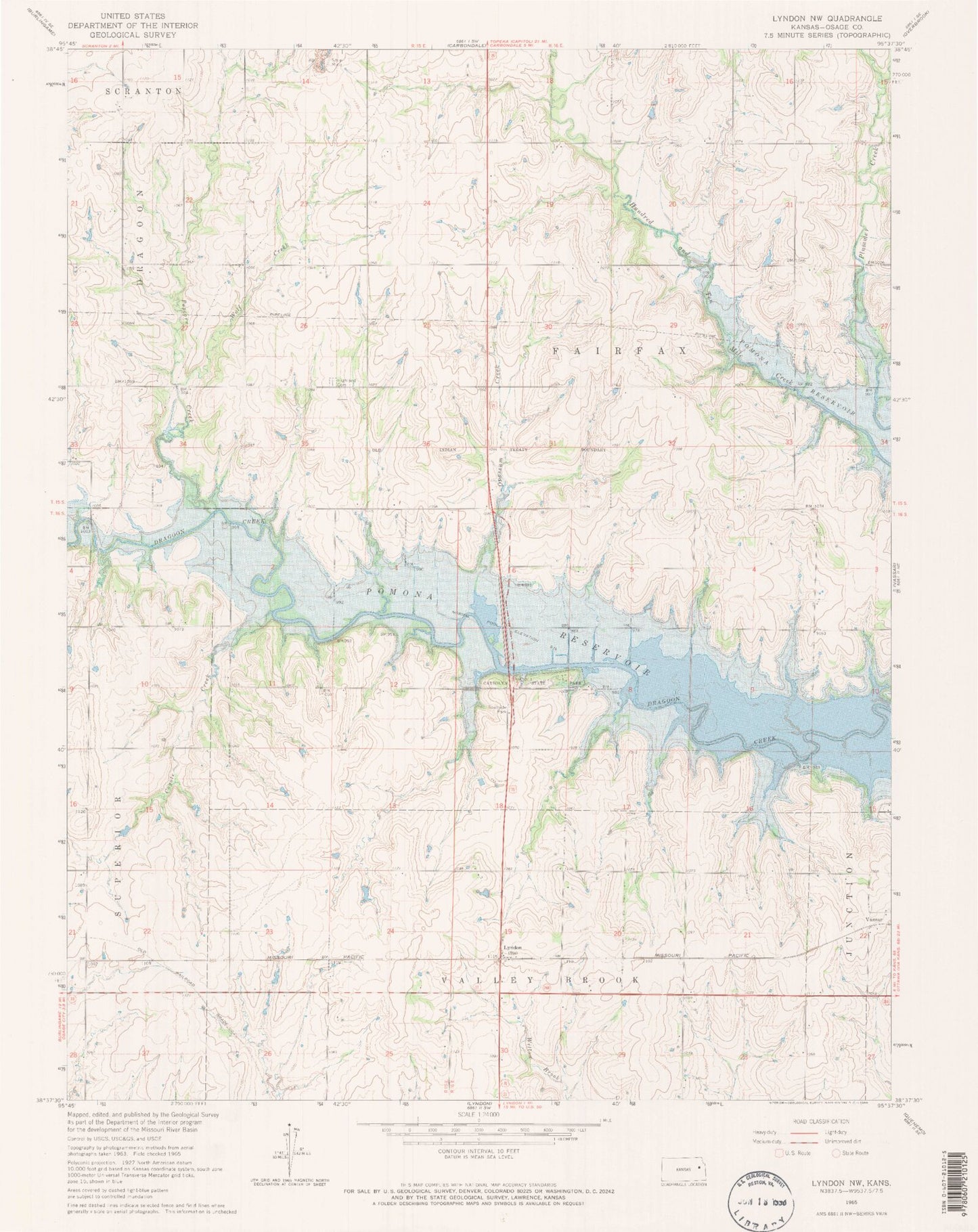
Historical USGS topographic quad map of Lyndon NW in the state of Kansas. Map scale may vary for some years, but is generally around 1:24,000. Print size is approximately 24" x 27"
This quadrangle is in the following counties: Osage.
The map contains contour lines, roads, rivers, towns, and lakes. Printed on high-quality waterproof paper with UV fade-resistant inks, and shipped rolled.
Contains the following named places: Carbolyn State Park, Coyote Creek, Dragoon Creek Motocross Park, Fairfax, Highland Cemetery, Kingdom Hall of Jehovah's Witnesses, Lyndon Station, Opossum Creek, Osage County, Pomona Lake Airport, Pop Corn, Popcorn Creek, Township of Fairfax, Wolf Creek