MyTopo
Classic USGS Lynn Creek Mississippi 7.5'x7.5' Topo Map
Couldn't load pickup availability
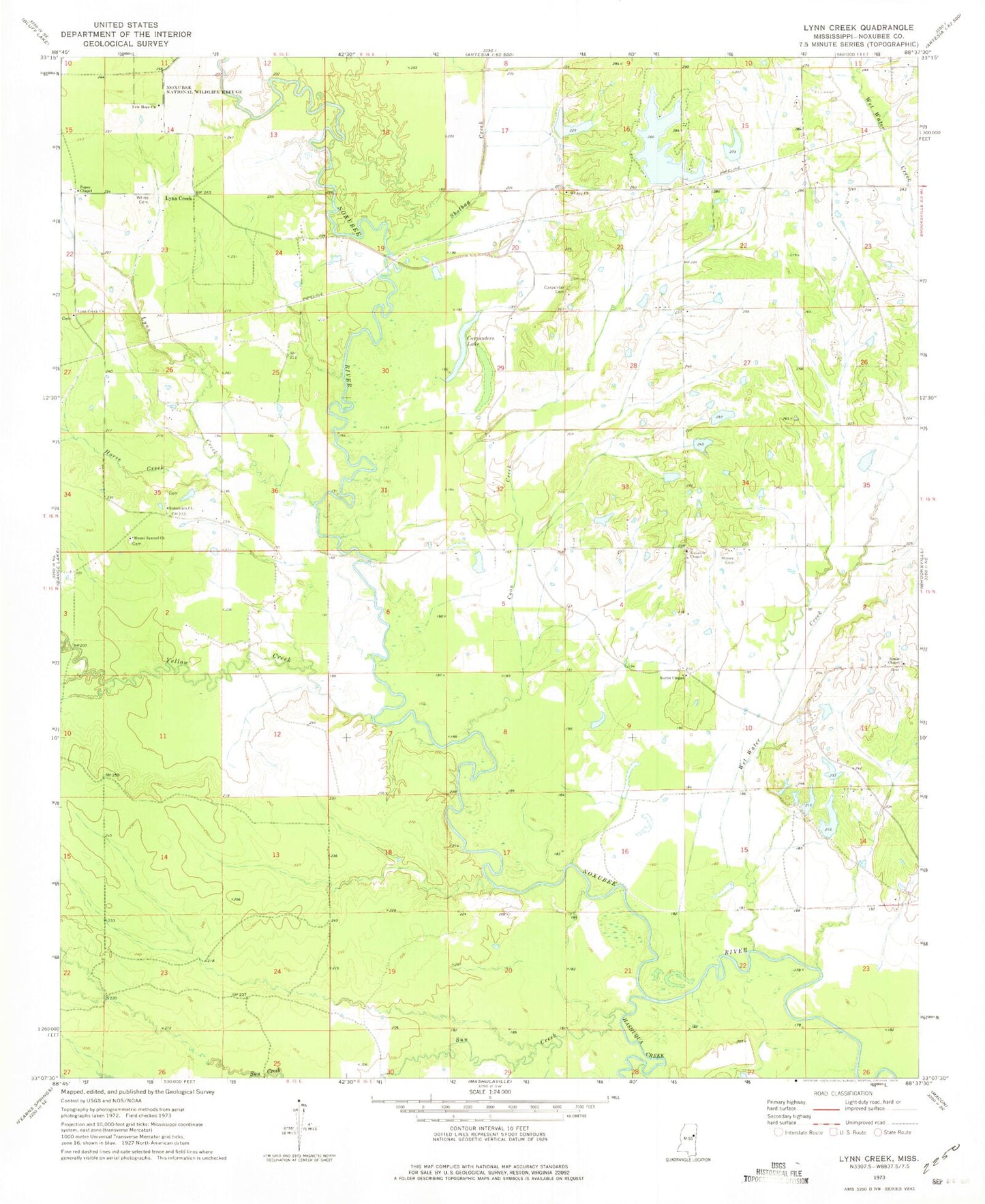
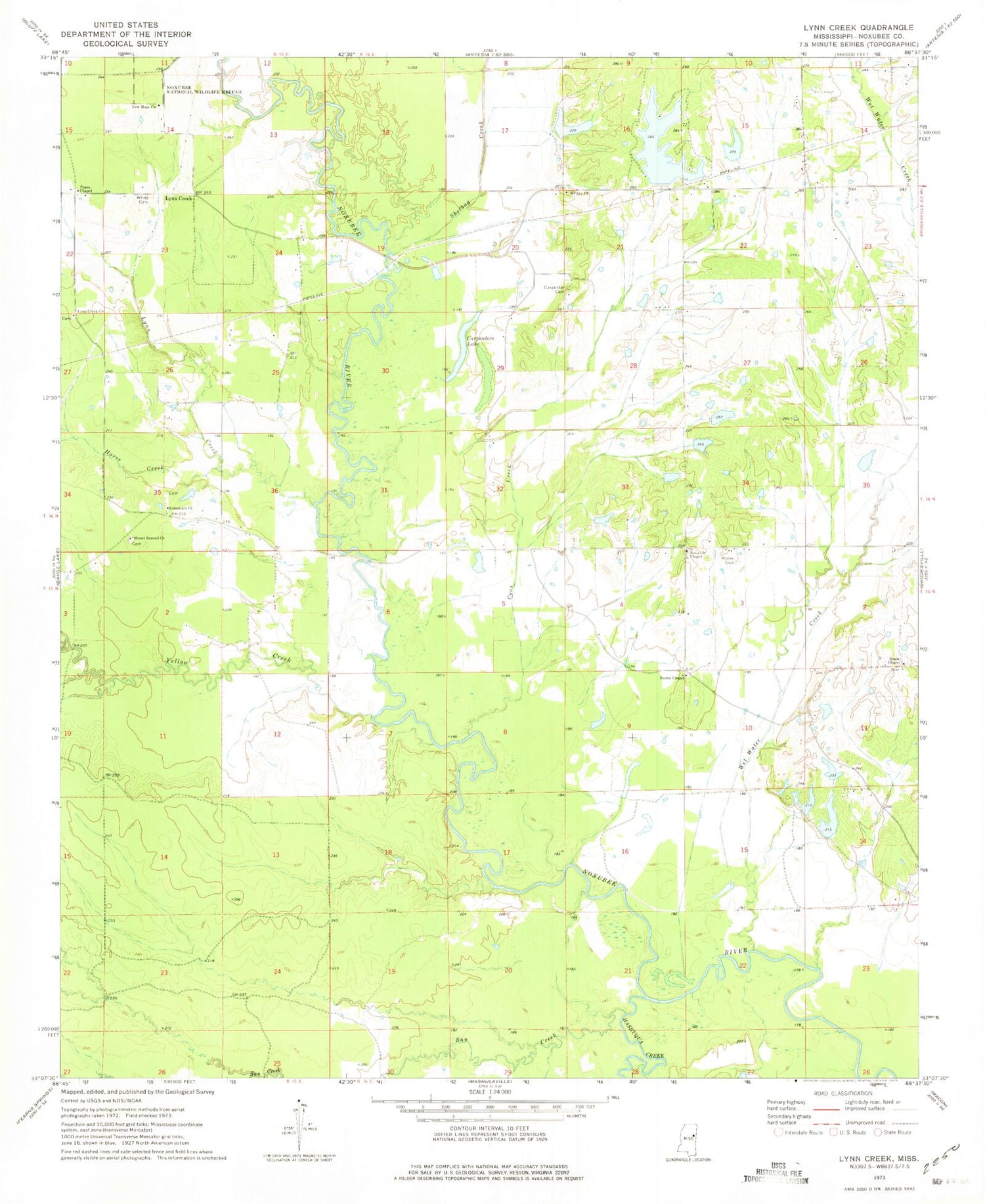
Historical USGS topographic quad map of Lynn Creek in the state of Mississippi. Map scale may vary for some years, but is generally around 1:24,000. Print size is approximately 24" x 27"
This quadrangle is in the following counties: Noxubee.
The map contains contour lines, roads, rivers, towns, and lakes. Printed on high-quality waterproof paper with UV fade-resistant inks, and shipped rolled.
Contains the following named places: Allgoods Mill, Buggs Ferry, Buggs Ferry Bridge, Carpenter Cemetery, Carpenters Lake, Carpenters Store, Cedar Grove Church, Coon Creek, Cranford Bridge, Dixie, Earle Creek, Eli, Erickson Lake Number 1 Dam, Erickson Lake Number 2 Dam, Erickson Lake Number 3 Dam, Fairview, Hashuqua Creek, Heard Lake Dam, Horse Creek, Jeff Davis, Land O Lakes Dam, Lynn Creek, Lynn Creek Cemetery, Lynn Creek Church, Martin Chapel, McLeods Chapel, Moore Cemetery, Moore Lake Dam, Mount Ary Church, Mount Samuel Church, New Hope Church, Northwest Fire Department, P E Moore Pond Dam, Popes Chapel, Robys Store, Ruhama Cemetery, Ruhamach Church, Saint Pauls Church, Shotbag Creek, Soule Chapel, Soule Chapel Cemetery, Sun Creek, Supervisor District 5, Taylors, Varner Lake Dam, Wet Water Creek, White Cemetery, Yellow Creek


