MyTopo
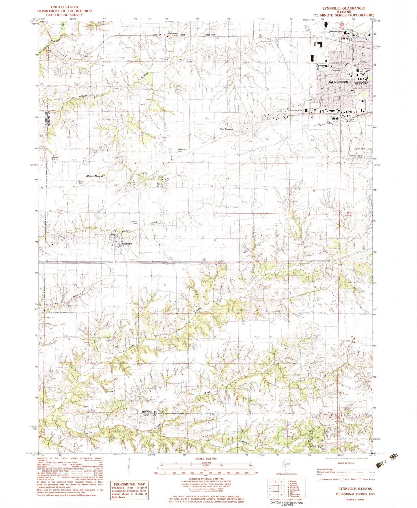
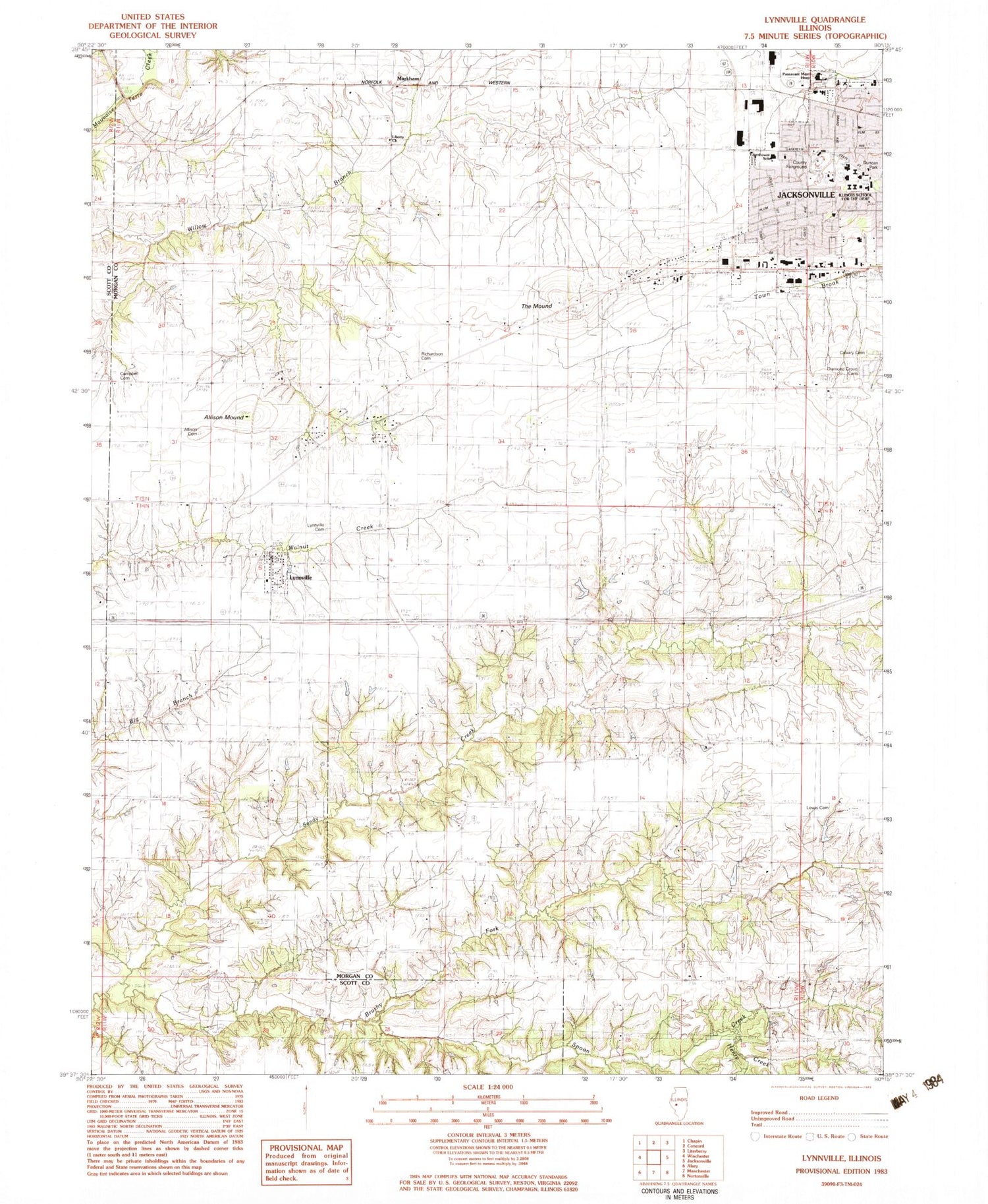
Classic USGS Lynnville Illinois 7.5'x7.5' Topo Map
Couldn't load pickup availability
Historical USGS topographic quad map of Lynnville in the state of Illinois. Map scale may vary for some years, but is generally around 1:24,000. Print size is approximately 24" x 27"
This quadrangle is in the following counties: Morgan, Scott.
The map contains contour lines, roads, rivers, towns, and lakes. Printed on high-quality waterproof paper with UV fade-resistant inks, and shipped rolled.
Contains the following named places: Allison Cemetery, Allison Mound, Brushy Fork, Buckhorn School, Calvary Cemetery, Campbell Cemetery, Christ Lutheran Church, Diamond Grove Cemetery, Duncan Park, Eisenhower Elementary School, Elkhorn School, Elm Grove School, Henry Creek, Illinois School for the Deaf, Jacksonville Fire Department Station 2, Jacksonville Industrial Park, Jacksonville Number 11 Election Precinct, Jacksonville Number 12 Election Precinct, Jacksonville Number 13 Election Precinct, Jacksonville Number 14 Election Precinct, Jacksonville Number 15 Election Precinct, Lewis Cemetery, Liberty Cemetery, Liberty Church, Lynnville, Lynnville Cemetery, Lynnville Election Precinct, Markham, Markham Election Precinct, Medical Center Heliport, Morgan County Fairground, Mound School, Passavant Area Hospital, Passavant Memorial Area Hospital Association Heliport, Point School, Richardson Cemetery, Rowe Lake, Rowe Lake Dam, Spoon Creek, Strawns Grove School, The Mound, Timber Edge School, Village of Lynnville, West Liberty School


