MyTopo
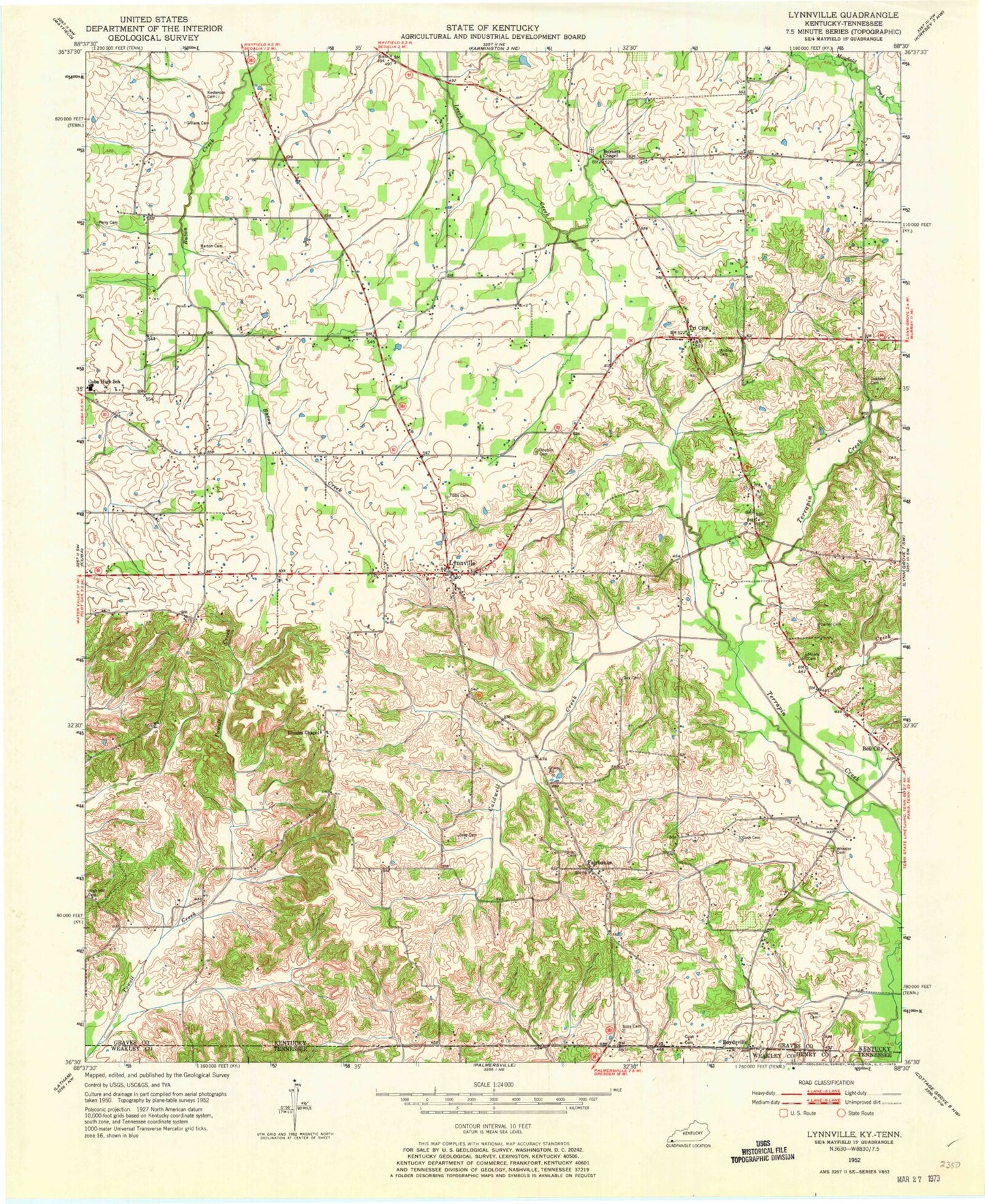
Classic USGS Lynnville Kentucky 7.5'x7.5' Topo Map
Couldn't load pickup availability
Historical USGS topographic quad map of Lynnville in the states of Kentucky, Tennessee. Map scale may vary for some years, but is generally around 1:24,000. Print size is approximately 24" x 27"
This quadrangle is in the following counties: Graves, Henry, Weakley.
The map contains contour lines, roads, rivers, towns, and lakes. Printed on high-quality waterproof paper with UV fade-resistant inks, and shipped rolled.
Contains the following named places: Andrus Cemetery, Barton Cemetery, Bell City, Boston Cemetery, Boydsville, Boydsville Cemetery, Burnett Chapel, Burnetts Chapel Cemetery, Caldwell Creek, Carter Cemetery, Cook Cemetery, Cooksville, Cooter Creek, Cuba Elementary School, Cuba Fire Department, Day Cemetery, Doublin Cemetery, East Fork Terrapin Creek, Fairbanks, Gilliam Cemetery, High Hill Cemetery, Jones Cemetery, Kesterson Cemetery, Lynnville, Morris Cemetery, Mud Creek, Oakland Cemetery, Perry Cemetery, Pittman Cemetery, Rhodes Chapel, Rhodes Chapel Cemetery, Seay Cemetery, Sedalia Division, Sims Cemetery, Tibbs Cemetery, Tri City, Vealsburg, West Fork Terrapin Creek, Wheeler Cemetery, ZIP Code: 42079


