MyTopo
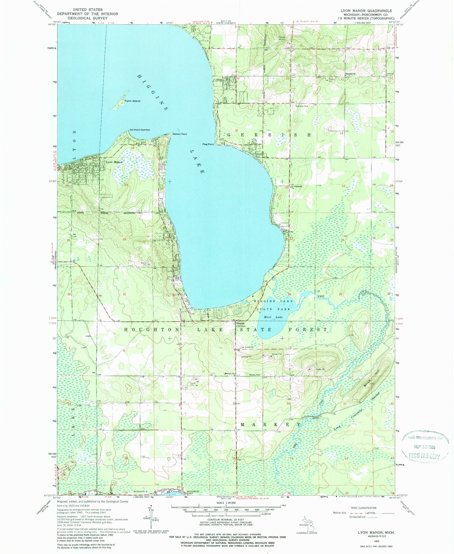
Classic USGS Lyon Manor Michigan 7.5'x7.5' Topo Map
Couldn't load pickup availability
Historical USGS topographic quad map of Lyon Manor in the state of Michigan. Map scale may vary for some years, but is generally around 1:24,000. Print size is approximately 24" x 27"
This quadrangle is in the following counties: Roscommon.
The map contains contour lines, roads, rivers, towns, and lakes. Printed on high-quality waterproof paper with UV fade-resistant inks, and shipped rolled.
Contains the following named places: Birch Hill, Burning Oak Country Club, Church of Jesus Christ of Latter Day Saints, Detroit Point, Flag Point, Flynn Island, Gerrish Historical Marker, Gerrish Township Cemetery, Gerrish Township Fire and Emergency Medical Services Station 3, Gerrish Township Fire Department - Emergency Medical Services Station 2, Gerrish Township Fire Department / Emergency Medical Services, Gerrish Township Police Department, Good Shepherd United Methodist Church, Great Circle Campground, Higgins Lake, Higgins Lake Campground, Higgins Lake Hideaway Mobile Home Park, Immanuel Baptist Church, Immanuel Baptist School, Lyon Manor, Markey Cemetery, Markey Church, Markey Post Office, Marl Lake, Messiah Church, North Shore Trailer Park, Old Point Comfort, Pioneer Ski Hill, Saint Elizabeth Church, Saint James Church, Sharps Corners, South Higgins Lake State Park, South Higgins Lake State Park East Campground, South Higgns Lake State Park West Campground, Township of Gerrish, Township of Markey, Ye Olde Country Club


