MyTopo
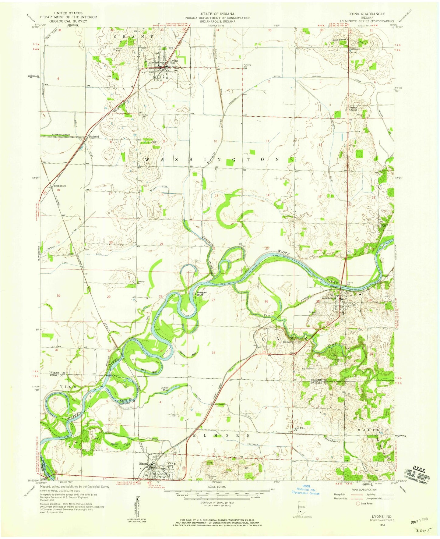
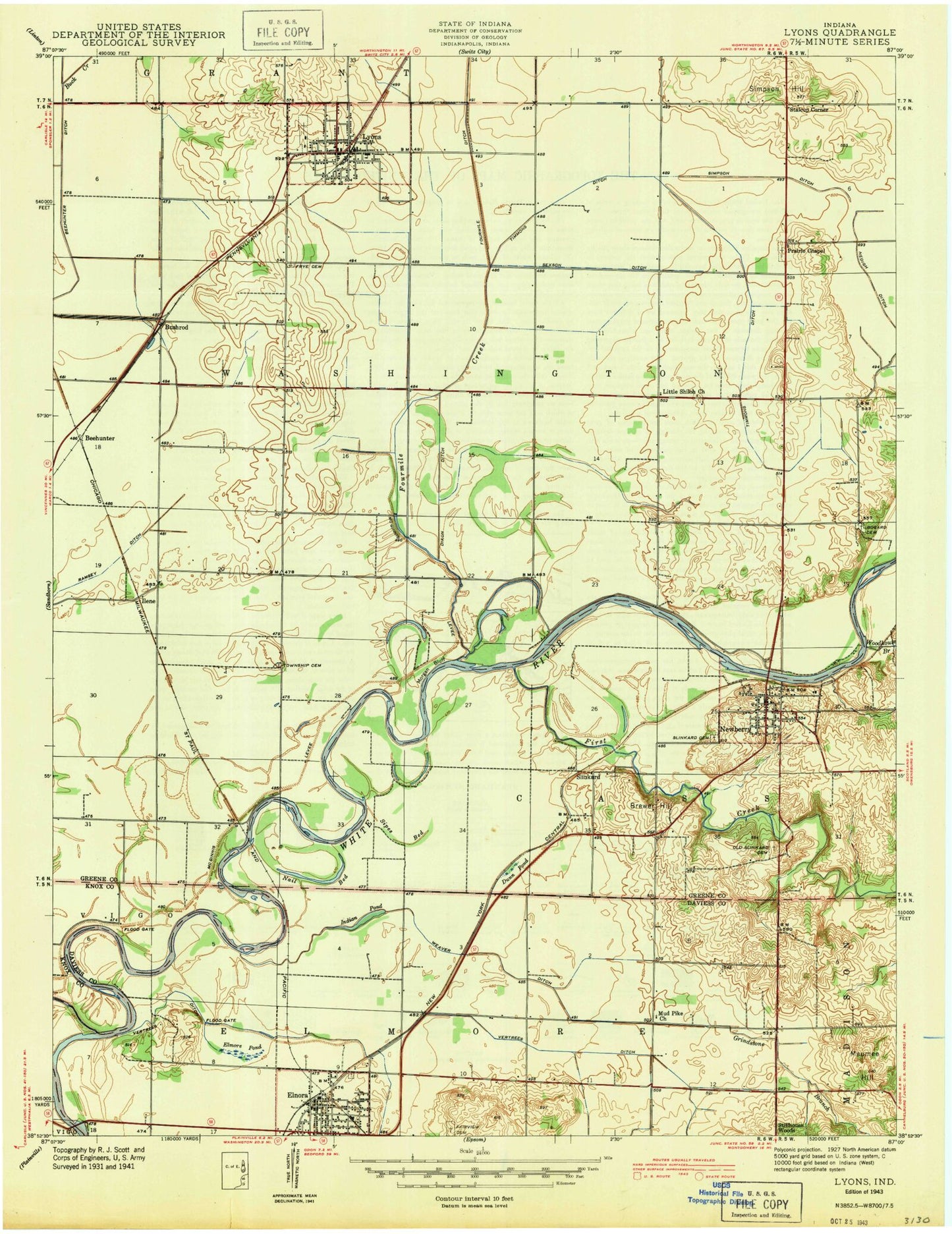
Classic USGS Lyons Indiana 7.5'x7.5' Topo Map
Couldn't load pickup availability
Historical USGS topographic quad map of Lyons in the state of Indiana. Map scale may vary for some years, but is generally around 1:24,000. Print size is approximately 24" x 27"
This quadrangle is in the following counties: Daviess, Greene, Knox.
The map contains contour lines, roads, rivers, towns, and lakes. Printed on high-quality waterproof paper with UV fade-resistant inks, and shipped rolled.
Contains the following named places: Beehunter, Beehunter Ditch, Benham Airport, Birch Bed, Bogard Cemetery, Brewer Hill, Buck Creek, Bushrod, Dixon Ditch, Dog Island Cemetery, Elmore Pond, Elnora, Elnora Police Department, Elnora Post Office, Fairview Cemetery, First Creek, Fourmile Creek, Grindstone Branch, Ilene, Ilene Ditch, Indian Pond, L and M Elementary and High School, Long Bed, Lyons, Lyons Police Department, Lyons Post Office, Lyons Volunteer Fire Department, Maumee Hill, Mc Kee Ditch, Morgan Hill, Mount Zion Cemetery, Mud Pike Church, Nail Bed, Nedigh Ditch, Newberry, Newberry Cemetery, Newberry Post Office, Old Slinkard Cemetery, Prairie Chapel, Ramsey Ditch, Simpson Ditch, Simpson Hill, Sipes Bed, Stalcup Corner, Timmons Ditch, Town of Elnora, Town of Lyons, Town of Newberry, Township of Cass, Township of Washington, Vertrees Ditch, Weaver Ditch, Wells Ditch, Woodhouse Branch, ZIP Codes: 47443, 47449