MyTopo
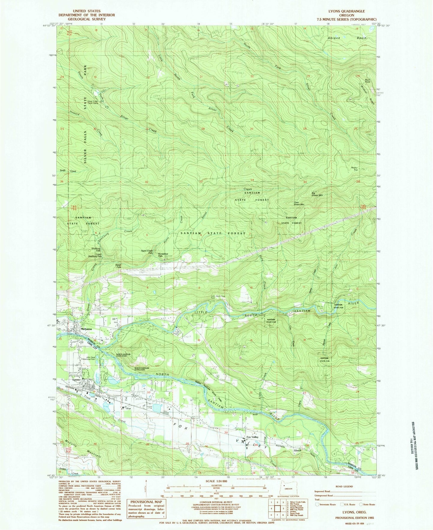
Classic USGS Lyons Oregon 7.5'x7.5' Topo Map
Couldn't load pickup availability
Historical USGS topographic quad map of Lyons in the state of Oregon. Typical map scale is 1:24,000, but may vary for certain years, if available. Print size: 24" x 27"
This quadrangle is in the following counties: Linn, Marion.
The map contains contour lines, roads, rivers, towns, and lakes. Printed on high-quality waterproof paper with UV fade-resistant inks, and shipped rolled.
Contains the following named places: Alder Creek, Ayers Creek, Beaver Creek, Big Green Mountain, Buck Mountain Fire Break, Cherry Creek, Cox Creek, Fox Valley Cemetery, Jeeter Creek, Lyons, Mari - Linn Elementary School, McCully Mountain, Mehama, Polly Creek, Rocky Top, Santiam Valley Grange, Shellburg Creek, Shellburg Falls, South Silver Creek Youth Camp, Stasel Falls, Taylor Grove, Lower Shellburg Falls, Ayers Creek Falls, Stout Creek Falls, Noroma Creek, Walker Creek, Cow Creek, Horseshoe Falls, Manis Creek, Buck Point, Fawn (historical), Gooch, Little Green Mountain, Little North Santiam River, Fox Valley, Fox Valley, North Fork County Park, Kiel Creek, Ornoname 7 Dam, Fox Valley Post Office (historical), Gooch Post Office (historical), Lyons Post Office, Mehama Post Office (historical), Weatbery (historical), Freres Log Ponds, Lyons Log Pond, North Santiam State Park, John Neal Memorial County Park, Lyons Mehama County Park, City of Lyons, Lyons Rural Fire Protection District Station 1, Freres Lumber, Lyons City Hall, Lyons Public Library, John Neal Memorial County Park Boat Ramp, Lyons - Mehama County Park Boat Ramp, Fishermen's Bend Bureau of Land Management Boat Ramp


