MyTopo
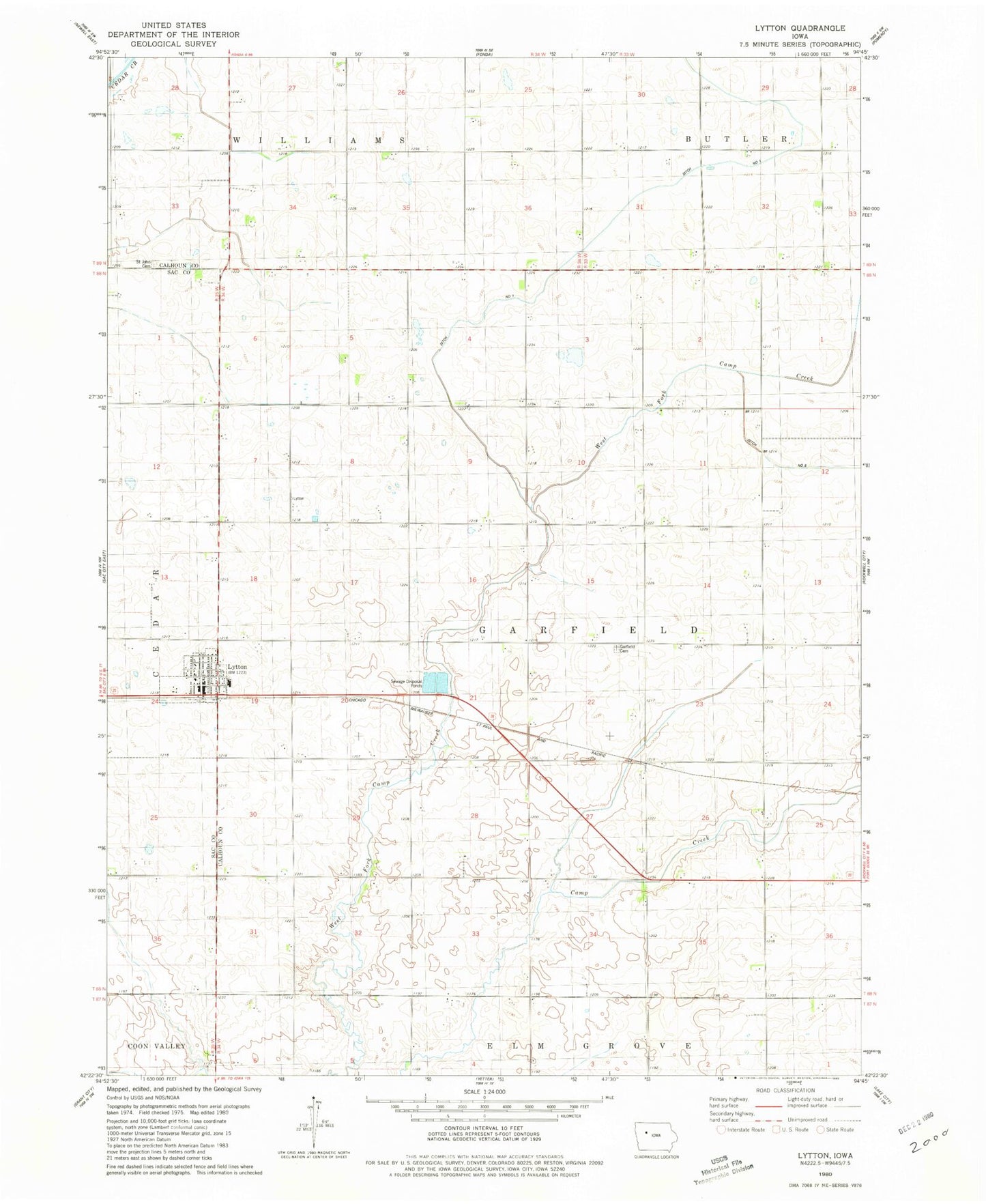
Classic USGS Lytton Iowa 7.5'x7.5' Topo Map
Couldn't load pickup availability
Historical USGS topographic quad map of Lytton in the state of Iowa. Map scale may vary for some years, but is generally around 1:24,000. Print size is approximately 24" x 27"
This quadrangle is in the following counties: Calhoun, Sac.
The map contains contour lines, roads, rivers, towns, and lakes. Printed on high-quality waterproof paper with UV fade-resistant inks, and shipped rolled.
Contains the following named places: Briggs Woods Lake, Briggs Woods Lake Dam, Burns Post Office, City of Lytton, Crandall Post Office, Drainage Ditch Number 1, Farmers Co-operative Company Elevator, Garfield Cemetery, Lutheran Church, Lytton, Lytton City Hall, Lytton Fire Department, Lytton Post Office, Lytton Public Library, Presbyterian Church, Saint John Cemetery, Township of Garfield, ZIP Codes: 50551, 50561