MyTopo
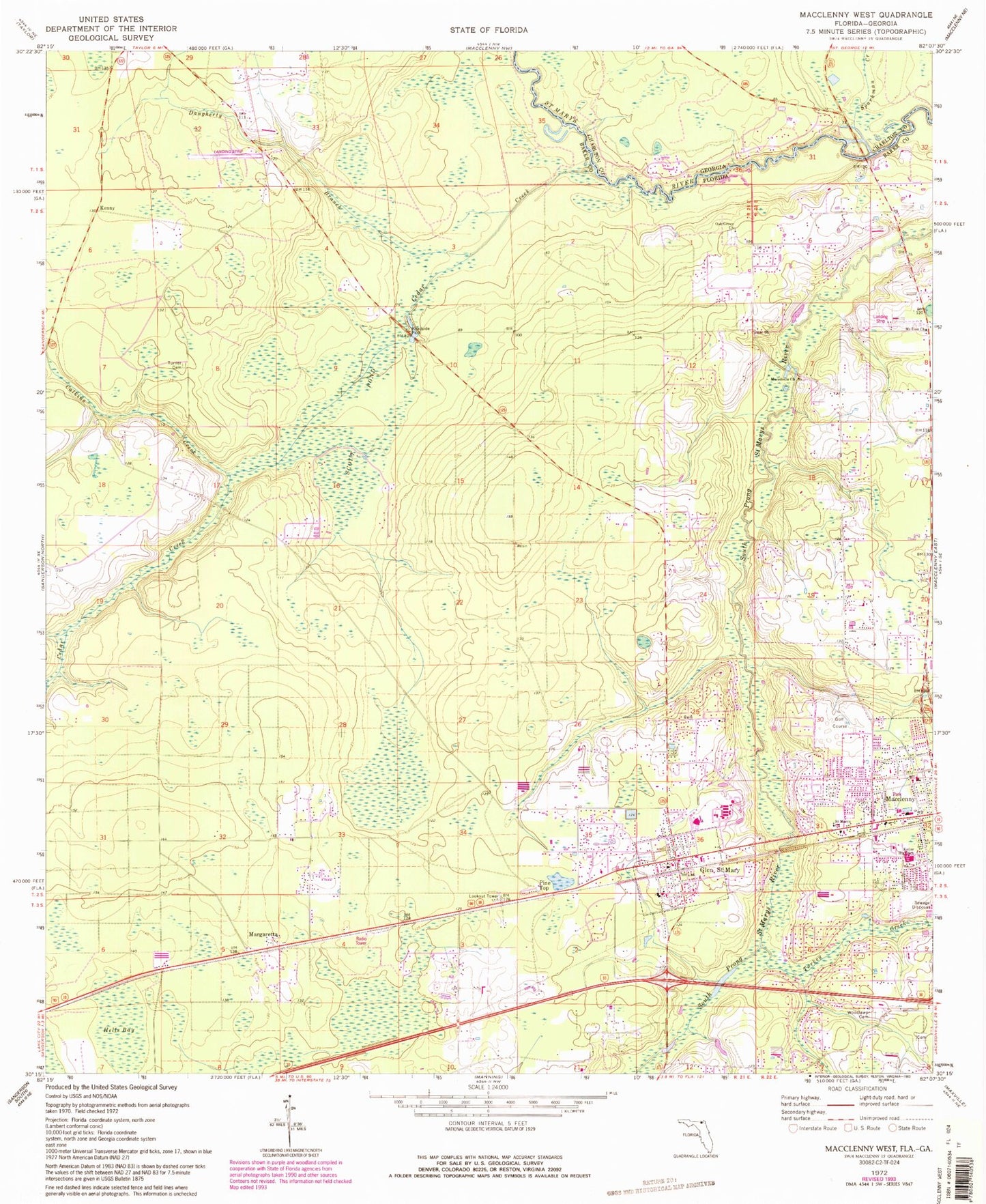
Classic USGS Macclenny West Florida 7.5'x7.5' Topo Map
Couldn't load pickup availability
Historical USGS topographic quad map of Macclenny West in the states of Florida, Georgia. Map scale may vary for some years, but is generally around 1:24,000. Print size is approximately 24" x 27"
This quadrangle is in the following counties: Baker, Charlton.
The map contains contour lines, roads, rivers, towns, and lakes. Printed on high-quality waterproof paper with UV fade-resistant inks, and shipped rolled.
Contains the following named places: Allen Chapel African Methodist Episcopal Church, Baker County Fire Department - Baker County EMS Station 90, Baker County Fire Department Station 20, Baker County Fire Department Station 50 Glen Saint Mary, Baker County High School, Baker Fire Control Headquarters, Calkins Creek, Calvary Baptist Church, Cedar Creek, Christian Fellowship Temple, City of Macclenny, Claudes Mobile Home Park, Cuyler Field, Daugherty Branch, Davis Park Mobile Home Park, Emmanuel Baptist Church, Emmanuel Church of God in Christ, Faith Baptist Church, Glen Saint Mary, Glen Saint Mary Post Office, Hells Bay, Keller High School, Kenny, Kingdom Hall of Jehovahs Witnesses, Macclenny Elementary School, Macclenny Fire Department Station 2, Macedonia Church, Margaretta, Mount Zion Church, Oak Grove Church, Pine Top, Saint Marys Church, Scout Pond, Smith Bridge, Sparkman Creek, Thrifts Airport, Town of Glen Saint Mary, Turkey Creek, Turner Cemetery, Westside Elementary School, Woodlawn Cemetery