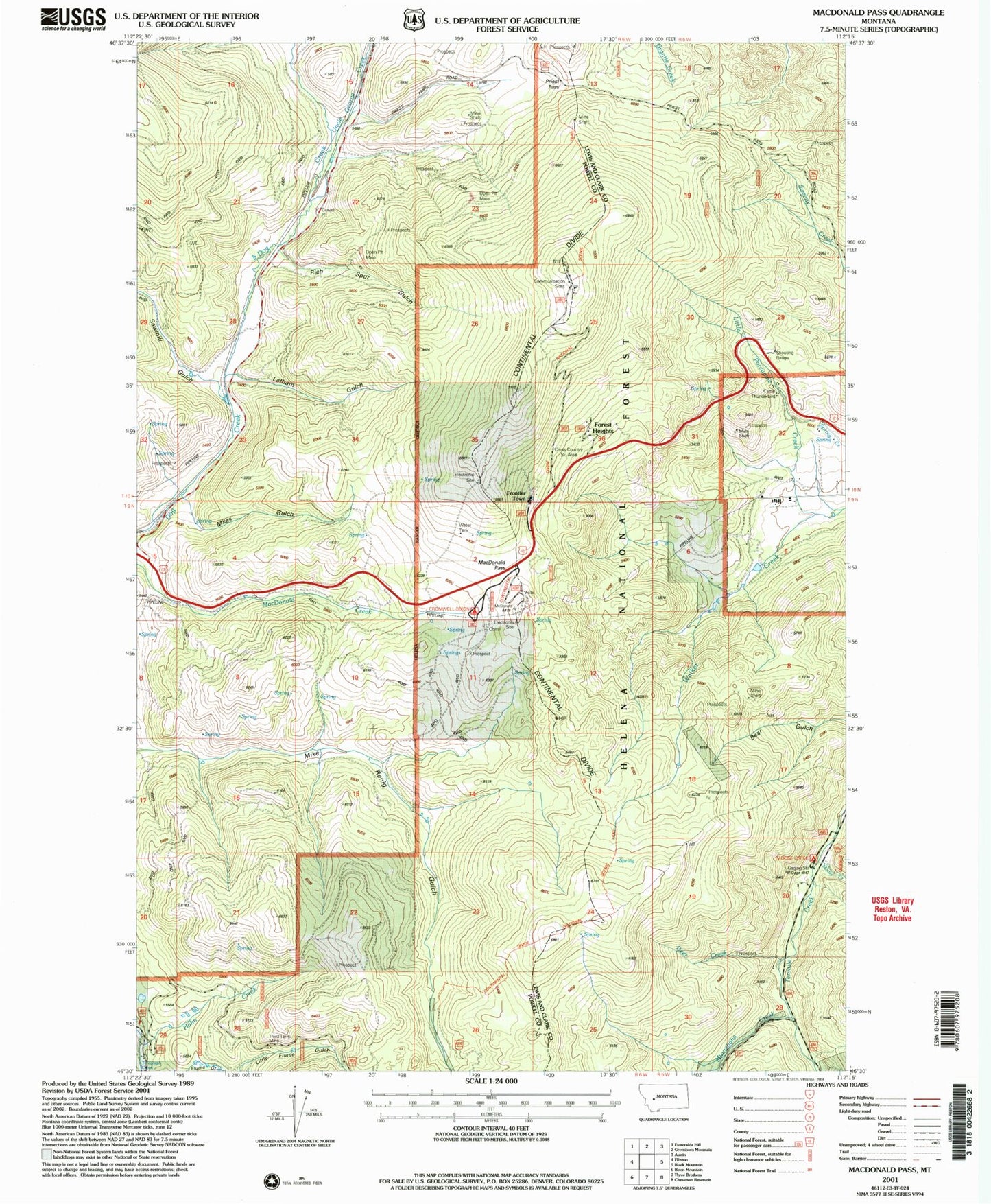
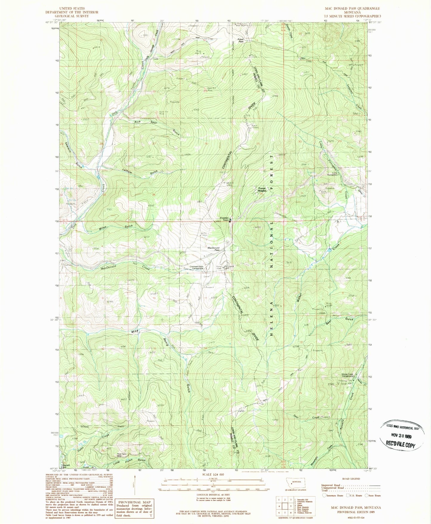
MyTopo
Classic USGS MacDonald Pass Montana 7.5'x7.5' Topo Map
Couldn't load pickup availability
Historical USGS topographic quad map of MacDonald Pass in the state of Montana. Map scale may vary for some years, but is generally around 1:24,000. Print size is approximately 24" x 27"
This quadrangle is in the following counties: Lewis and Clark, Powell.
The map contains contour lines, roads, rivers, towns, and lakes. Printed on high-quality waterproof paper with UV fade-resistant inks, and shipped rolled.
Contains the following named places: Bear Gulch Trail, Boy Scout Camp, Camp Thunderbird, Clarkston Post Office, Cromwell Dixon Campground, Deer Creek, Forest Heights, Frontier Town, Hahn Creek, Latham Gulch, Little Porcupine Creek, MacDonald Pass, MacDonald Pass Campground, Miles Gulch, Minnehaha, Minnehaha Creek, Moose Creek, Moose Creek Campground, Porcupine Campground, Priest Pass, Rich, Rich Spur Gulch, Sawmill Gulch, Terra Firma, Third Term Mine, Uncle George Creek, Vista Point of Interest