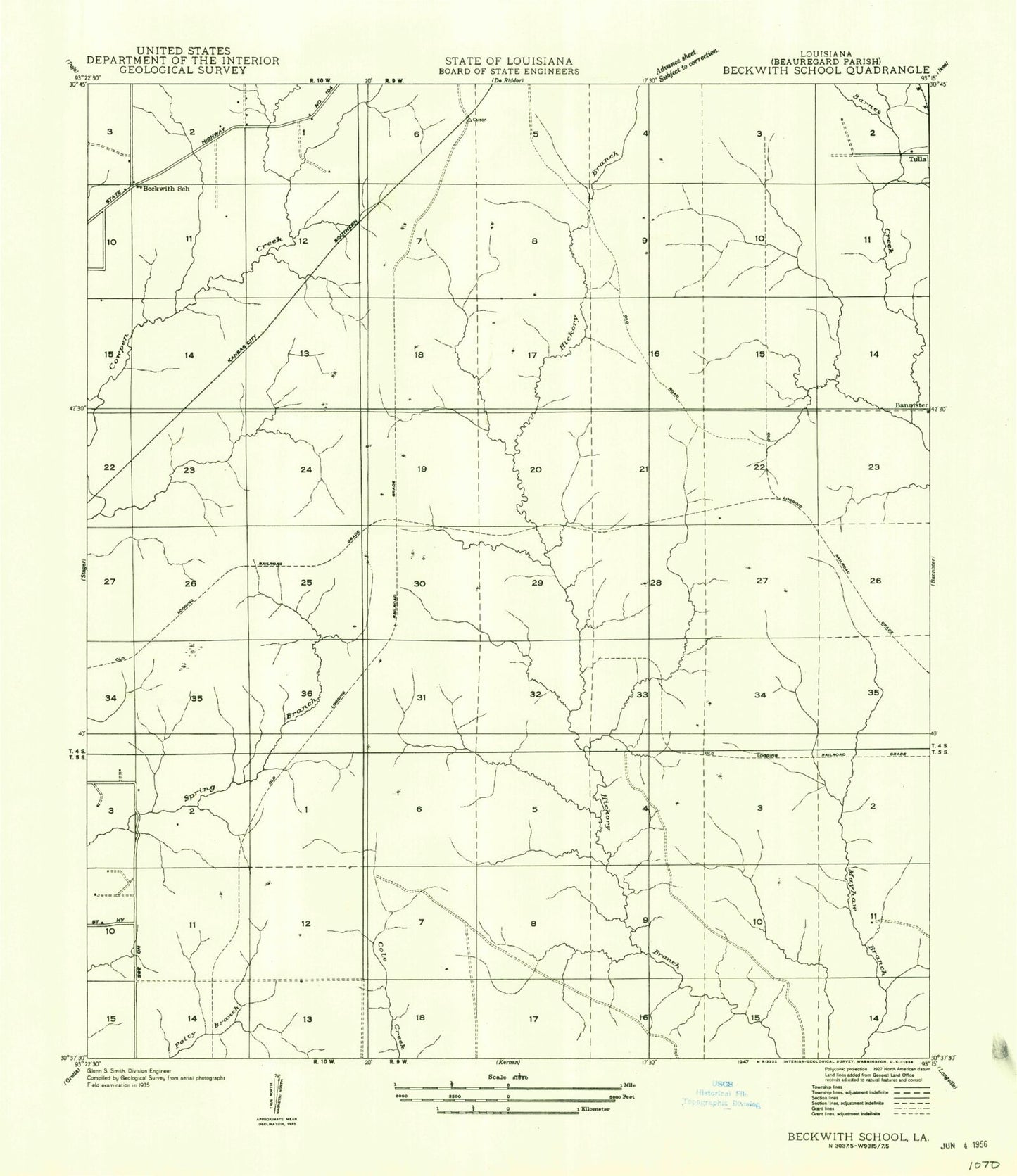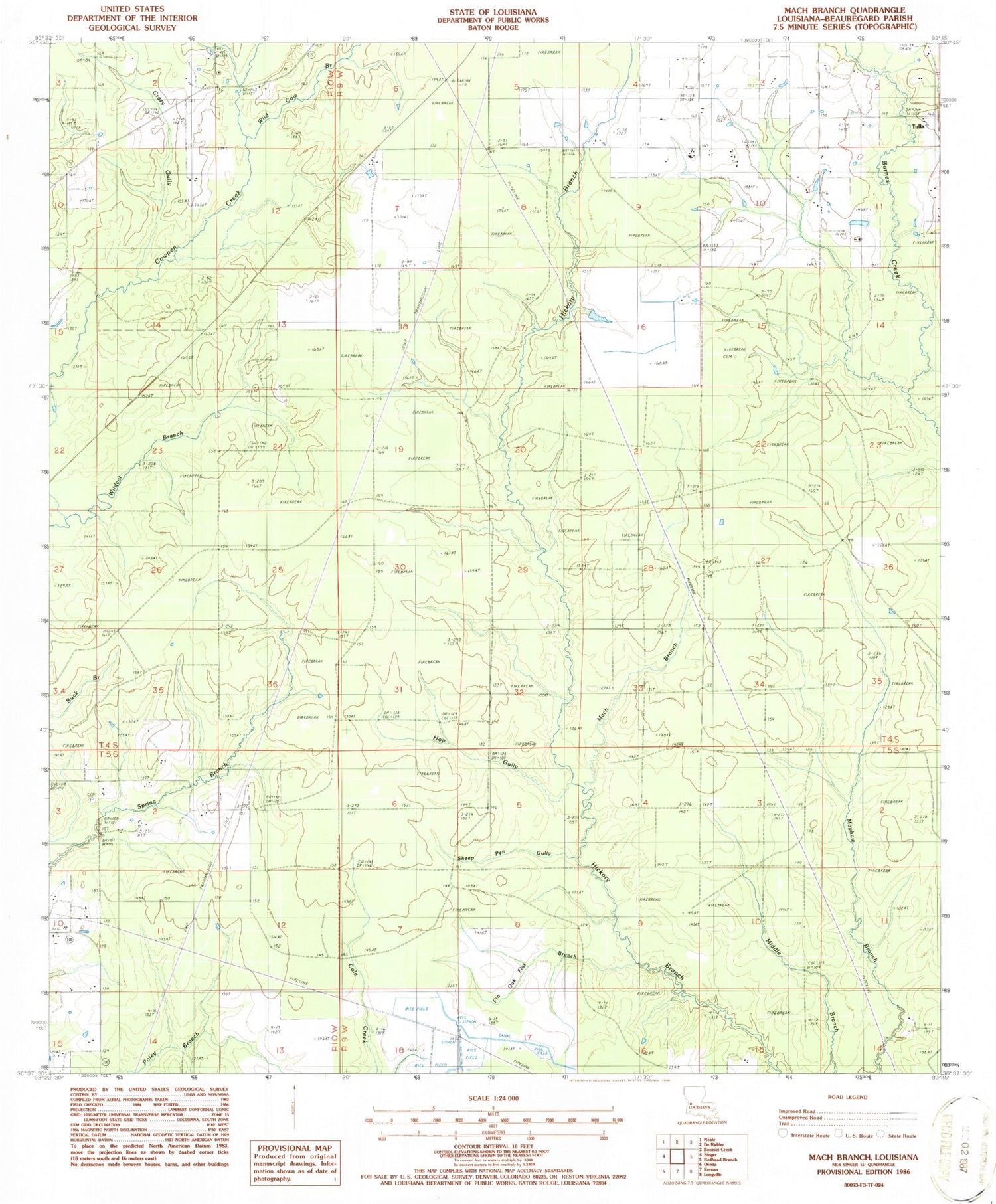
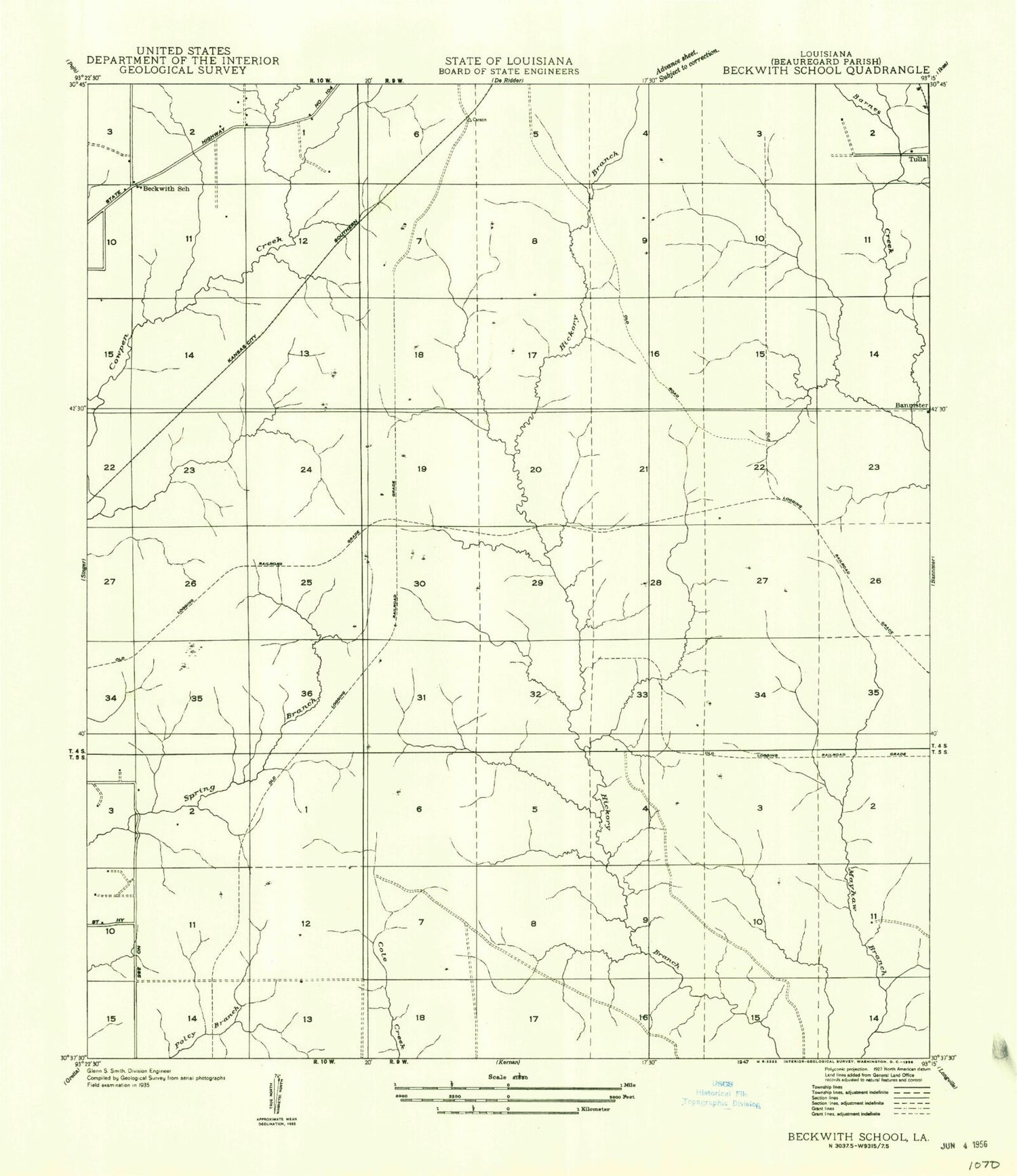
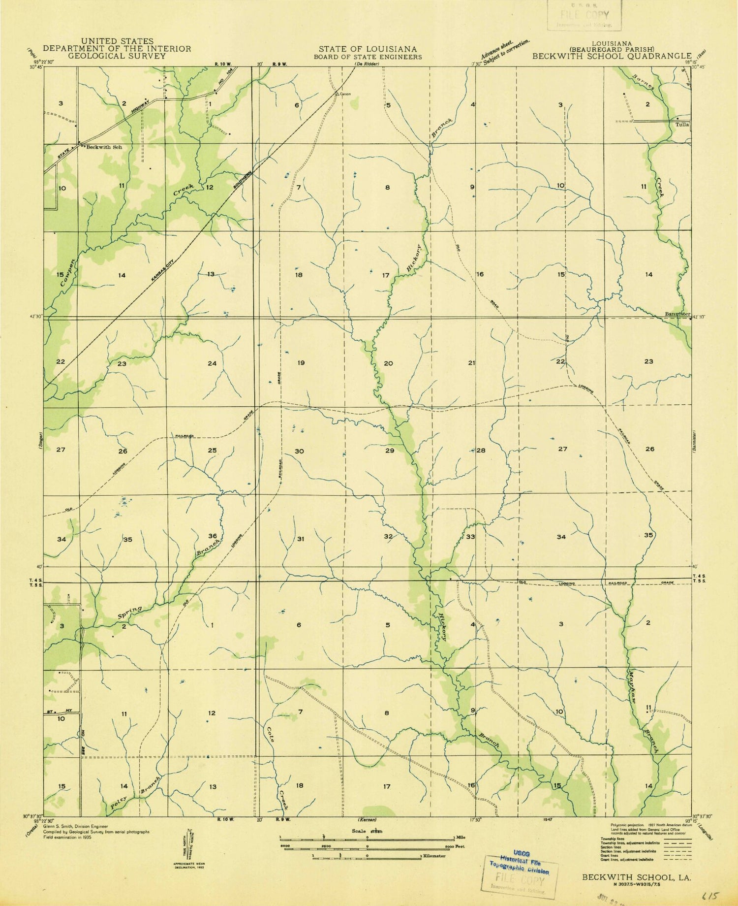
MyTopo
Classic USGS Mach Branch Louisiana 7.5'x7.5' Topo Map
Regular price
$16.95
Regular price
Sale price
$16.95
Unit price
per
Couldn't load pickup availability
Historical USGS topographic quad map of Mach Branch in the state of Louisiana. Map scale may vary for some years, but is generally around 1:24,000. Print size is approximately 24" x 27"
This quadrangle is in the following counties: Beauregard.
The map contains contour lines, roads, rivers, towns, and lakes. Printed on high-quality waterproof paper with UV fade-resistant inks, and shipped rolled.
Contains the following named places: Beauregard Parish, Bishop Cemetery, Crazy Gully, Havens Cemetery, Hop Gully, Mach Branch, Marked Tree Pens, Marktree Baptist Church, Pin Oak Flat Branch, Sheep Pen Gully, Tulla, Wild Cow Branch