MyTopo
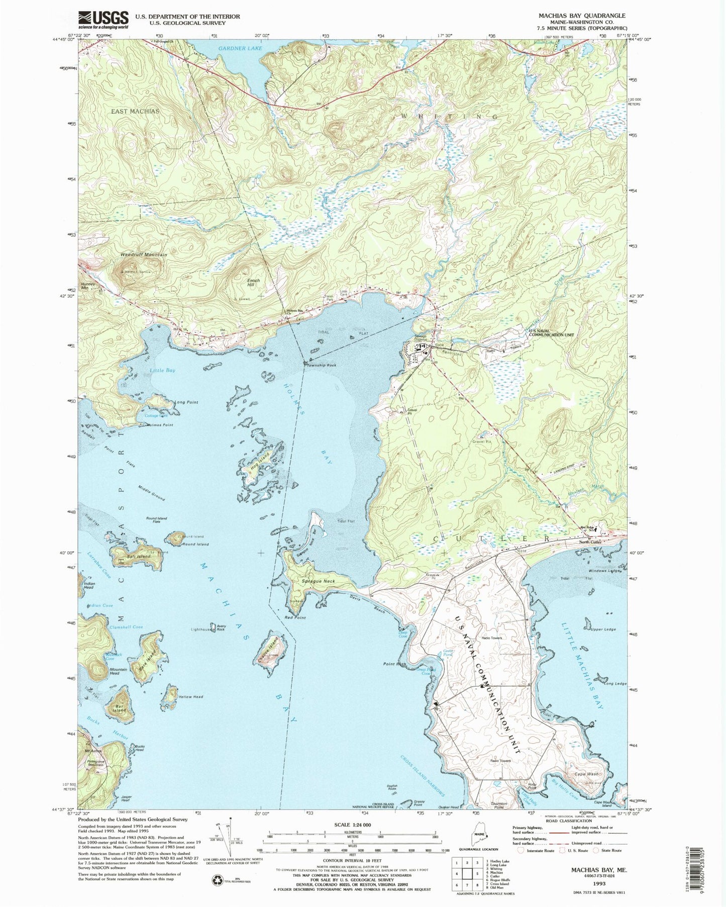
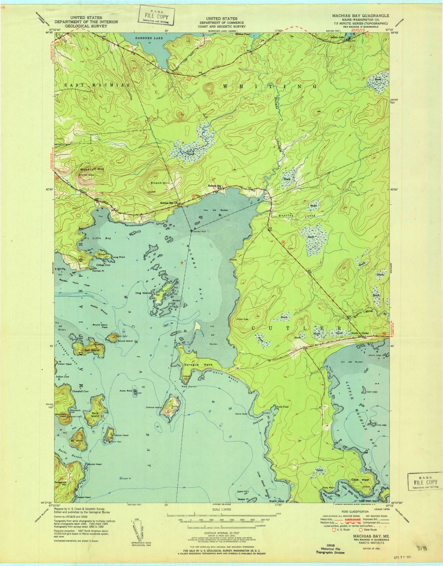
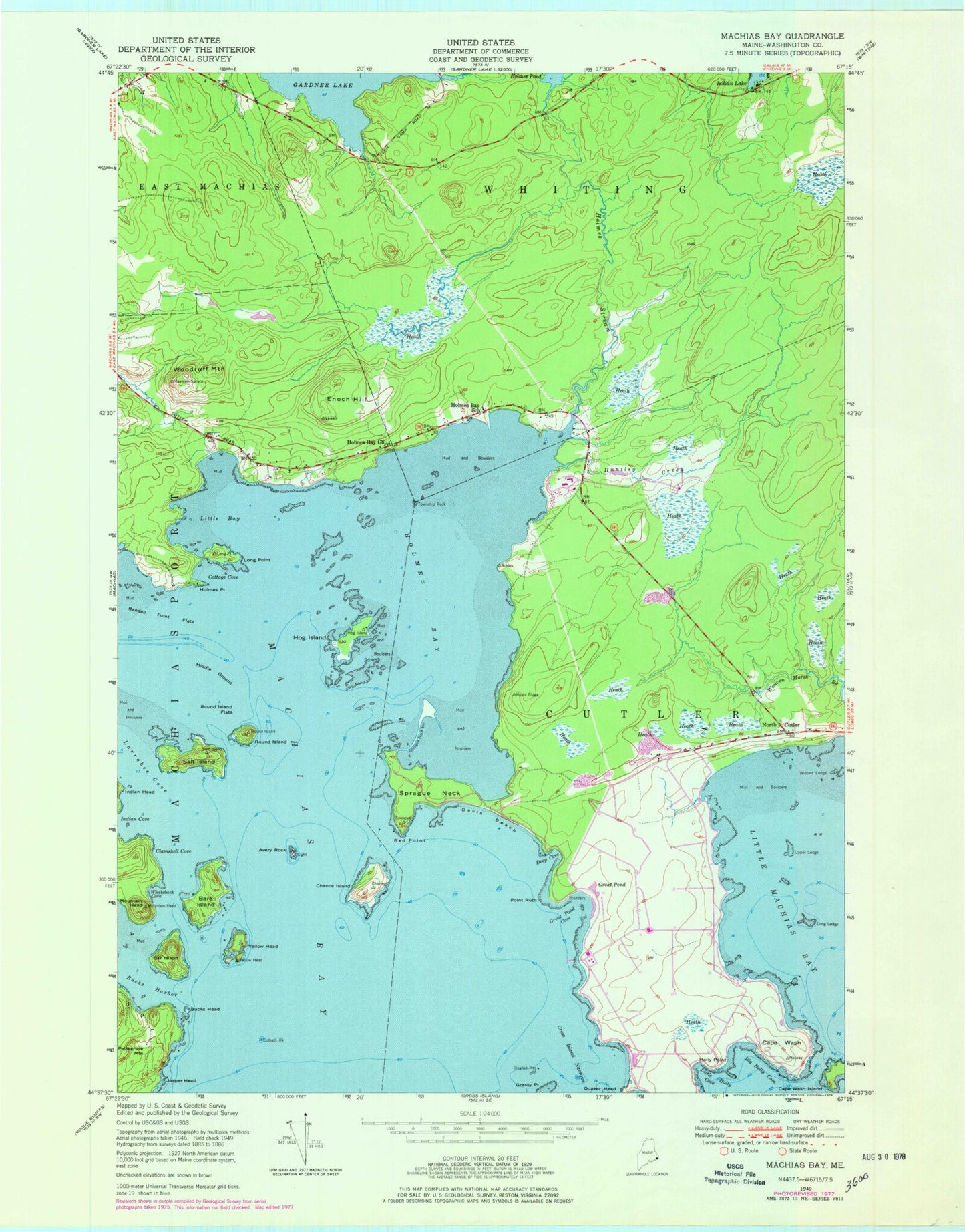
Classic USGS Machias Bay Maine 7.5'x7.5' Topo Map
Couldn't load pickup availability
Historical USGS topographic quad map of Machias Bay in the state of Maine. Map scale may vary for some years, but is generally around 1:24,000. Print size is approximately 24" x 27"
This quadrangle is in the following counties: Washington.
The map contains contour lines, roads, rivers, towns, and lakes. Printed on high-quality waterproof paper with UV fade-resistant inks, and shipped rolled.
Contains the following named places: Avery Rock, Avery Rock Lighthouse, Bar Island, Bare Island, Bay Ridge Elementary School, Big Holly Cove, Bucks Harbor, Bucks Head, Cape Wash, Cape Wash Island, Chance Island, Clamshell Cove, Colbeth Rock, Cottage Cove, Cutler Navy Fire Department, Cutler Regional Airport, Davis Beach, Deep Cove, Dogfish Rocks, Enoch Hill, Grassy Point, Great Pond, Great Pond Cove, Hog Island, Holly Point, Holmes Bay, Holmes Bay Church, Holmes Bay School, Holmes Point, Holmes Pond, Holmes Stream, Huntley Creek, Indian Cove, Jasper Beach, Jasper Head, Larrabee Cove, Little Bay, Little Holly Cove, Little Machias Bay, Long Ledge, Long Point, Machias Bay, Mary Look Cemetery, Middle Ground, Mountain Head, Naval Radio Station Cutler, North Cutler, Pettegrove Mountain, Point Ruth, Randall Point Flats, Red Point, Round Island, Round Island Flats, Salt Island, Sprague Neck, Sprague Neck Bar, Township Rock, Upper Ledge, Waleback Cove, Windows Ledge, Woodruff Mountain, Yellow Head


