MyTopo
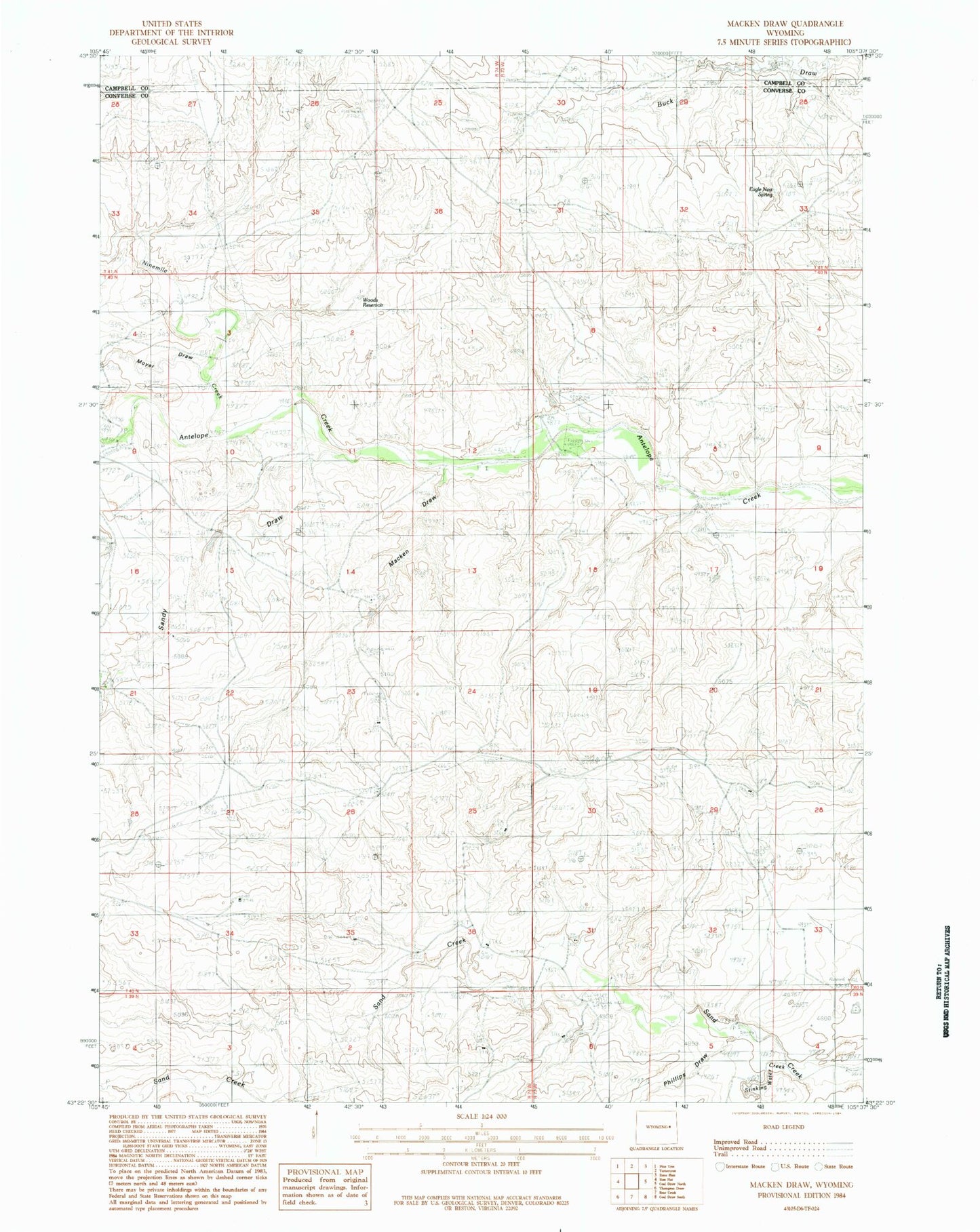
Classic USGS Macken Draw Wyoming 7.5'x7.5' Topo Map
Regular price
$16.95
Regular price
Sale price
$16.95
Unit price
per
Couldn't load pickup availability
Historical USGS topographic quad map of Macken Draw in the state of Wyoming. Map scale may vary for some years, but is generally around 1:24,000. Print size is approximately 24" x 27"
This quadrangle is in the following counties: Campbell, Converse.
The map contains contour lines, roads, rivers, towns, and lakes. Printed on high-quality waterproof paper with UV fade-resistant inks, and shipped rolled.
Contains the following named places: Betty Mine, Fred Taylor Ranch, Jenson Number 1 Dam, Jenson Number 1 Reservoir, Macken Draw, Moore Ranch Airport, Moyer Draw, Ninemile Creek, Phillips Draw, Sand Creek Number One Mine, Sand Creek Number Two Mine, Sandy Draw, Stinking Water Creek, WG Taylor Ranch