MyTopo
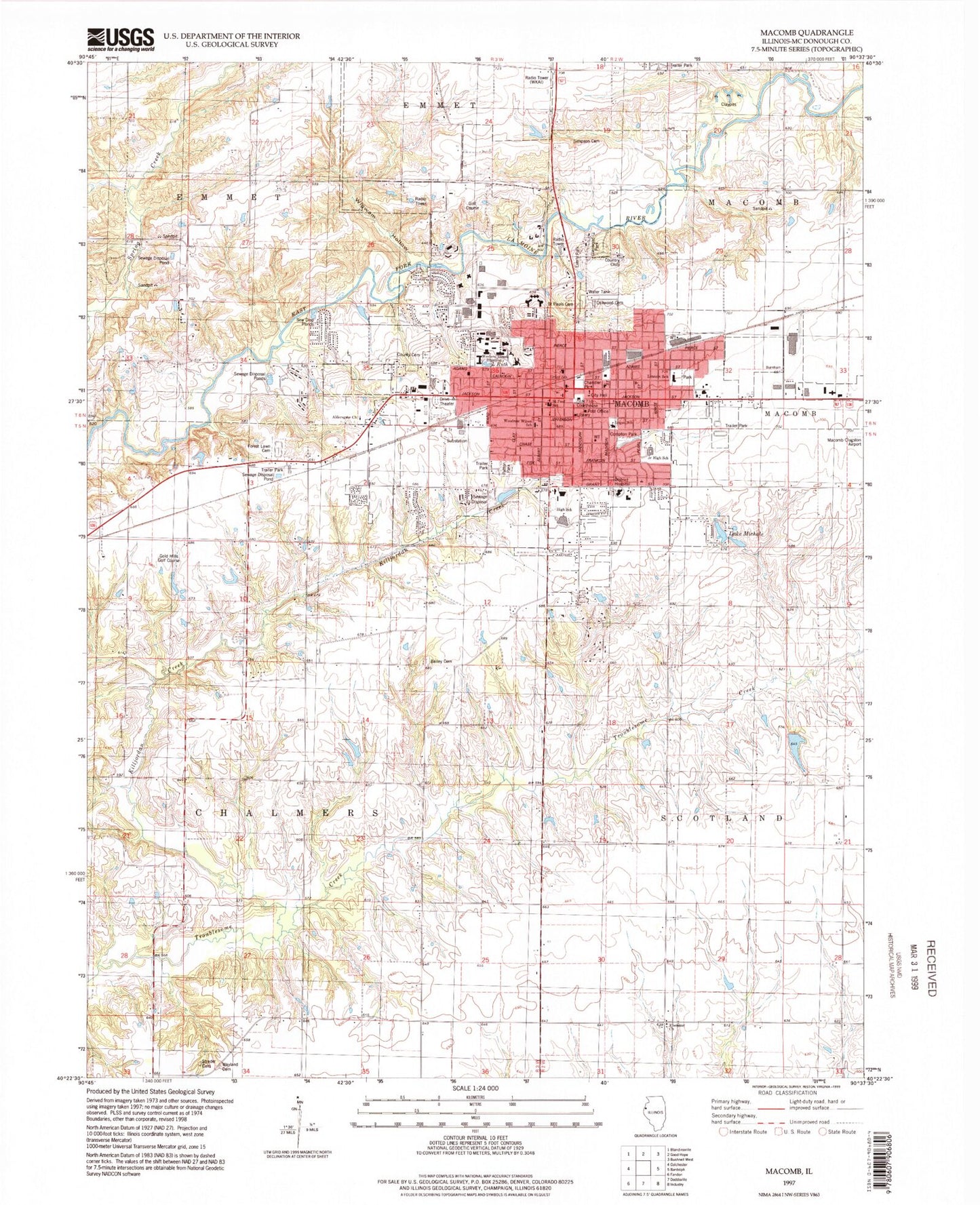
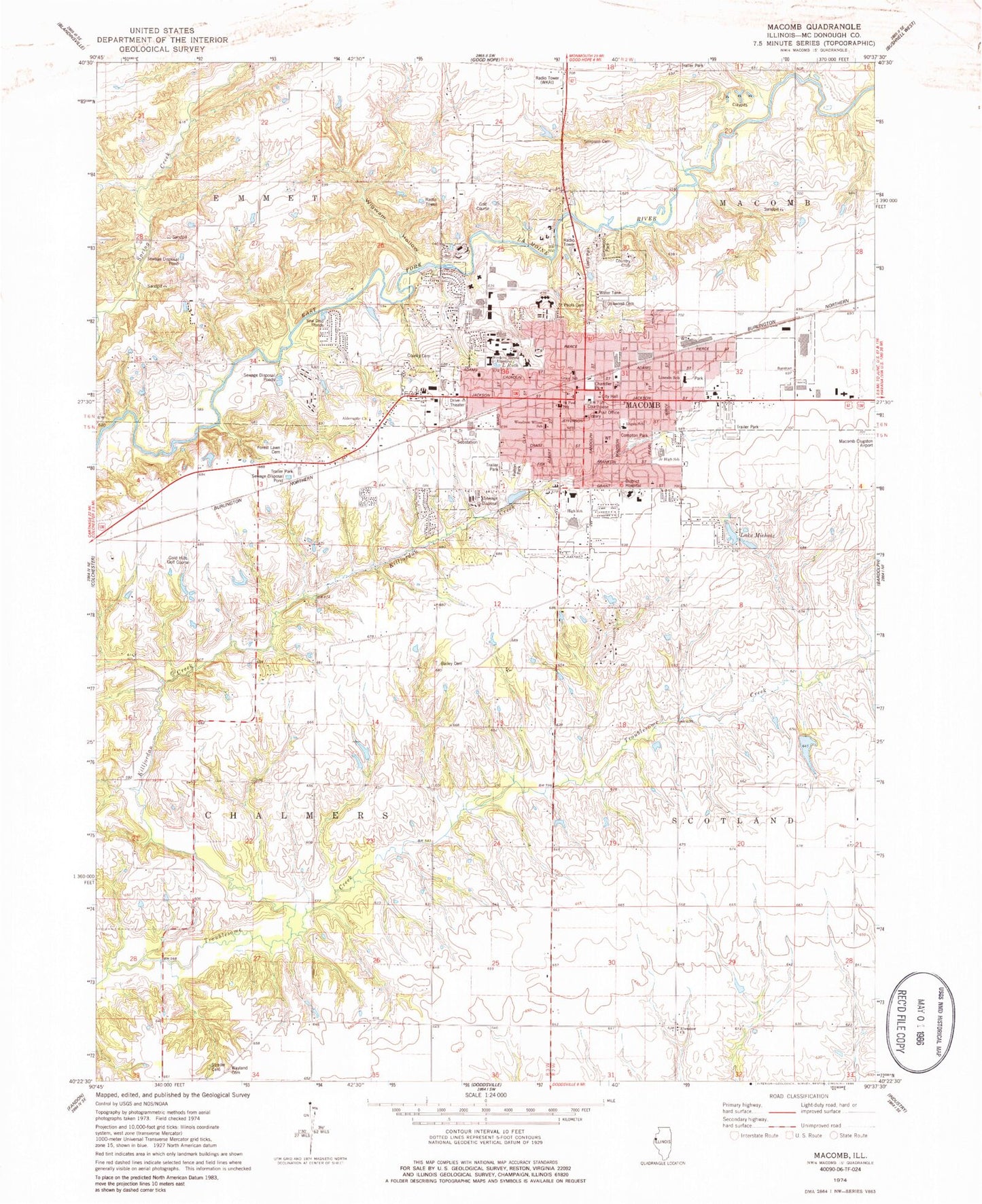
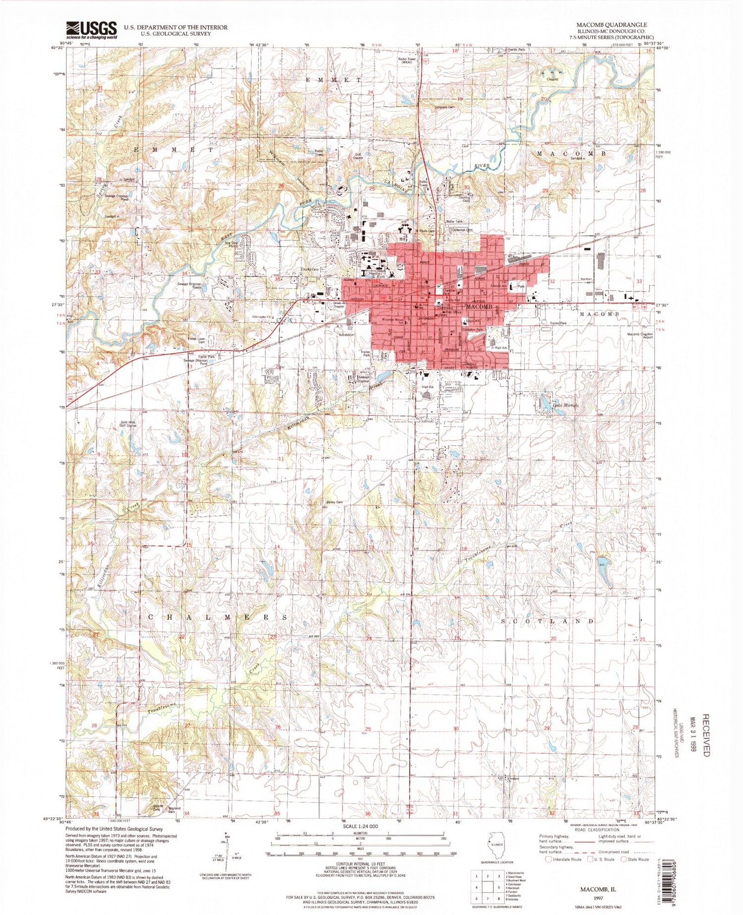
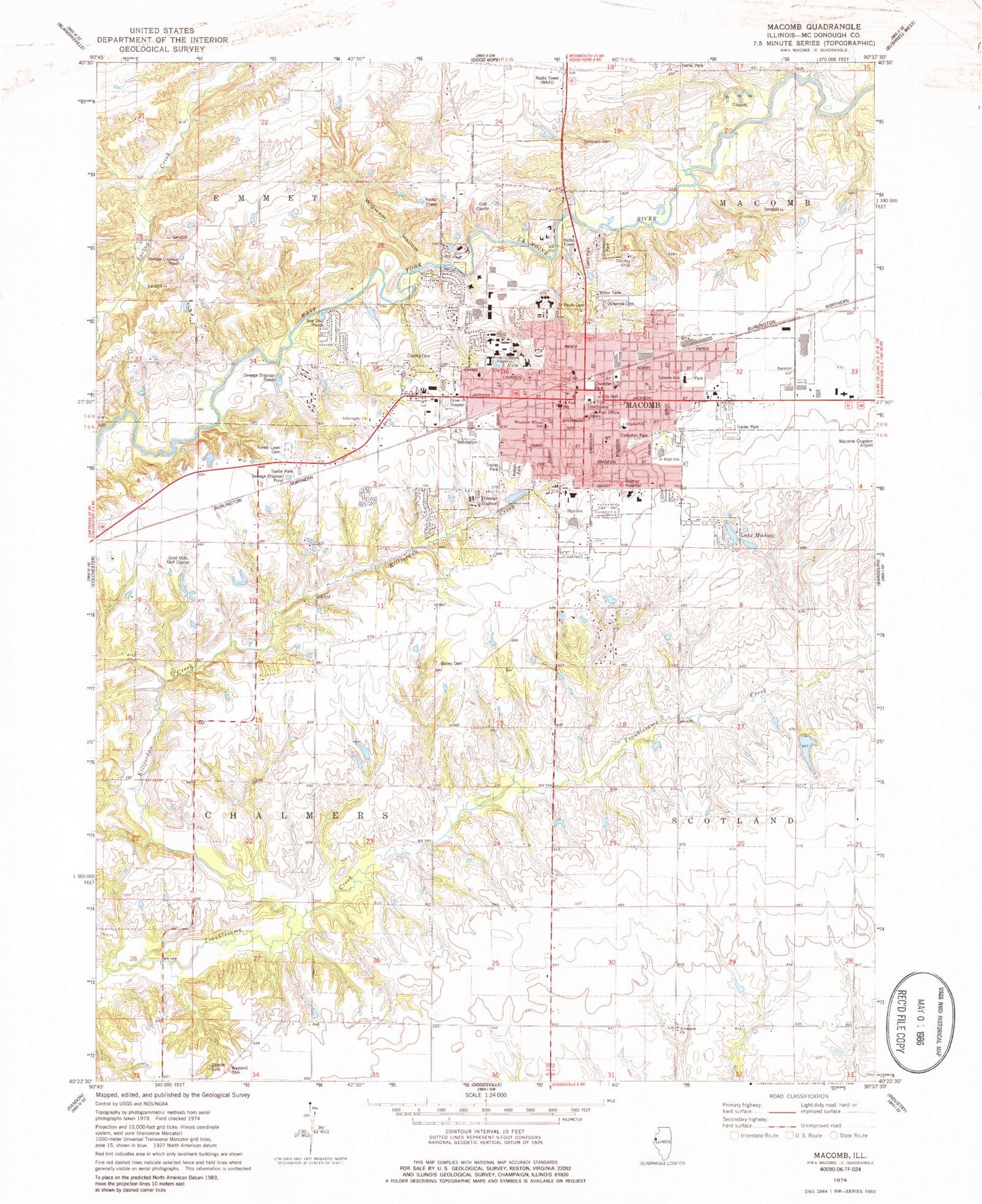
Classic USGS Macomb Illinois 7.5'x7.5' Topo Map
Couldn't load pickup availability
Historical USGS topographic quad map of Macomb in the state of Illinois. Map scale may vary for some years, but is generally around 1:24,000. Print size is approximately 24" x 27"
This quadrangle is in the following counties: McDonough.
The map contains contour lines, roads, rivers, towns, and lakes. Printed on high-quality waterproof paper with UV fade-resistant inks, and shipped rolled.
Contains the following named places: Aldersgate Free Methodist Church, Apostolic Lighthouse, Bailey Cemetery, Bayliss Hall, Bennett Hall, Beu Health Center, Brickyard School, Brooks Cultural Center, Brophy Hall, Brown Chapel, Browne Hall, Calvary Baptist Church, Chandler Park, Christian Endeavor Chapel, Christian Faith Center, Church of Christ, Church of God Abrahamic Faith, Church of the Nazarene, City of Macomb, Compton Park, Corbin Hall, Covenant Presbyterian Church, Cricketwood Green Lake, Cricketwood Green Lake Dam, Currens Hall, Downing Park, East Village, Ebenezer Presbyterian Church, Ebenezer School, Edison Junior High School, Eisenhower Tower, Elms Nursing Home, Emmet - Chalmers Fire Protection District, Everly Park, Excelsior School, Fairmont School, Faith Fellowship Chapel, Faith United Methodist Church, First Baptist Church, First Born Church of the Living God, First Christian Church, First Church of Christ Scientist, First Missionary Baptist Church, First United Presbyterian Church, Forest Lawn Cemetery, Garwood Hall, Georgetown, Georgetown Census Designated Place, Glenwood Park, Gold Hills Golf Course, Gooseneck School, Grant Elementary School, Hanson Field, Harmony School, Henninger Hall, Hickory Grove School, Higgins Hall, Holiness Outreach Ministry, Horn Field Campus, Horrabin Hall, Hursh Hall, Illinois State Police Department District 14, Immanauel Lutheran Church, Jackson Street Cumberland Presbyterian Church, Killjordan Creek, Kingdom Hall of Jehovahs Witnesses, Knoblauch Hall, Korean United Methodist Church, Lake Michale, Lake Ruth, Lamone Village, Lincoln Elementary School, Lincoln Hall, Litchfield School, Little Ireland, Logan Elementary School, Long Nine School, MacArthur Elementary School, Macomb, Macomb Alliance Church, Macomb Assembly of God Church, Macomb City Hall, Macomb City Waterworks, Macomb Country Club, Macomb Female Seminary, Macomb Fire Department Station 1, Macomb Fire Department Station 2, Macomb Free Methodist Church, Macomb High School, Macomb Police Department, Macomb Post Office, Macomb Public Library, Maguire School, Maple Avenue Christian Church, McDonough County, McDonough County Courthouse, McDonough County Hospital Heliport, McDonough County Jail, McDonough County Orphanage, McDonough County Rehabilitation Center, McDonough County Sheriff's Office, McDonough District Hospital, McNair School, Memorial Hall, Morgan Hall, Mount Calvary Church of God in Christ, Mowbray Hall, O L Champion Golf Course, Oakwood Cemetery, Oakwood School, Old Catholic Cemetery, Old Macomb Cemetery, Olson Confernece Center, Patrick Lake, Patrick Lake Dam, Patton Park, Riden Cemetery, Saint Georges Episcopal Church, Saint Paul Cemetery, Saint Paul School, Saint Pauls Catholic Church, Salem Methodist Episcopal Church, Sallee Hall, Seal Hall, Second Baptist Church, Sherman Hall, Simpkins Hall, Simpson Cemetery, Spoon River College Extension, Sprucewood Healthcare Center, Stipes Hall, Strader Cemetery, Tanner Hall, The Church of Jesus Christ of Latter Day Saints, Thompson Hall, Tillman Hall, Township of Chalmers, Township of Macomb City, Trinity Evangelical Lutheran Church, Trinity Methodist Church, Universalist Church of Macomb, University Baptist Church, University Union, University Village, Victory Baptist Church, Waggoner Hall, Washington Hall, Wayland Cemetery, Wesley United Methodist Church, Western Academy, Western Hall, Western Illinois University, Wetzel Hall, Wigwam Hollow, Wilson Elementary School, WIUM-FM (Macomb), WIUS-FM (Macomb), WJEQ-FM (Macomb), WKAI-FM (Macomb), WLRB-AM (Macomb), WMEC-TV (Macomb), ZIP Code: 61455


