MyTopo
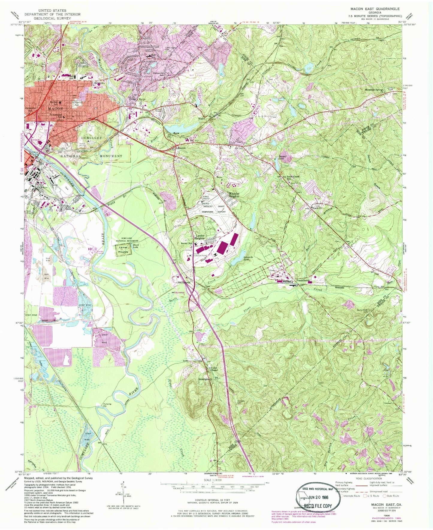
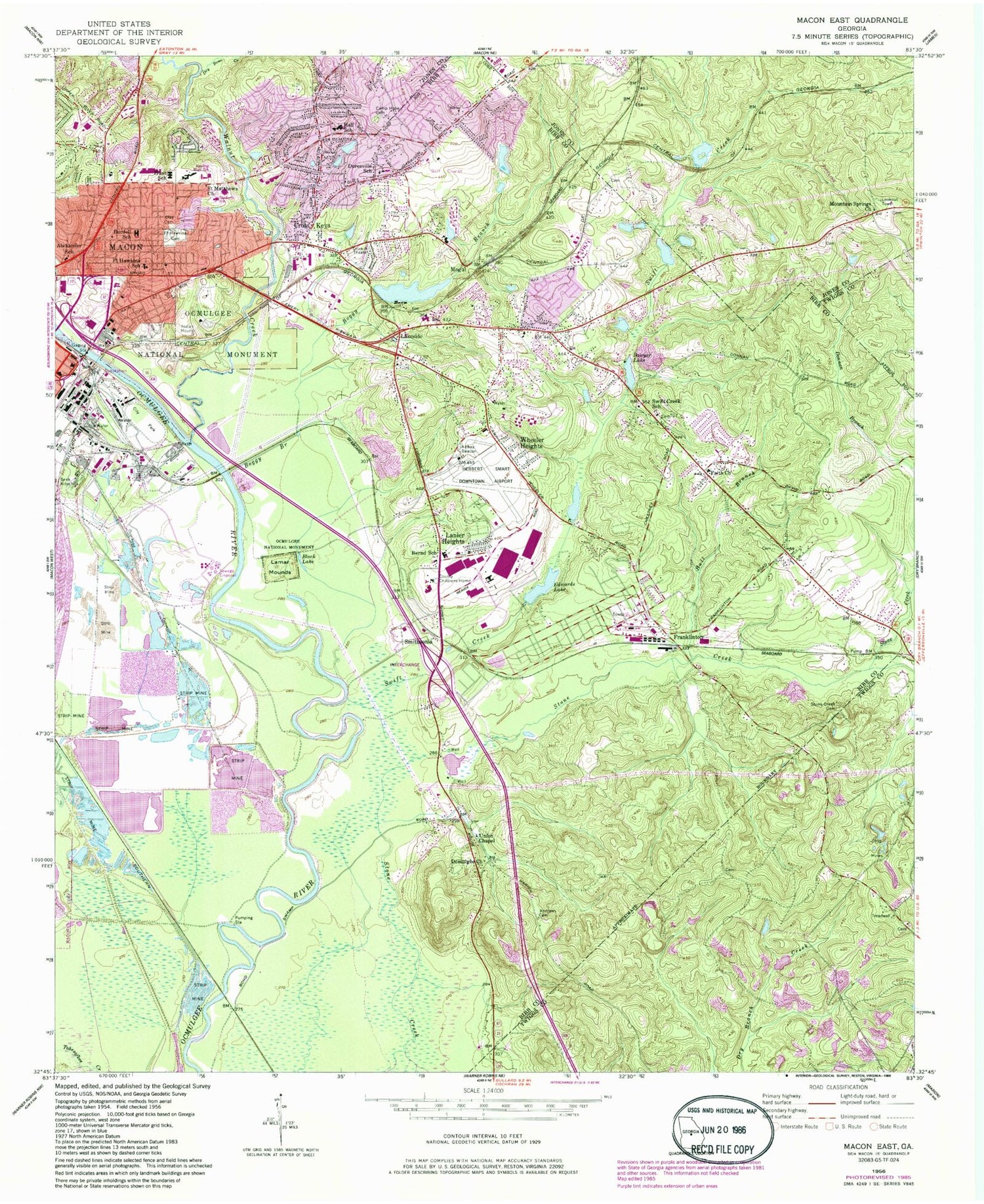
Classic USGS Macon East Georgia 7.5'x7.5' Topo Map
Couldn't load pickup availability
Historical USGS topographic quad map of Macon East in the state of Georgia. Map scale may vary for some years, but is generally around 1:24,000. Print size is approximately 24" x 27"
This quadrangle is in the following counties: Bibb, Jones, Twiggs.
The map contains contour lines, roads, rivers, towns, and lakes. Printed on high-quality waterproof paper with UV fade-resistant inks, and shipped rolled.
Contains the following named places: Alexander School, Andrews Cemetery, Andrews Hill, Appling High School, Baker Lake, Baker Lake Dam, Belvedere Manor, Bernd School, Black Lake, Boggy Branch, Bowden Golf Course, Bridgeman, Bristol Forest, Burdell School, Camp Hope Cemetery, Cauley Lake, Cauley Lake Dam, Coliseum Center for Behavioral Health, Coliseum Medical Center, Conner Park, Cross Keys, Cross Keys Christian Academy, Crystal Springs, Danforth School, Dry Bone Creek, Dry Branch Post Office, Duresville, Duresville Church, Duresville School, East Macon, Edwards Lake, Edwards Lake Dam, Faith Church, Fire Station Number 4, Fort Hawkins, Fort Hawkins School, Fort Hill Cemetery, Franklinton, Georgia Forestry Commission, Georgia State Fairgrounds, Groveland, Hall Branch, Hall School, Heritage Acres, Highland Hills, Hunt School, Jones County Shopping Center, Kings Park, Lake Arrowhead, Lakeside, Lakeside Dam, Lakeside Hill, Lakeside Park, Lakeside Reservoir, Lanier Heights, Lanier Heights Church, Macon - Bibb County Fire Department Station 1, Macon - Bibb County Fire Department Station 101, Macon - Bibb County Fire Department Station 9, Macon Downtown Airport, Macon East Division, Macon Police Department Precinct 1, McCrory School, Mogul, Morningside, Mountain Springs Cemetery, Mountain Springs Church, Newcastle School, Northeast High School, Northeast Plaza Shopping Center, Ocmulgee Church, Ocmulgee National Monument, Saint Matthews Church, Sanders, Sawyer Lake, Sawyer Lake Dam, Shirlington, Smithsonia, Stone Creek Cemetery, Stone Lake, Stone Lake Dam, Sunnydale Acres, Swift Creek, Swift Creek Baptist Church, Swift Creek Division, Swift Creek School, Tanglewood, Terrell, Thornton Heights, Town and Country Shopping Center, Union Chapel, Van Buren, Walker Lakes, Walnut Creek, Walter P Jones Elementary School, WAYS-FM (Macon), WBML-AM (Macon), Weaver Heights, WGXA-TV (Macon), Wheeler Heights, Whispering Pines, WIBB-AM (Macon), WMAZ-TV (Macon), WMGT-TV (Macon), Wood Valley, WPEZ-FM (Macon), ZIP Codes: 31201, 31217


