MyTopo
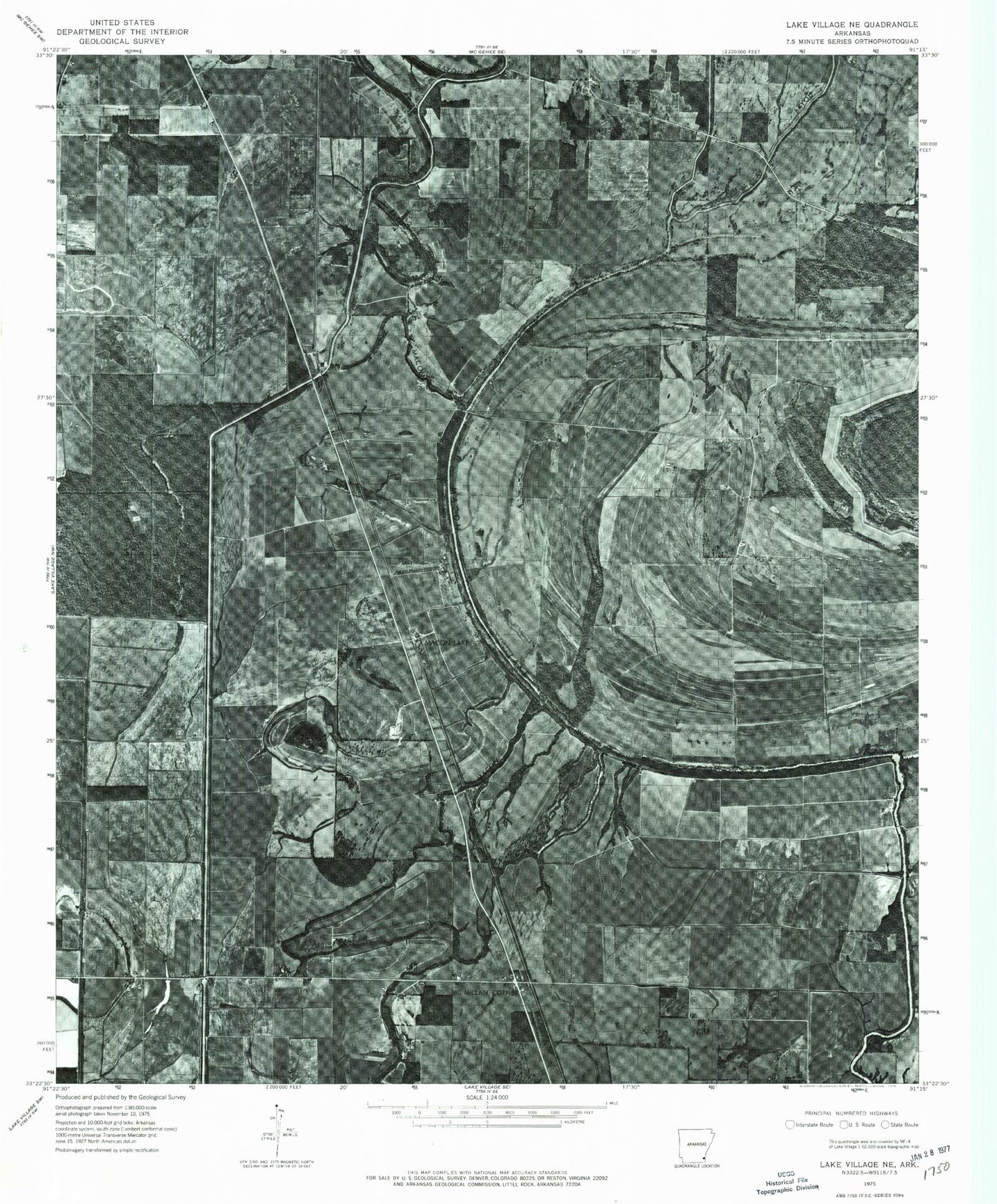
Classic USGS Macon Lake Arkansas 7.5'x7.5' Topo Map
Couldn't load pickup availability
Historical USGS topographic quad map of Macon Lake in the state of Arkansas. Map scale may vary for some years, but is generally around 1:24,000. Print size is approximately 24" x 27"
This quadrangle is in the following counties: Chicot.
The map contains contour lines, roads, rivers, towns, and lakes. Printed on high-quality waterproof paper with UV fade-resistant inks, and shipped rolled.
Contains the following named places: Bowman, Connerly Bayou, Connerly Bayou Pumping Station Dam, Diversion Canal Number 1, Duck Lake, East Boggy Bayou, Elmwood, Holly Grove Cemetery, Holly Grove Church, Hollywood Church, Kaplin, Macon Lake, Maxey, McMillan Corner, Midway Church, Panther Forest, Pleasant Green Cemetery, Pleasant Green Church, Strangers Rest Church, Swift Bayou, Tolliver Cemetery, Township of Bowie, Township of Oden, Township of Railroad, West Boggy Bayou, Yellow Bayou, Yellow Bayou Cemetery