MyTopo
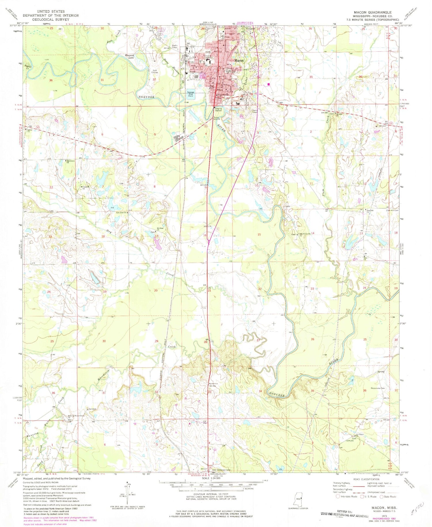
Classic USGS Macon Mississippi 7.5'x7.5' Topo Map
Couldn't load pickup availability
Historical USGS topographic quad map of Macon in the state of Mississippi. Map scale may vary for some years, but is generally around 1:24,000. Print size is approximately 24" x 27"
This quadrangle is in the following counties: Noxubee.
The map contains contour lines, roads, rivers, towns, and lakes. Printed on high-quality waterproof paper with UV fade-resistant inks, and shipped rolled.
Contains the following named places: Bells, Calvary Baptist Church, Cedar Creek, Cedar Grove Church, Central Academy, Church of Christ, City of Macon, Cockrell Lake Dam, Coleman Lake Dam, Concord Church, Conners Mill, DeJarnate Cemetery, Dry Creek, Elon, Elon Church, Episcopal Church of the Nativity, Evans Lake Dam, First Baptist Church, First United Methodist Church, Hall Lake Dam, Horse Hunters Creek, Howard Lake, Ivy Grove Church, Joes Creek, Lindley Lake Dam, Loveladys Mill, Macedonia Creek, Macon, Macon City Hall, Macon Fire Department, Macon Independant Methodist Church, Macon Lagoon Dam, Macon Police Department, Macon Post Office, Macon Presbyterian Church, Mount Sinai Church, New Zion Church, Noxubee County, Noxubee County Courthouse, Noxubee County Elementary School, Noxubee County High School, Noxubee County Junior High School, Noxubee County Sheriff's Office, Noxubee County Vocational Center, Noxubee General Hospital, Oak Grove Church, Odd Fellows Cemetery, Parkeville, Plum Creek, Poplar Creek, Reed Attendance Center, Running Water Creek, Running Water Creek Church, Saint John Church, Saint Paul Missionary Baptist Church, Saint Paul United Methodist Church, Salem Church, Salem United Methodist Church Cemetery, Sand Creek, Supervisor District 3, Vandevender Lake Dam, West Sdie Baptist Church, William Lake Dam, Zion Hill Church, ZIP Code: 39341


