MyTopo
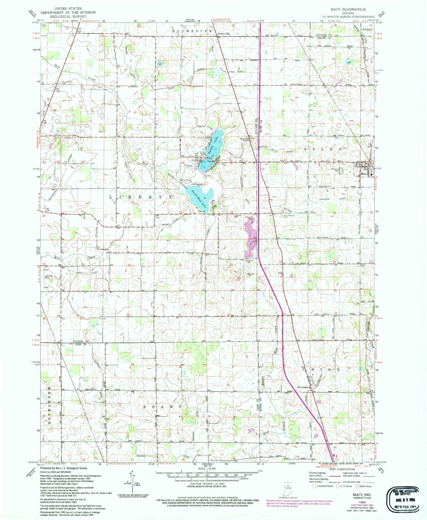
Classic USGS Macy Indiana 7.5'x7.5' Topo Map
Couldn't load pickup availability
Historical USGS topographic quad map of Macy in the state of Indiana. Map scale may vary for some years, but is generally around 1:24,000. Print size is approximately 24" x 27"
This quadrangle is in the following counties: Cass, Fulton, Miami.
The map contains contour lines, roads, rivers, towns, and lakes. Printed on high-quality waterproof paper with UV fade-resistant inks, and shipped rolled.
Contains the following named places: Beecher Ditch, Breece Ditch, Clemans Smith Ditch, Dubois Ditch, Fenters Ditch, Five Corners Cemetery, Fouts Ditch, Fry Ditch, Green Ditch, Green Oak, Macy, Macy Allen Township Volunteer Fire Department, Macy Post Office, Miller Ditch, Mills Ditch, Mills Tributary Number Two, Mount Olive Cemetery, Mud Lake Chapel, Nyona Lake, Perrysburg, Plainview Cemetery, Rannels Ditch, Rentschler Ditch, Smith Ditch, South Branch Mud Creek, South Mud Lake, Town of Macy, Township of Liberty, Ulerich Ditch, Wagoner, Weaver Davis Ditch, Whitmore Ditch, Zanger Ditch, ZIP Code: 46988